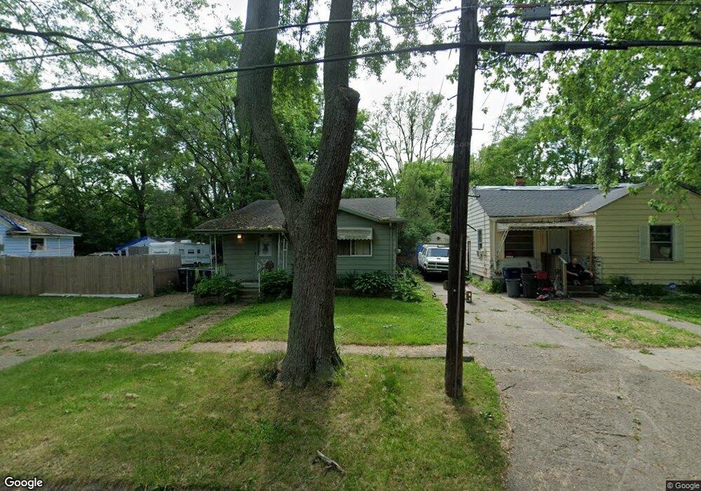
2025 Hoff St Flint, MI 48506
Eastside NeighborhoodEstimated Value: $34,000 - $54,000
3
Beds
1
Bath
924
Sq Ft
$47/Sq Ft
Est. Value
About This Home
This home is located at 2025 Hoff St, Flint, MI 48506 and is currently estimated at $43,479, approximately $47 per square foot. 2025 Hoff St is a home located in Genesee County with nearby schools including Potter School, Flint Cultural Center Academy, and Richfield Public School Academy.
Ownership History
Date
Name
Owned For
Owner Type
Purchase Details
Closed on
Dec 8, 2023
Sold by
Elswick Rebecca Anne
Bought by
Elswick Matthew
Current Estimated Value
Purchase Details
Closed on
Sep 22, 2020
Sold by
Elswick Rebecca Anne
Bought by
Elswick Brent Douglas
Purchase Details
Closed on
Sep 8, 2015
Sold by
Genesee County Land Bank Authority
Bought by
Elswick Rebecca
Purchase Details
Closed on
May 4, 2012
Sold by
The Genesee County Land Bank Authority
Bought by
Elswick Rebecca
Purchase Details
Closed on
Dec 21, 2011
Sold by
Genesee County Treasurer
Bought by
Genesee County Land Bank
Purchase Details
Closed on
Sep 28, 2004
Sold by
Millstead Wendel M
Bought by
Smith Jessie A
Create a Home Valuation Report for This Property
The Home Valuation Report is an in-depth analysis detailing your home's value as well as a comparison with similar homes in the area
Home Values in the Area
Average Home Value in this Area
Purchase History
| Date | Buyer | Sale Price | Title Company |
|---|---|---|---|
| Elswick Matthew | -- | None Listed On Document | |
| Elswick Brent Douglas | -- | None Available | |
| Elswick Rebecca | $5,500 | None Available | |
| Elswick Rebecca | $5,500 | None Available | |
| Genesee County Land Bank | -- | None Available | |
| Smith Jessie A | $53,000 | First American Title |
Source: Public Records
Mortgage History
| Date | Status | Borrower | Loan Amount |
|---|---|---|---|
| Closed | Elswick Rebecca | $0 |
Source: Public Records
Tax History
| Year | Tax Paid | Tax Assessment Tax Assessment Total Assessment is a certain percentage of the fair market value that is determined by local assessors to be the total taxable value of land and additions on the property. | Land | Improvement |
|---|---|---|---|---|
| 2025 | $1,216 | $14,300 | $0 | $0 |
| 2024 | $1,124 | $13,300 | $0 | $0 |
| 2023 | $895 | $11,500 | $0 | $0 |
| 2022 | $0 | $9,200 | $0 | $0 |
| 2021 | $905 | $8,800 | $0 | $0 |
| 2020 | $637 | $7,800 | $0 | $0 |
| 2019 | $633 | $7,800 | $0 | $0 |
| 2018 | $624 | $7,800 | $0 | $0 |
| 2017 | $728 | $0 | $0 | $0 |
| 2016 | $748 | $0 | $0 | $0 |
| 2015 | -- | $0 | $0 | $0 |
| 2014 | -- | $0 | $0 | $0 |
| 2012 | -- | $0 | $0 | $0 |
Source: Public Records
Map
Nearby Homes
- 2426 Broadway Blvd
- 2211 Torrance St
- 2321 Levern St
- 2426 Hoff St
- 2601 Illinois Ave
- 1622 Arlington Ave
- 2506 Arlington Ave
- 1510 N Vernon Ave
- 2415 Pennsylvania Ave
- 1805 Bennett Ave
- 2610 Pennsylvania Ave
- 2217 Maryland Ave
- 2701 Branch Rd
- 2301 Missouri Ave
- 2002 Branch Rd
- 1721 New York Ave
- 2719 Branch Rd
- 2605 Nebraska Ave
- 3018 Dakota Ave
- 3149 Whittier Ave
Your Personal Tour Guide
Ask me questions while you tour the home.