2025 J Path Cotopaxi, CO 81223
Estimated Value: $31,832 - $64,000
Studio
--
Bath
--
Sq Ft
113,692
Sq Ft Lot
About This Home
This home is located at 2025 J Path, Cotopaxi, CO 81223 and is currently estimated at $50,944. 2025 J Path is a home located in Fremont County with nearby schools including Cotopaxi Elementary School and Cotopaxi Junior/Senior High School.
Ownership History
Date
Name
Owned For
Owner Type
Purchase Details
Closed on
Oct 4, 2023
Sold by
Keith Chad
Bought by
Duncan Sarah Elizabeth and Colson Mason
Current Estimated Value
Purchase Details
Closed on
Jun 22, 2022
Sold by
David Blackwood Joshua
Bought by
Keith Chad
Purchase Details
Closed on
Apr 19, 2021
Sold by
Anderson Harral George
Bought by
Schaarschmitt Maria Luisa
Purchase Details
Closed on
Apr 15, 2021
Sold by
Govin Georgia
Bought by
Blackwood Joshua David
Purchase Details
Closed on
Jan 11, 2018
Sold by
Movir Morghia
Bought by
Harrd Jeorge
Purchase Details
Closed on
Dec 20, 2017
Sold by
Harral George A
Bought by
Govin Georgia S
Create a Home Valuation Report for This Property
The Home Valuation Report is an in-depth analysis detailing your home's value as well as a comparison with similar homes in the area
Purchase History
| Date | Buyer | Sale Price | Title Company |
|---|---|---|---|
| Duncan Sarah Elizabeth | -- | None Listed On Document | |
| Keith Chad | $32,500 | None Listed On Document | |
| Schaarschmitt Maria Luisa | -- | -- | |
| Blackwood Joshua David | $10,000 | Fidelity National Title | |
| Harrd Jeorge | -- | None Available | |
| Govin Georgia S | -- | None Available |
Source: Public Records
Tax History
| Year | Tax Paid | Tax Assessment Tax Assessment Total Assessment is a certain percentage of the fair market value that is determined by local assessors to be the total taxable value of land and additions on the property. | Land | Improvement |
|---|---|---|---|---|
| 2025 | $318 | $6,695 | $6,695 | -- |
| 2024 | $318 | $6,918 | $6,918 | $0 |
| 2023 | $247 | $5,097 | $5,097 | $0 |
| 2022 | $134 | $2,876 | $2,876 | $0 |
| 2021 | $131 | $2,876 | $2,876 | $0 |
| 2020 | $32 | $709 | $0 | $0 |
| 2019 | $32 | $709 | $0 | $0 |
| 2018 | $28 | $639 | $0 | $0 |
| 2017 | $29 | $639 | $0 | $0 |
| 2016 | $29 | $640 | $0 | $0 |
| 2015 | $28 | $640 | $0 | $0 |
| 2012 | $33 | $796 | $796 | $0 |
Source: Public Records
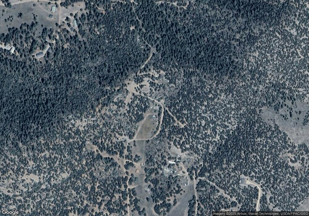
Map
Nearby Homes
- 000 K Path
- 739 17th Trail
- 0 98704420 Unit REC8510437
- xx 22nd Trail
- TBD 24th Trail
- TBD 25th Trail
- 2125 J Path
- 2176 L Path
- 0 21st Trail Unit REC1871091
- 639 15th Trail
- 1839 15th Trail
- 863 15th Trail
- 1629 County Road 27a
- 763 17th Trail
- 1971 County Road 27a
- TBD County Road 27a
- 0 27th Trail
- 2576 L Path
- TBD 27th Trail
- 0 Tbd Vacant Land Unit 2517535
- 1013 21st Trail
- 1038 20th Trail
- 1013 22nd Trail
- 99925147 I Path
- 000 21st Trail
- 1063 22nd Trail
- 3 Tbd
- 939 19th Trail
- 0 K Path Unit 6688597
- 0 K Path Unit 8642609
- 0 K Path Unit 23498
- 0 K Path Unit 2473142
- 1876 I Path
- 99925144 I Path
- TBD I Path Unit 21
- TBDTR58A I Path
- TBD MB I Path
- TBD I Path
- 11th Trail I Path
- 44 I Path
Your Personal Tour Guide
Ask me questions while you tour the home.