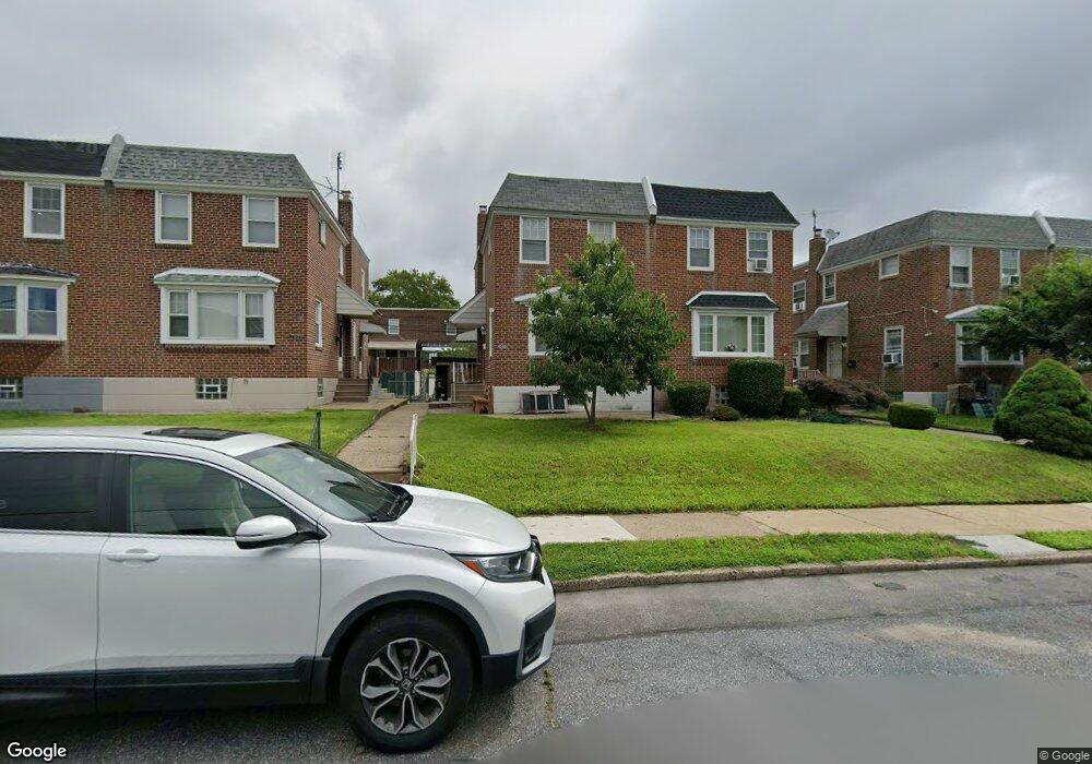
2025 Lansing St Philadelphia, PA 19152
Rhawnhurst NeighborhoodEstimated Value: $267,000 - $313,000
--
Bed
--
Bath
1,306
Sq Ft
$228/Sq Ft
Est. Value
About This Home
This home is located at 2025 Lansing St, Philadelphia, PA 19152 and is currently estimated at $297,770, approximately $228 per square foot. 2025 Lansing St is a home with nearby schools including Rhawnhurst School, Castor Gardens Middle School, and Northeast High School.
Ownership History
Date
Name
Owned For
Owner Type
Purchase Details
Closed on
May 16, 2019
Sold by
Anastasio Frank J
Bought by
Mo Song F
Current Estimated Value
Purchase Details
Closed on
Feb 19, 2016
Sold by
Anastasio Anna
Bought by
Anastasio Anna and Anastasio Frank J
Purchase Details
Closed on
Aug 16, 1960
Bought by
Anastasio Anthony and Anastasio Anna
Create a Home Valuation Report for This Property
The Home Valuation Report is an in-depth analysis detailing your home's value as well as a comparison with similar homes in the area
Home Values in the Area
Average Home Value in this Area
Purchase History
| Date | Buyer | Sale Price | Title Company |
|---|---|---|---|
| Mo Song F | $183,000 | Statewide Abstract Group Inc | |
| Anastasio Anna | -- | None Available | |
| Anastasio Anthony | -- | -- |
Source: Public Records
Tax History Compared to Growth
Tax History
| Year | Tax Paid | Tax Assessment Tax Assessment Total Assessment is a certain percentage of the fair market value that is determined by local assessors to be the total taxable value of land and additions on the property. | Land | Improvement |
|---|---|---|---|---|
| 2025 | $3,306 | $280,200 | $56,040 | $224,160 |
| 2024 | $3,306 | $280,200 | $56,040 | $224,160 |
| 2023 | $3,306 | $236,200 | $47,240 | $188,960 |
| 2022 | $2,381 | $191,200 | $47,240 | $143,960 |
| 2021 | $3,011 | $0 | $0 | $0 |
| 2020 | $3,011 | $0 | $0 | $0 |
| 2019 | $2,741 | $0 | $0 | $0 |
| 2018 | $2,350 | $0 | $0 | $0 |
| 2017 | $2,350 | $0 | $0 | $0 |
| 2016 | $1,930 | $0 | $0 | $0 |
| 2015 | $1,848 | $0 | $0 | $0 |
| 2014 | -- | $167,900 | $39,895 | $128,005 |
| 2012 | -- | $21,696 | $4,169 | $17,527 |
Source: Public Records
Map
Nearby Homes
- 2023 Hartel Ave
- 1919 Lansing St
- 2120 Napfle St
- 7815 Horrocks St
- 1834 Lansing St
- 1826 Hartel Ave
- 1917 Griffith St
- 7912 14 Loretto Ave
- 1821 Afton St
- 7528 Loretto Ave
- 2029 Loney St
- 1824 Afton St
- 1807 Napfle Ave
- 2123 Loney St
- 1858 Glendale Ave
- 7414 Castor Ave
- 1931 33 Rhawn St
- 1714 Afton St
- 2013 Fuller St
- 2301 Ripley St
- 2027 Lansing St
- 2023 Lansing St
- 2021 Lansing St
- 2029 Lansing St
- 2019 Lansing St
- 2031 Lansing St
- 2017 Lansing St
- 2022 Hartel Ave
- 2033 Lansing St
- 2018 Hartel Ave
- 2020 Hartel Ave
- 2035 Lansing St
- 2026 Hartel Ave
- 2015 Lansing St
- 2016 Hartel Ave
- 2013 Lansing St
- 2037 Lansing St
- 2030 Hartel Ave
- 2028 Hartel Ave
- 2014 Hartel Ave