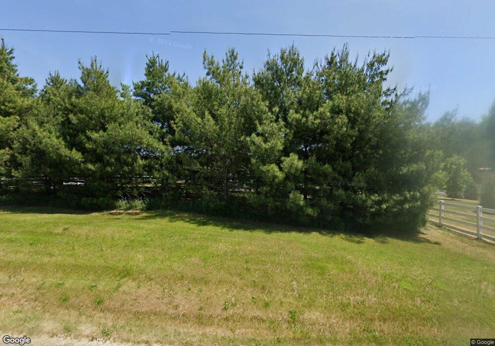
2025 N 600 E Lagrange, IN 46761
Estimated Value: $773,000 - $888,255
5
Beds
3
Baths
5,260
Sq Ft
$158/Sq Ft
Est. Value
About This Home
This home is located at 2025 N 600 E, Lagrange, IN 46761 and is currently estimated at $830,628, approximately $157 per square foot. 2025 N 600 E is a home located in LaGrange County with nearby schools including Prairie Heights Elementary School, Prairie Heights Middle School, and Prairie Heights Senior High School.
Create a Home Valuation Report for This Property
The Home Valuation Report is an in-depth analysis detailing your home's value as well as a comparison with similar homes in the area
Tax History
| Year | Tax Paid | Tax Assessment Tax Assessment Total Assessment is a certain percentage of the fair market value that is determined by local assessors to be the total taxable value of land and additions on the property. | Land | Improvement |
|---|---|---|---|---|
| 2024 | $4,323 | $782,100 | $54,000 | $728,100 |
| 2023 | $3,816 | $666,900 | $44,900 | $622,000 |
| 2022 | $4,551 | $702,800 | $40,000 | $662,800 |
| 2021 | $4,291 | $638,800 | $34,600 | $604,200 |
| 2020 | $4,338 | $633,400 | $32,900 | $600,500 |
| 2019 | $4,131 | $609,300 | $34,400 | $574,900 |
| 2018 | $4,050 | $590,600 | $34,700 | $555,900 |
| 2017 | $3,196 | $576,500 | $36,000 | $540,500 |
Source: Public Records
Map
Nearby Homes
- 3335 N 800 E
- 1055 S 495 E
- 5300 N State Road 3
- 1630 S 485 E
- 1400 N 200 E
- 8415 Indiana 120
- 2140 S 500 E
- 2375 S 460 E
- 2930 N 080 E
- 737 N Canal St
- 602 N Maple St
- 505 N Maple St
- 405 N Canal St
- 314 E Michigan St
- 207 S Poplar St
- 307 N Detroit St
- 202 W Central Ave
- 217 N Sherman St
- 70778 Halsey Square Rd
- 175 N 010 W
Your Personal Tour Guide
Ask me questions while you tour the home.
