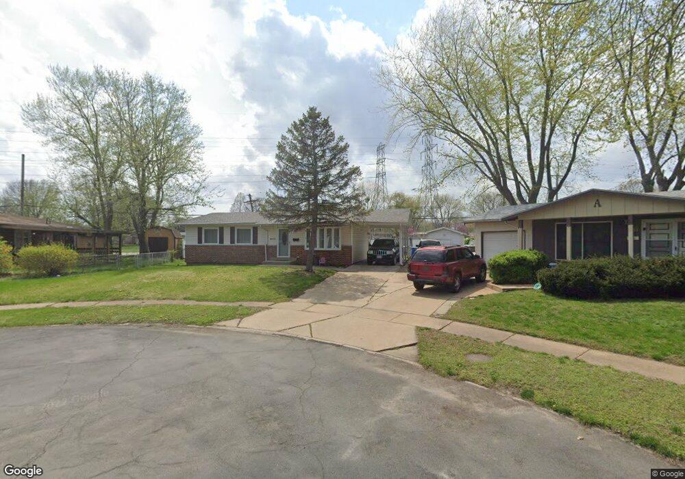
2025 N Pointe Ln Florissant, MO 63031
Estimated Value: $176,721 - $200,000
3
Beds
2
Baths
960
Sq Ft
$192/Sq Ft
Est. Value
About This Home
This home is located at 2025 N Pointe Ln, Florissant, MO 63031 and is currently estimated at $184,680, approximately $192 per square foot. 2025 N Pointe Ln is a home located in St. Louis County with nearby schools including Walker Elementary School, Northwest Middle School, and Hazelwood West High School.
Ownership History
Date
Name
Owned For
Owner Type
Purchase Details
Closed on
May 16, 2007
Sold by
Dosenbach Paul R and Dosenbach Vickie M
Bought by
Uelhof Joshua and Uelhof Kathleen
Current Estimated Value
Home Financials for this Owner
Home Financials are based on the most recent Mortgage that was taken out on this home.
Original Mortgage
$114,900
Outstanding Balance
$69,852
Interest Rate
6.16%
Mortgage Type
Purchase Money Mortgage
Estimated Equity
$114,828
Create a Home Valuation Report for This Property
The Home Valuation Report is an in-depth analysis detailing your home's value as well as a comparison with similar homes in the area
Home Values in the Area
Average Home Value in this Area
Purchase History
| Date | Buyer | Sale Price | Title Company |
|---|---|---|---|
| Uelhof Joshua | $114,900 | None Available |
Source: Public Records
Mortgage History
| Date | Status | Borrower | Loan Amount |
|---|---|---|---|
| Open | Uelhof Joshua | $114,900 |
Source: Public Records
Tax History Compared to Growth
Tax History
| Year | Tax Paid | Tax Assessment Tax Assessment Total Assessment is a certain percentage of the fair market value that is determined by local assessors to be the total taxable value of land and additions on the property. | Land | Improvement |
|---|---|---|---|---|
| 2025 | $2,536 | $30,940 | $5,610 | $25,330 |
| 2024 | $2,536 | $28,350 | $4,180 | $24,170 |
| 2023 | $2,532 | $28,350 | $4,180 | $24,170 |
| 2022 | $2,075 | $20,650 | $4,180 | $16,470 |
| 2021 | $2,022 | $20,650 | $4,180 | $16,470 |
| 2020 | $1,800 | $17,280 | $3,690 | $13,590 |
| 2019 | $1,773 | $17,280 | $3,690 | $13,590 |
| 2018 | $1,511 | $13,510 | $2,470 | $11,040 |
| 2017 | $1,509 | $13,510 | $2,470 | $11,040 |
| 2016 | $1,663 | $14,710 | $2,470 | $12,240 |
| 2015 | $1,628 | $14,710 | $2,470 | $12,240 |
| 2014 | $1,768 | $16,490 | $3,570 | $12,920 |
Source: Public Records
Map
Nearby Homes
- 2186 Aristocrat Dr
- 2255 Collier Dr
- 1395 Bluebird Dr
- 1150 Verlene Dr
- 2040 Splendor Dr
- 1120 Bluebird Dr
- 1505 Swallow Ln
- 1075 Lees Ln
- 915 Iris Dr
- 1920 Shackelford Rd
- 1245 Leisure Dr
- 1155 Mullanphy Rd
- 1830 New Sun Ct
- 1825 Swallow Ln
- 2048 New Sun Dr
- 1415 Boulder Dr
- 1863 High Sun Dr Unit 51863
- 660 Crabapple Ln
- 1885 High Sun Dr
- 890 Tyson Dr
- 2035 N Pointe Ln
- 2015 N Pointe Ln
- 1295 Humes Ln
- 2020 Loveland Dr
- 2030 Loveland Dr
- 2055 N Pointe Ln
- 2075 N Pointe Ln
- 2010 N Pointe Ln
- 1365 Verlene Dr
- 1375 Verlene Dr
- 1385 Verlene Dr
- 2011 Aristocrat Dr
- 1345 Verlene Dr
- 2024 Aristocrat Dr
- 2095 N Pointe Ln
- 1610 Loveland Dr
- 2060 Loveland Dr
- 2015 Loveland Dr
- 2070 N Pointe Ln
- 2125 N Pointe Ln