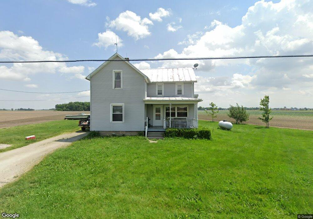
2025 N River Rd Fremont, OH 43420
Estimated Value: $166,000 - $174,823
3
Beds
1
Bath
1,245
Sq Ft
$137/Sq Ft
Est. Value
About This Home
This home is located at 2025 N River Rd, Fremont, OH 43420 and is currently estimated at $170,412, approximately $136 per square foot. 2025 N River Rd is a home located in Sandusky County with nearby schools including Fremont Ross High School, Bishop Hoffman Catholic School - This is St Joe's School now, and St. Joseph School.
Ownership History
Date
Name
Owned For
Owner Type
Purchase Details
Closed on
Mar 23, 2020
Sold by
Rathfelder Gary J
Bought by
Rathfelder Michelle
Current Estimated Value
Purchase Details
Closed on
Aug 12, 2011
Sold by
Rathfelder Gary J and Rathfelder Janice
Bought by
Rathfelder Gary J
Purchase Details
Closed on
Apr 26, 2010
Sold by
Estate Of James F Rathfelder
Bought by
Rathfelder Gary J
Purchase Details
Closed on
Jul 1, 1992
Sold by
Rathfelder James F
Bought by
Rathfelder Gary J
Purchase Details
Closed on
Aug 1, 1988
Bought by
Rathfelder Gary J
Create a Home Valuation Report for This Property
The Home Valuation Report is an in-depth analysis detailing your home's value as well as a comparison with similar homes in the area
Home Values in the Area
Average Home Value in this Area
Purchase History
| Date | Buyer | Sale Price | Title Company |
|---|---|---|---|
| Rathfelder Michelle | -- | None Available | |
| Rathfelder Gary J | -- | Attorney | |
| Rathfelder Gary J | -- | None Available | |
| Rathfelder Gary J | -- | -- | |
| Rathfelder Gary J | -- | -- |
Source: Public Records
Tax History Compared to Growth
Tax History
| Year | Tax Paid | Tax Assessment Tax Assessment Total Assessment is a certain percentage of the fair market value that is determined by local assessors to be the total taxable value of land and additions on the property. | Land | Improvement |
|---|---|---|---|---|
| 2024 | $1,749 | $52,920 | $29,260 | $23,660 |
| 2023 | $1,749 | $42,360 | $23,420 | $18,940 |
| 2022 | $1,396 | $42,360 | $23,420 | $18,940 |
| 2021 | $1,439 | $42,360 | $23,420 | $18,940 |
| 2020 | $1,492 | $40,780 | $22,860 | $17,920 |
| 2019 | $1,439 | $38,710 | $20,790 | $17,920 |
| 2018 | $1,442 | $38,710 | $20,790 | $17,920 |
| 2017 | $1,456 | $36,620 | $20,340 | $16,280 |
| 2016 | $1,287 | $36,620 | $20,340 | $16,280 |
| 2015 | $1,267 | $36,620 | $20,340 | $16,280 |
| 2014 | $1,205 | $35,280 | $18,550 | $16,730 |
| 2013 | $1,180 | $35,280 | $18,550 | $16,730 |
Source: Public Records
Map
Nearby Homes
- 711 Bloom Rd
- 1730 Port Clinton Rd Unit 41
- 1730 Port Clinton Rd
- 1730 Port Clinton Rd Unit 33
- 0 Sean Dr
- Outlot A Sean Dr
- 612 2nd St
- 533 Sandusky Ave Unit 535
- 2100 Ohio 53
- 433 Sandusky Ave
- 900 Spring St
- 340 340 Sandusky Ave
- 322 4th St
- 711 Rawson Ave
- 224 Sandusky Ave Unit 226
- 516 N Front St
- 230 N Pennsylvania Ave
- 1441 White Ave
- 714 E State St
- 208 E State St
- 1953 N River Rd
- 2115 N River Rd
- 2010 N River Rd
- 2116 N River Rd
- 1923 N River Rd
- 2012 N River Rd
- 1922 N River Rd
- 2205 N River Rd
- 2209 N River Rd
- 1807 N River Rd
- 2251 N River Rd
- 2330 N River Rd
- 1927 Burdick Dr
- 1925 Burdick Dr
- 1923 Burdick Dr
- 210 Yacht Club Dr
- 214 Yacht Club Dr
- 2025 Whittaker Dr
- 1929 Riverbend Pkwy
- 2145 Whittaker Dr