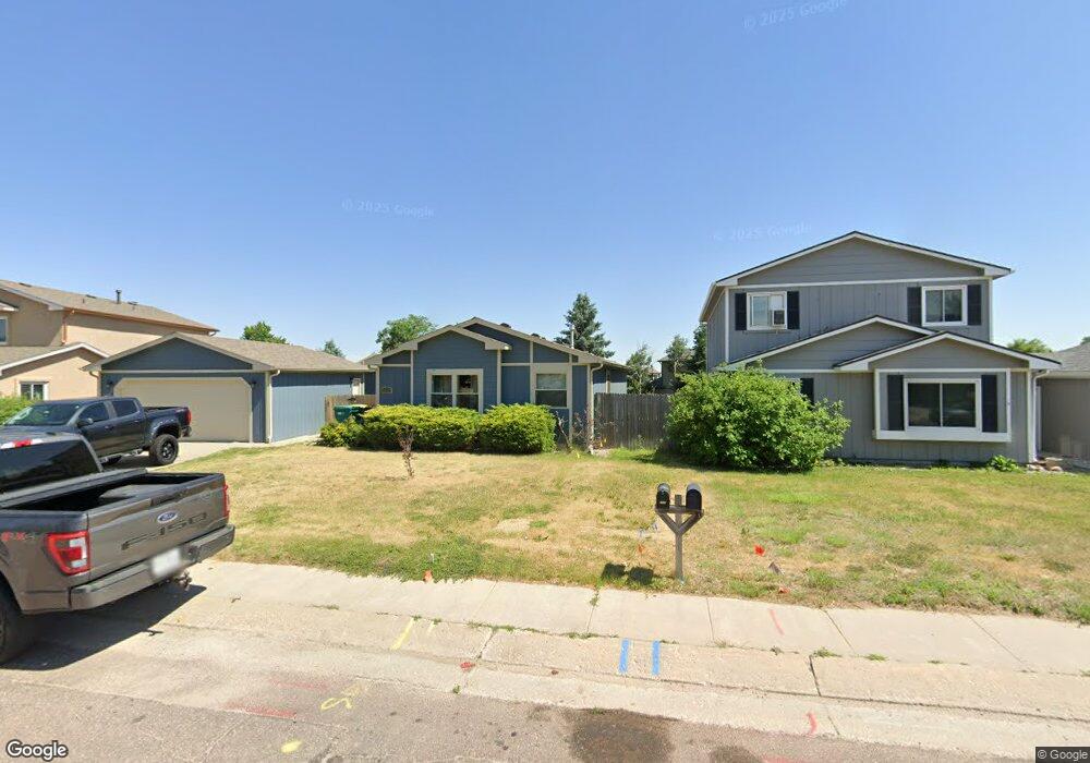
2025 Piros Dr Colorado Springs, CO 80915
Estimated Value: $355,000 - $374,000
2
Beds
1
Bath
1,252
Sq Ft
$290/Sq Ft
Est. Value
About This Home
This home is located at 2025 Piros Dr, Colorado Springs, CO 80915 and is currently estimated at $363,336, approximately $290 per square foot. 2025 Piros Dr is a home located in El Paso County with nearby schools including Evans International Elementary School, Horizon Middle School, and Sand Creek High School.
Ownership History
Date
Name
Owned For
Owner Type
Purchase Details
Closed on
Jan 12, 2017
Sold by
Mcrobbie David S
Bought by
Certano Cristina
Current Estimated Value
Home Financials for this Owner
Home Financials are based on the most recent Mortgage that was taken out on this home.
Original Mortgage
$178,703
Outstanding Balance
$149,323
Interest Rate
4.62%
Mortgage Type
FHA
Estimated Equity
$214,013
Create a Home Valuation Report for This Property
The Home Valuation Report is an in-depth analysis detailing your home's value as well as a comparison with similar homes in the area
Home Values in the Area
Average Home Value in this Area
Purchase History
| Date | Buyer | Sale Price | Title Company |
|---|---|---|---|
| Certano Cristina | $182,000 | Capital Title |
Source: Public Records
Mortgage History
| Date | Status | Borrower | Loan Amount |
|---|---|---|---|
| Open | Certano Cristina | $178,703 |
Source: Public Records
Tax History Compared to Growth
Tax History
| Year | Tax Paid | Tax Assessment Tax Assessment Total Assessment is a certain percentage of the fair market value that is determined by local assessors to be the total taxable value of land and additions on the property. | Land | Improvement |
|---|---|---|---|---|
| 2025 | $1,562 | $25,660 | -- | -- |
| 2024 | $1,459 | $25,660 | $4,230 | $21,430 |
| 2023 | $1,459 | $25,660 | $4,230 | $21,430 |
| 2022 | $1,240 | $17,690 | $3,340 | $14,350 |
| 2021 | $1,282 | $18,190 | $3,430 | $14,760 |
| 2020 | $1,053 | $14,880 | $2,860 | $12,020 |
| 2019 | $1,044 | $14,880 | $2,860 | $12,020 |
| 2018 | $782 | $10,970 | $2,850 | $8,120 |
| 2017 | $393 | $10,970 | $2,850 | $8,120 |
| 2016 | $391 | $10,910 | $2,870 | $8,040 |
| 2015 | $391 | $10,910 | $2,870 | $8,040 |
| 2014 | $355 | $9,730 | $2,870 | $6,860 |
Source: Public Records
Map
Nearby Homes
- 1971 Mineola St Unit D
- 2185 Ambleside Dr
- 6965 Palmer Park Blvd
- 2240 Lisa Dr
- 1945 Mineola St
- 1810 Winnebago Rd
- 6545 Lindal Dr
- 2360 Allyn Way
- 7225 Poteae Dr
- 1625 Piros Dr
- 7033 Sequoyah Way
- 6520 Pawnee Cir
- 6420 Mohican Dr
- 6865 Omaha Blvd
- 1840 Okeechobee Dr
- 7414 Sioux Cir N
- 2394 Washo Cir
- 7340 Grama Grass Ct
- 2406 Rocklin Dr
- 2476 Washo Cir