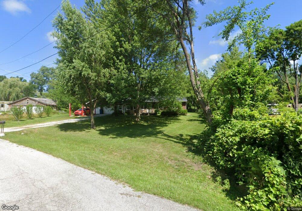
2025 Rodgers St Chesterton, IN 46304
Indiana Dunes NeighborhoodEstimated Value: $149,000 - $228,756
3
Beds
1
Bath
1,248
Sq Ft
$159/Sq Ft
Est. Value
About This Home
This home is located at 2025 Rodgers St, Chesterton, IN 46304 and is currently estimated at $198,939, approximately $159 per square foot. 2025 Rodgers St is a home located in Porter County with nearby schools including Brummitt Elementary School, Westchester Intermediate School, and Chesterton Middle School.
Ownership History
Date
Name
Owned For
Owner Type
Purchase Details
Closed on
Jun 20, 2018
Sold by
Askey Mary D
Bought by
Dunlap Mathew C
Current Estimated Value
Home Financials for this Owner
Home Financials are based on the most recent Mortgage that was taken out on this home.
Original Mortgage
$110,953
Interest Rate
4.12%
Mortgage Type
FHA
Create a Home Valuation Report for This Property
The Home Valuation Report is an in-depth analysis detailing your home's value as well as a comparison with similar homes in the area
Home Values in the Area
Average Home Value in this Area
Purchase History
| Date | Buyer | Sale Price | Title Company |
|---|---|---|---|
| Dunlap Mathew C | -- | Community Title Co |
Source: Public Records
Mortgage History
| Date | Status | Borrower | Loan Amount |
|---|---|---|---|
| Previous Owner | Dunlap Mathew C | $110,953 |
Source: Public Records
Tax History Compared to Growth
Tax History
| Year | Tax Paid | Tax Assessment Tax Assessment Total Assessment is a certain percentage of the fair market value that is determined by local assessors to be the total taxable value of land and additions on the property. | Land | Improvement |
|---|---|---|---|---|
| 2024 | $999 | $147,400 | $26,600 | $120,800 |
| 2023 | $859 | $138,500 | $24,600 | $113,900 |
| 2022 | $863 | $128,900 | $24,600 | $104,300 |
| 2021 | $812 | $114,000 | $24,600 | $89,400 |
| 2020 | $761 | $108,400 | $21,400 | $87,000 |
| 2019 | $639 | $92,300 | $21,400 | $70,900 |
| 2018 | $386 | $88,200 | $21,400 | $66,800 |
| 2017 | $406 | $91,300 | $21,400 | $69,900 |
| 2016 | $565 | $93,100 | $22,800 | $70,300 |
| 2014 | $561 | $102,500 | $25,300 | $77,200 |
| 2013 | -- | $100,300 | $26,400 | $73,900 |
Source: Public Records
Map
Nearby Homes
- 304 E Jackson St
- 1334 N Brummitt Rd
- 0 I-94 Dr
- 45 Karner Ct
- 43 Karner Blue Ct
- 1288 N Brummitt Rd
- 1325 Indian Boundary Rd
- 0 Haglund Rd Unit NRA821369
- 399 Conestoga Dr
- 2535 State St
- 1329 N 375 E
- 647 N Calumet Rd
- 133 Michael Dr
- 135 Michael Dr
- 134 Michael Dr
- 108 Indian Boundary Rd
- 1226 Dogwood Dr
- Lot 132 Michael Dr
- 1220 Dogwood Dr
- 1248 Baton Ridge Dr
- 2025 Rogers St
- 2025 Wells St
- 2015 Wells St
- 1985 Rodgers St
- 1985 Rogers St
- 1985 Wells St
- 2000 Saint Anne St
- 1965 Wells St
- 1970 Wells St
- 1000 E Us Highway 20
- 1000 E U S Hwy 20
- 1000 E Us Highway 20
- 1950 Wells St
- 1940 Rodgers St
- 1875 Hale Ave
- 1825 Hale Ave
- 1940 Wells St
- 1953 Shadrix Dr
- 1910 Rodgers St
- 1945 Wells St