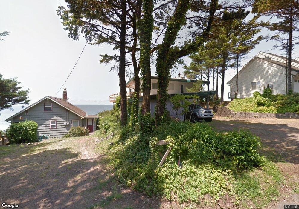
2025 SW Coast Ave Lincoln City, OR 97367
Estimated Value: $836,000 - $1,273,000
3
Beds
2
Baths
1,568
Sq Ft
$726/Sq Ft
Est. Value
About This Home
This home is located at 2025 SW Coast Ave, Lincoln City, OR 97367 and is currently estimated at $1,138,656, approximately $726 per square foot. 2025 SW Coast Ave is a home located in Lincoln County with nearby schools including Taft Elementary School, Oceanlake Elementary School, and Taft High School.
Ownership History
Date
Name
Owned For
Owner Type
Purchase Details
Closed on
Apr 30, 2014
Sold by
Dutch Ness Inc
Bought by
Dakota Pacific Inc
Current Estimated Value
Purchase Details
Closed on
Mar 13, 2009
Sold by
White Sand Property Investments Llc
Bought by
Dutch Ness Inc
Purchase Details
Closed on
May 4, 2007
Sold by
Wohl Diane H and Walker Joan K
Bought by
Balswick Barbara
Home Financials for this Owner
Home Financials are based on the most recent Mortgage that was taken out on this home.
Original Mortgage
$540,000
Interest Rate
7.12%
Mortgage Type
Purchase Money Mortgage
Create a Home Valuation Report for This Property
The Home Valuation Report is an in-depth analysis detailing your home's value as well as a comparison with similar homes in the area
Home Values in the Area
Average Home Value in this Area
Purchase History
| Date | Buyer | Sale Price | Title Company |
|---|---|---|---|
| Dakota Pacific Inc | -- | Accommodation | |
| Dutch Ness Inc | $499,000 | None Available | |
| Balswick Barbara | $675,000 | Wte |
Source: Public Records
Mortgage History
| Date | Status | Borrower | Loan Amount |
|---|---|---|---|
| Previous Owner | Balswick Barbara | $540,000 |
Source: Public Records
Tax History Compared to Growth
Tax History
| Year | Tax Paid | Tax Assessment Tax Assessment Total Assessment is a certain percentage of the fair market value that is determined by local assessors to be the total taxable value of land and additions on the property. | Land | Improvement |
|---|---|---|---|---|
| 2024 | $10,684 | $626,680 | -- | -- |
| 2023 | $10,389 | $608,430 | $0 | $0 |
| 2022 | $10,100 | $590,710 | $0 | $0 |
| 2021 | $8,014 | $477,710 | $0 | $0 |
| 2020 | $6,545 | $387,740 | $0 | $0 |
| 2019 | $6,322 | $376,450 | $0 | $0 |
| 2018 | $6,180 | $365,490 | $0 | $0 |
| 2017 | $5,915 | $354,850 | $0 | $0 |
| 2016 | $5,548 | $344,520 | $0 | $0 |
| 2015 | $5,424 | $334,490 | $0 | $0 |
| 2014 | $5,286 | $324,750 | $0 | $0 |
Source: Public Records
Map
Nearby Homes
- 1933 SW Coast Ave Unit 1
- 1815 SW Coast Ave
- 2209 SW Coast Ave
- 2223 SW Coast Ave
- 2325 SW Bard Loop
- 1966 SW Galley Ct
- 2539 SW Coral Loop
- 2518 SW Anemone Ave
- 2513 SW Dune Ave
- 2591 SW Barnacle Ave
- 2586 SW Anemone Ave
- 2273 SW Hwy 101
- 1218 SW 16th St
- 611 SW 27th Way
- 832 SW 10th Place
- 834 SW 10th Place
- 1111 SW 13th St
- 2685 SW Beach Ave
- 2672 SW Anchor Ave
- 1004 SW 10th Place
- 2035 SW Coast Ave
- 2015 SW Coast Ave
- 2103 SW Coast Ave
- 2030 SW Coast Ave
- 2020 SW Coast Ave
- 2003 SW Coast Ave
- 2040 SW Coast Ave
- 1949 SW Coast Ave Unit 2
- 2127 SW Coast Ave
- 2000 SW Coast Ave Unit TL700
- 2000 SW Coast Ave Unit TL512
- 2000 SW Coast Ave
- 2000 SW Coast Ave Unit TL501
- 2000 SW Coast Ave Unit TL508
- 2000 SW Coast Ave Unit TL701
- 2000 SW Coast Ave Unit TL509
- 2000 SW Coast Ave Unit TL511
- 2010 SW Coast Ave
- 1921 SW Coast Ave
- 2110 SW Coast Ave