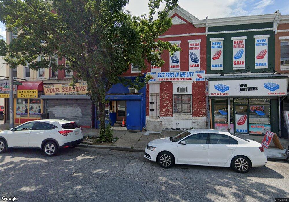
2025 W Pratt St Baltimore, MD 21223
Carrollton Ridge NeighborhoodEstimated Value: $331,953
Studio
--
Bath
2,166
Sq Ft
$153/Sq Ft
Est. Value
About This Home
This home is located at 2025 W Pratt St, Baltimore, MD 21223 and is currently estimated at $331,953, approximately $153 per square foot. 2025 W Pratt St is a home located in Baltimore City with nearby schools including Booker T. Washington Middle School, Frederick Douglass High School, and Digital Harbor High School.
Ownership History
Date
Name
Owned For
Owner Type
Purchase Details
Closed on
Mar 17, 2022
Sold by
Raymond Henry J
Bought by
Lmg 17 Llc
Current Estimated Value
Purchase Details
Closed on
May 27, 2010
Sold by
Qadir Dilshad
Bought by
Qadir Fakhir Ahmad
Purchase Details
Closed on
May 12, 2005
Sold by
Pototsky Sophie
Bought by
Qadir Dilshad and Qadir Fakhir Ahmad
Purchase Details
Closed on
Mar 7, 2000
Sold by
Potosky George
Bought by
Pototsky Sophie
Create a Home Valuation Report for This Property
The Home Valuation Report is an in-depth analysis detailing your home's value as well as a comparison with similar homes in the area
Home Values in the Area
Average Home Value in this Area
Purchase History
We collect this data history from publicly available records. To have your information removed, we recommend requesting removal directly through your county’s website.
| Date | Buyer | Sale Price | Title Company |
|---|---|---|---|
| Lmg 17 Llc | $8,625 | Morse J Scott | |
| Qadir Fakhir Ahmad | -- | -- | |
| Qadir Dilshad | $120,000 | -- | |
| Pototsky Sophie | -- | -- |
Source: Public Records
Tax History
| Year | Tax Paid | Tax Assessment Tax Assessment Total Assessment is a certain percentage of the fair market value that is determined by local assessors to be the total taxable value of land and additions on the property. | Land | Improvement |
|---|---|---|---|---|
| 2025 | $1,459 | $64,167 | -- | -- |
| 2024 | $1,459 | $62,133 | -- | -- |
| 2023 | $1,412 | $60,100 | $9,600 | $50,500 |
| 2022 | $1,352 | $57,300 | $0 | $0 |
| 2021 | $1,286 | $54,500 | $0 | $0 |
| 2020 | $1,220 | $51,700 | $9,600 | $42,100 |
| 2019 | $1,214 | $51,700 | $9,600 | $42,100 |
| 2018 | $1,220 | $51,700 | $9,600 | $42,100 |
| 2017 | $1,222 | $51,800 | $0 | $0 |
| 2016 | $1,379 | $50,100 | $0 | $0 |
| 2015 | $1,379 | $48,400 | $0 | $0 |
| 2014 | $1,379 | $46,700 | $0 | $0 |
Source: Public Records
Map
Nearby Homes
- 202 Harmison St
- 2004 Mchenry St
- 302 S Payson St
- 305 S Pulaski St
- 302 S Pulaski St
- 2023 Wilhelm St
- 2106 Wilhelm St
- 328 S Payson St
- 2112 Wilhelm St
- 320 S Pulaski St
- 322 S Pulaski St
- 2002 Ramsay St
- 1926 Wilhelm St
- 346 S Payson St
- 103 S Payson St
- 101 S Payson St
- 2121 Wilhelm St
- 1926 Lemmon St
- 1917 Lemmon St
- 216 S Smallwood St
- 204 Harmison St
- 206 Harmison St
- 200 Harmison St
- 208 Harmison St
- 210 Harmison St
- 212 Harmison St
- 205 S Pulaski St
- 203 S Pulaski St
- 201 S Pulaski St
- 209 S Pulaski St
- 2021 W Pratt St
- 211 S Pulaski St
- 205 Harmison St
- 2033 W Pratt St
- 2023 W Pratt St
- 207 Harmison St
- 203 Harmison St
- 209 Harmison St
- 201 Harmison St
- 2031 W Pratt St
Your Personal Tour Guide
Ask me questions while you tour the home.