20251 Highway 213 Oregon City, OR 97045
Gaffney Lane NeighborhoodEstimated Value: $677,000 - $874,000
3
Beds
3
Baths
2,606
Sq Ft
$284/Sq Ft
Est. Value
About This Home
This home is located at 20251 Highway 213, Oregon City, OR 97045 and is currently estimated at $741,118, approximately $284 per square foot. 20251 Highway 213 is a home located in Clackamas County with nearby schools including Beavercreek Elementary School, Tumwata Middle School, and Oregon City Senior High School.
Ownership History
Date
Name
Owned For
Owner Type
Purchase Details
Closed on
Dec 8, 2015
Sold by
Broadie Larry W and The Larry W Broadie Living Tru
Bought by
Broadie Larry D and Broadie Beth A
Current Estimated Value
Home Financials for this Owner
Home Financials are based on the most recent Mortgage that was taken out on this home.
Original Mortgage
$250,400
Interest Rate
3.71%
Mortgage Type
New Conventional
Purchase Details
Closed on
Oct 15, 2009
Sold by
Broadie Larry W
Bought by
Broadie Larry W and The Larry W Broadie Living Trust
Home Financials for this Owner
Home Financials are based on the most recent Mortgage that was taken out on this home.
Original Mortgage
$239,500
Interest Rate
4.83%
Mortgage Type
New Conventional
Create a Home Valuation Report for This Property
The Home Valuation Report is an in-depth analysis detailing your home's value as well as a comparison with similar homes in the area
Home Values in the Area
Average Home Value in this Area
Purchase History
| Date | Buyer | Sale Price | Title Company |
|---|---|---|---|
| Broadie Larry D | $313,000 | Wfg Title | |
| Broadie Larry W | -- | Accommodation | |
| Broadie Larry W | -- | First American |
Source: Public Records
Mortgage History
| Date | Status | Borrower | Loan Amount |
|---|---|---|---|
| Closed | Broadie Larry D | $250,400 | |
| Closed | Broadie Larry W | $239,500 |
Source: Public Records
Tax History Compared to Growth
Tax History
| Year | Tax Paid | Tax Assessment Tax Assessment Total Assessment is a certain percentage of the fair market value that is determined by local assessors to be the total taxable value of land and additions on the property. | Land | Improvement |
|---|---|---|---|---|
| 2025 | $4,997 | $321,473 | -- | -- |
| 2024 | $4,466 | $312,110 | -- | -- |
| 2023 | $4,466 | $303,020 | $0 | $0 |
| 2022 | $4,080 | $294,195 | $0 | $0 |
| 2021 | $3,900 | $285,626 | $0 | $0 |
| 2020 | $3,784 | $277,307 | $0 | $0 |
| 2019 | $3,694 | $269,231 | $0 | $0 |
| 2018 | $3,535 | $261,390 | $0 | $0 |
| 2017 | $3,464 | $253,777 | $0 | $0 |
| 2016 | $3,392 | $246,385 | $0 | $0 |
| 2015 | $3,308 | $239,208 | $0 | $0 |
| 2014 | $3,199 | $232,241 | $0 | $0 |
Source: Public Records
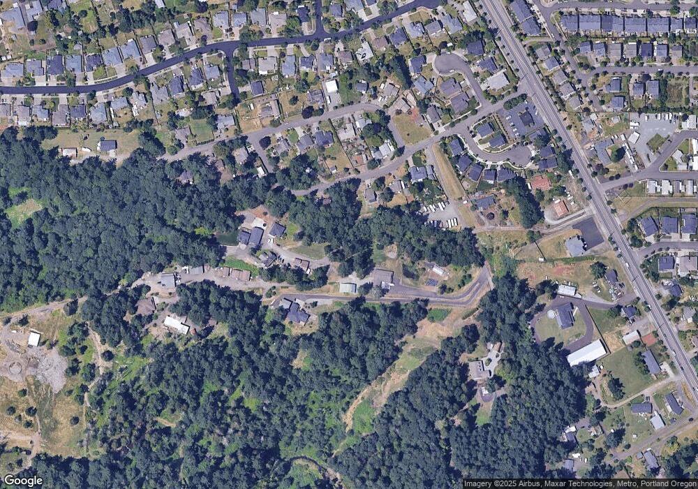
Map
Nearby Homes
- 20194 Canyon Ridge Dr
- 20415 Highway 213
- 14320 Talawa Dr
- 14040 Conway Dr
- 14164 Brittany Terrace
- 20265 Oregon 213
- 20248 Highway 213 Unit 52
- 20248 Highway 213 Unit 2
- 20103 Tad Place
- 19947 Trade Way
- 13910 Caufield Rd
- 13899 Traveler Rd
- 20155 Quinalt Dr
- 14546 S Kelmsley Dr
- 15011 Pebble Beach Dr
- 19864 Sophia Ct
- 13492 S Warnock Rd
- 19751 Falcon Dr
- 19812 Castleberry Loop
- 19865 Castleberry Loop
- 20251 Highway 213
- 14230 Canyon Ridge Dr
- 20177 Kinslie Ct
- 14210 S Canyon Ridge Dr
- 14210 Canyon Ridge Dr
- 0 Canyon Ridge Dr
- 14244 S Canyon Ridge Dr
- 20183 Kinslie Ct
- 20157 Kinslie Ct
- 20189 Kinslie Ct
- 14190 Canyon Ridge Dr
- 14222 S Canyonridge Cr
- 14222 Canyon Ridge Cir
- 20166 Kinslie Ct
- 14235 Canyon Ridge Cir
- 20158 Kinslie Ct
- 14265 Canyon Ridge Cir
- 14182 Canyon Ridge Cir
- 14270 Canyon Ridge Dr
- 20247 Highway 213