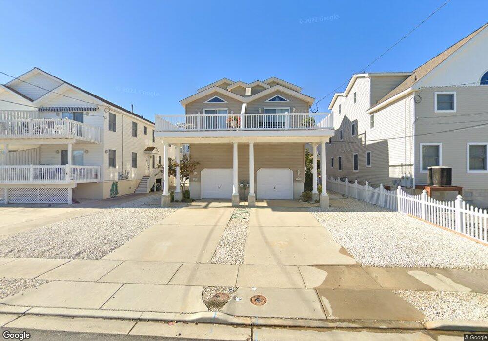
2026 6th Ave Avalon, NJ 08202
Estimated Value: $1,743,550 - $1,904,000
Studio
--
Bath
2,048
Sq Ft
$887/Sq Ft
Est. Value
About This Home
This home is located at 2026 6th Ave, Avalon, NJ 08202 and is currently estimated at $1,815,638, approximately $886 per square foot. 2026 6th Ave is a home located in Cape May County with nearby schools including Avalon Elementary School.
Ownership History
Date
Name
Owned For
Owner Type
Purchase Details
Closed on
Jul 31, 2025
Sold by
Burrows Thomas N and Cocco Marie E
Bought by
Gunselman Jeffrey and Pietrangelo Merri A
Current Estimated Value
Home Financials for this Owner
Home Financials are based on the most recent Mortgage that was taken out on this home.
Original Mortgage
$1,000,000
Outstanding Balance
$999,004
Interest Rate
6%
Mortgage Type
New Conventional
Estimated Equity
$816,634
Purchase Details
Closed on
Sep 18, 2015
Sold by
Schuch Richard W and Dao Loc N
Bought by
Burrows Thomas N and Cocco Marie E
Home Financials for this Owner
Home Financials are based on the most recent Mortgage that was taken out on this home.
Original Mortgage
$560,000
Interest Rate
3.5%
Mortgage Type
Adjustable Rate Mortgage/ARM
Purchase Details
Closed on
Feb 9, 2009
Sold by
Schuch Richard W
Bought by
Schuch Richard W and Dao Loc N
Create a Home Valuation Report for This Property
The Home Valuation Report is an in-depth analysis detailing your home's value as well as a comparison with similar homes in the area
Home Values in the Area
Average Home Value in this Area
Purchase History
| Date | Buyer | Sale Price | Title Company |
|---|---|---|---|
| Gunselman Jeffrey | $1,850,000 | Seaboard Title | |
| Gunselman Jeffrey | $1,850,000 | Seaboard Title | |
| Burrows Thomas N | $700,000 | Shore Title Agency Inc | |
| Schuch Richard W | $350,000 | None Available |
Source: Public Records
Mortgage History
| Date | Status | Borrower | Loan Amount |
|---|---|---|---|
| Open | Gunselman Jeffrey | $1,000,000 | |
| Closed | Gunselman Jeffrey | $1,000,000 | |
| Previous Owner | Burrows Thomas N | $560,000 |
Source: Public Records
Tax History
| Year | Tax Paid | Tax Assessment Tax Assessment Total Assessment is a certain percentage of the fair market value that is determined by local assessors to be the total taxable value of land and additions on the property. | Land | Improvement |
|---|---|---|---|---|
| 2025 | $4,549 | $740,800 | $450,000 | $290,800 |
| 2024 | $4,549 | $740,800 | $450,000 | $290,800 |
Source: Public Records
Map
Nearby Homes
- 415 20th St
- 447 24th St
- 890 21st St
- 389 22nd St
- 386 24th St
- 386 24th St Unit Upper
- 2425 Harbor Ave Unit 2425
- 1668 Ocean Dr Unit B1
- 211 23rd St
- 285 14th St Unit 285
- 285 14th St
- 178 19th St
- 212 25th St Unit End Unit
- 2023 Dune Dr Unit R6
- 174 23rd St
- 2934 Ocean Dr Unit North
- 161 24th St
- 118 22nd St
- 1838 First Ave
- 179 27th St
- 2026 6th Ave Unit South
- 2026 6th Ave
- 2026 6th Ave Unit South Unit
- 2036 6th Ave
- 2036 6th Ave
- 600 Sunrise Dr Unit EAST
- 602 Sunrise Dr
- 2066 6th Ave Unit 2066
- 612 Sunrise Dr
- 614 Sunrise Dr
- 2090 6th Ave
- 2086 6th Ave Unit 2086
- 623 21st St
- 623 21st St Unit East
- 623 21st St Unit West
- 624 Sunrise Dr
- 625 21st St
- 615 Sunrise Dr
- 2049 6th Ave
- 633 21st St Unit 633
Your Personal Tour Guide
Ask me questions while you tour the home.