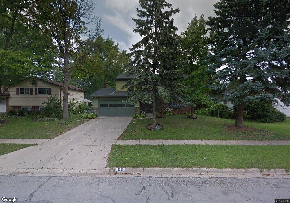
2026 Brittany Rd Columbus, OH 43229
Forest Park East NeighborhoodEstimated Value: $294,000 - $342,000
4
Beds
2
Baths
1,900
Sq Ft
$163/Sq Ft
Est. Value
About This Home
This home is located at 2026 Brittany Rd, Columbus, OH 43229 and is currently estimated at $309,286, approximately $162 per square foot. 2026 Brittany Rd is a home located in Franklin County with nearby schools including Northtowne Elementary School, Woodward Park Middle School, and Northland High School.
Ownership History
Date
Name
Owned For
Owner Type
Purchase Details
Closed on
Jul 1, 2008
Sold by
Musgrave Rozella J and Musgrave Trust
Bought by
Malone Teresa A
Current Estimated Value
Home Financials for this Owner
Home Financials are based on the most recent Mortgage that was taken out on this home.
Original Mortgage
$106,625
Outstanding Balance
$67,206
Interest Rate
5.96%
Mortgage Type
FHA
Estimated Equity
$242,080
Purchase Details
Closed on
May 1, 1997
Sold by
Musgrave Wallace W and Musgrave Rozella J
Bought by
Musgrave Wallace W and Musgrave Rozella J
Create a Home Valuation Report for This Property
The Home Valuation Report is an in-depth analysis detailing your home's value as well as a comparison with similar homes in the area
Home Values in the Area
Average Home Value in this Area
Purchase History
| Date | Buyer | Sale Price | Title Company |
|---|---|---|---|
| Malone Teresa A | -- | Talon Group | |
| Musgrave Wallace W | -- | -- |
Source: Public Records
Mortgage History
| Date | Status | Borrower | Loan Amount |
|---|---|---|---|
| Open | Malone Teresa A | $106,625 |
Source: Public Records
Tax History
| Year | Tax Paid | Tax Assessment Tax Assessment Total Assessment is a certain percentage of the fair market value that is determined by local assessors to be the total taxable value of land and additions on the property. | Land | Improvement |
|---|---|---|---|---|
| 2025 | $3,853 | $85,860 | $20,370 | $65,490 |
| 2024 | $3,853 | $85,860 | $20,370 | $65,490 |
| 2023 | $3,804 | $85,855 | $20,370 | $65,485 |
| 2022 | $2,779 | $53,590 | $11,380 | $42,210 |
| 2021 | $2,784 | $53,590 | $11,380 | $42,210 |
| 2020 | $2,907 | $53,590 | $11,380 | $42,210 |
| 2019 | $2,627 | $42,350 | $9,100 | $33,250 |
| 2018 | $2,482 | $42,350 | $9,100 | $33,250 |
| 2017 | $2,560 | $42,350 | $9,100 | $33,250 |
| 2016 | $2,553 | $38,540 | $8,540 | $30,000 |
| 2015 | $2,318 | $38,540 | $8,540 | $30,000 |
| 2014 | $2,323 | $38,540 | $8,540 | $30,000 |
| 2013 | $1,206 | $40,565 | $8,995 | $31,570 |
Source: Public Records
Map
Nearby Homes
- 4885 Northtowne Blvd
- 4735 Heatherton Dr
- 1905 Denise Dr
- 4714 Ascot Dr
- 4979 Lyle Rd
- 4857 Tamarack Blvd
- 2236 Strimple Ave
- 4852 Snowbird Cir Unit 13B
- 2251 Tuliptree Ave
- 2259 Tuliptree Ave
- 1685 Norma Rd
- 4923 Karl Rd Unit 4925
- 5004 Julie Place
- 5010 Julie Place
- 0 Chester Rd
- 1485 Norma Rd
- 0 Abington Rd Unit 225045775
- 0 Abington Rd Unit 224031704
- 0 Abington Rd Unit 224031738
- 0 Abington Rd Unit 224031699
- 2018 Brittany Rd
- 4885 Brittany Ct E
- 4897 Brittany Ct E
- 4904 Brittany Ct W
- 4907 Brittany Ct E
- 4912 Brittany Ct W
- 2025 Brittany Rd
- 4884 Brittany Ct E
- 2041 Brittany Rd
- 2017 Brittany Rd
- 4915 Brittany Ct E
- 2049 Brittany Rd
- 4920 Brittany Ct W
- 4896 Brittany Ct E
- 2009 Brittany Rd
- 4893 Brittany Ct W
- 2066 Brittany Rd
- 2057 Brittany Rd
- 4906 Brittany Ct E
- 2001 Brittany Rd
Your Personal Tour Guide
Ask me questions while you tour the home.