2026 E 102nd Cir Thornton, CO 80229
Quimby NeighborhoodEstimated Value: $332,762 - $363,000
2
Beds
3
Baths
1,104
Sq Ft
$320/Sq Ft
Est. Value
About This Home
This home is located at 2026 E 102nd Cir, Thornton, CO 80229 and is currently estimated at $352,941, approximately $319 per square foot. 2026 E 102nd Cir is a home located in Adams County with nearby schools including Leroy Drive Elementary School, Thornton Middle School, and Thornton High School.
Ownership History
Date
Name
Owned For
Owner Type
Purchase Details
Closed on
Feb 8, 2018
Sold by
Buerger Matthew G and Buerger Deanna L
Bought by
Green Leaf Properties Llc
Current Estimated Value
Purchase Details
Closed on
Jan 21, 1999
Sold by
Kaufman & Broad Of Colorado Inc
Bought by
Locander Deanna L
Home Financials for this Owner
Home Financials are based on the most recent Mortgage that was taken out on this home.
Original Mortgage
$78,150
Interest Rate
6.66%
Create a Home Valuation Report for This Property
The Home Valuation Report is an in-depth analysis detailing your home's value as well as a comparison with similar homes in the area
Home Values in the Area
Average Home Value in this Area
Purchase History
| Date | Buyer | Sale Price | Title Company |
|---|---|---|---|
| Green Leaf Properties Llc | -- | Fidelity National Title | |
| Buerger Matthew G | -- | Fidelity National Title | |
| Locander Deanna L | $97,715 | -- |
Source: Public Records
Mortgage History
| Date | Status | Borrower | Loan Amount |
|---|---|---|---|
| Previous Owner | Locander Deanna L | $78,150 |
Source: Public Records
Tax History
| Year | Tax Paid | Tax Assessment Tax Assessment Total Assessment is a certain percentage of the fair market value that is determined by local assessors to be the total taxable value of land and additions on the property. | Land | Improvement |
|---|---|---|---|---|
| 2025 | $2,010 | $24,080 | $5,580 | $18,500 |
| 2024 | $2,010 | $22,130 | $5,130 | $17,000 |
| 2023 | $1,990 | $23,140 | $4,330 | $18,810 |
| 2022 | $2,052 | $18,630 | $3,750 | $14,880 |
| 2021 | $2,121 | $18,630 | $3,750 | $14,880 |
| 2020 | $2,073 | $18,580 | $3,860 | $14,720 |
| 2019 | $2,077 | $18,580 | $3,860 | $14,720 |
| 2018 | $1,949 | $16,940 | $1,440 | $15,500 |
| 2017 | $1,772 | $16,940 | $1,440 | $15,500 |
| 2016 | $1,344 | $12,510 | $1,590 | $10,920 |
| 2015 | $1,343 | $12,510 | $1,590 | $10,920 |
| 2014 | -- | $8,200 | $1,590 | $6,610 |
Source: Public Records
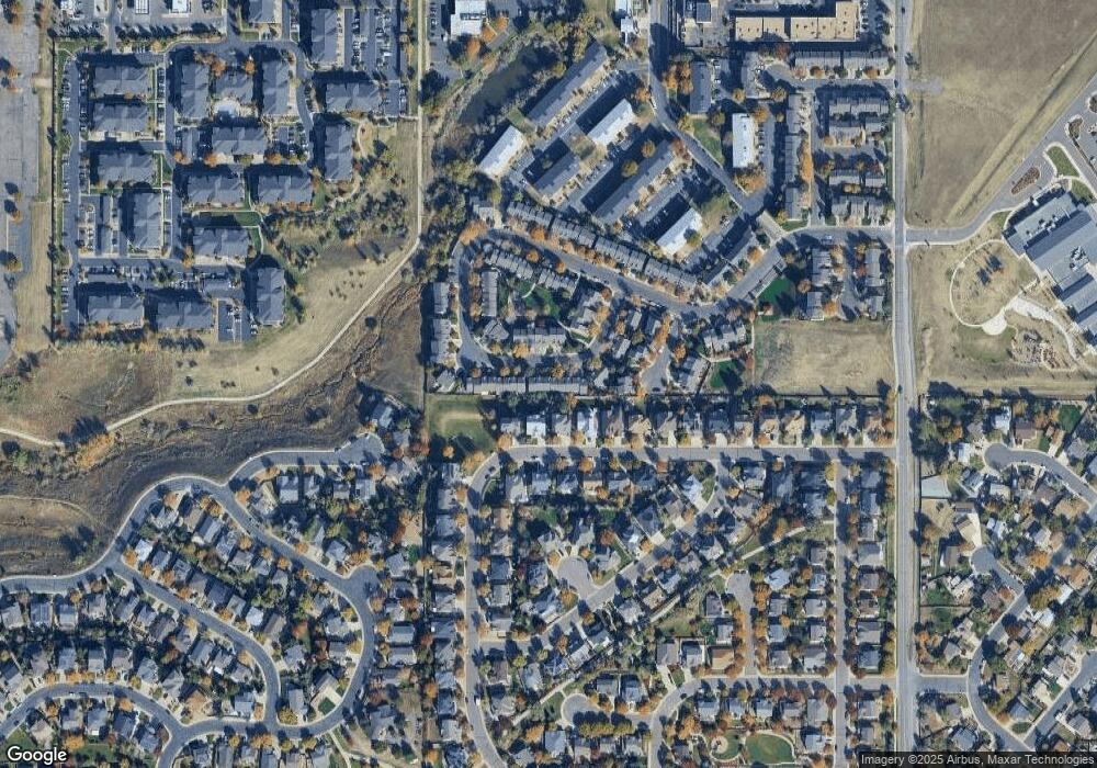
Map
Nearby Homes
- 10099 Williams St
- 2285 E 103rd Place
- 2244 E 101st Ave
- 1756 E 101st Ave
- 9827 Race St
- 2631 E 102nd Place
- 2632 E 103rd Ave
- 2651 E 102nd Place
- 2652 E 103rd Ave
- 2702 E 103rd Ave
- 2690 E 102nd Place
- 2742 E 103rd Ave
- 1838 E 98th Ave
- 9755 High St
- 2862 E 103rd Ave
- 10519 Lafayette St
- 1501 E 98th Ave
- 2829 E 103rd Dr
- 10394 Detroit St
- 2839 E 103rd Dr
- 2028 E 102nd Cir
- 2022 E 102nd Cir
- 2030 E 102nd Cir
- 2018 E 102nd Cir
- 2018 E 102nd Cir
- 2032 E 102nd Cir
- 2016 E 102nd Cir
- 2034 E 102nd Cir
- 2012 E 102nd Cir
- 2036 E 102nd Cir
- 2057 E 102nd Ave
- 2067 E 102nd Ave
- 2008 E 102nd Cir
- 2003 E 102nd Cir
- 2013 E 102nd Cir
- 2017 E 102nd Cir
- 2006 E 102nd Cir
- 1993 E 102nd Cir
- 2038 E 102nd Cir
- 0 Irma Dr
Your Personal Tour Guide
Ask me questions while you tour the home.