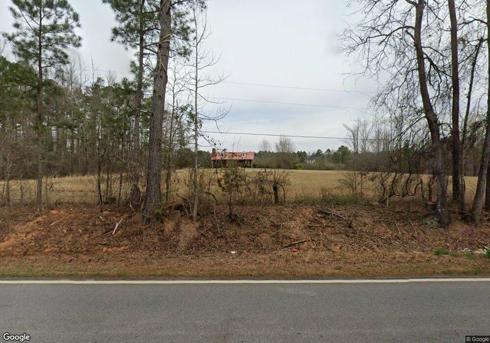
2026 Gordon Rd Moreland, GA 30259
Estimated Value: $315,026 - $503,000
3
Beds
2
Baths
1,392
Sq Ft
$278/Sq Ft
Est. Value
About This Home
This home is located at 2026 Gordon Rd, Moreland, GA 30259 and is currently estimated at $387,342, approximately $278 per square foot. 2026 Gordon Rd is a home located in Coweta County with nearby schools including Moreland Elementary School, Smokey Road Middle School, and Newnan High School.
Ownership History
Date
Name
Owned For
Owner Type
Purchase Details
Closed on
Jul 31, 2015
Sold by
Green Forest Construction Llc
Bought by
Bay Paul Edward
Current Estimated Value
Purchase Details
Closed on
Jan 22, 2015
Sold by
Hay Paul Edward
Bought by
Green Forest Construction Llc
Purchase Details
Closed on
Dec 19, 2014
Sold by
Hay John Francis
Bought by
Hay Paul Edward
Purchase Details
Closed on
Sep 12, 2000
Sold by
Hay Paul P
Bought by
Hay John F
Create a Home Valuation Report for This Property
The Home Valuation Report is an in-depth analysis detailing your home's value as well as a comparison with similar homes in the area
Home Values in the Area
Average Home Value in this Area
Purchase History
| Date | Buyer | Sale Price | Title Company |
|---|---|---|---|
| Bay Paul Edward | -- | -- | |
| Green Forest Construction Llc | -- | -- | |
| Hay Paul Edward | -- | -- | |
| Hay John F | -- | -- |
Source: Public Records
Tax History Compared to Growth
Tax History
| Year | Tax Paid | Tax Assessment Tax Assessment Total Assessment is a certain percentage of the fair market value that is determined by local assessors to be the total taxable value of land and additions on the property. | Land | Improvement |
|---|---|---|---|---|
| 2025 | $776 | $99,791 | $29,512 | $70,278 |
| 2024 | $715 | $101,336 | $29,512 | $71,824 |
| 2023 | $715 | $91,634 | $27,617 | $64,016 |
| 2022 | $642 | $84,081 | $27,075 | $57,006 |
| 2021 | $589 | $73,802 | $25,786 | $48,016 |
| 2020 | $589 | $73,802 | $25,786 | $48,016 |
| 2019 | $521 | $58,520 | $21,652 | $36,868 |
| 2018 | $525 | $58,520 | $21,652 | $36,868 |
| 2017 | $525 | $58,520 | $21,652 | $36,868 |
| 2016 | $508 | $58,520 | $21,652 | $36,868 |
| 2015 | $825 | $58,520 | $21,652 | $36,868 |
| 2014 | $810 | $58,520 | $21,652 | $36,868 |
Source: Public Records
Map
Nearby Homes
- 92 Gordon Oaks Way
- 2725 Gordon Rd
- 215 Grey Fairs Ave
- 2 Whites Pond Rd
- 143 Ryeland Dr
- 59 Akers Lake Dr
- 98 Ryeland Dr
- 136 Ryeland Dr
- 1234 Haynie Rd
- 1495 Martin Mill Rd
- 0 Highway 54 Unit 10561313
- 0 Highway 54 Unit 7613124
- 2963 Gordon Rd
- 465 Little Rd
- 152 Bear Creek Rd
- 2784 Martin Mill Rd
- 4083 Highway 54
- 30 Linton Estates Ave
- 0 Cannon Rd Unit 7627017
- 0 Cannon Rd Unit 10566028
- 2007 Gordon Rd
- 2093 Gordon Rd
- 1961 Gordon Rd
- 2120 Gordon Rd
- 2158 Gordon Rd
- 112 Gordon Oaks Way
- 124 Gordon Oaks Way
- 134 Gordon Oaks Way
- 74 Gordon Oaks Way
- 1922 Gordon Rd
- 70 Gordon Oaks Way Unit 3
- 2121 Gordon Rd
- 2166 Gordon Rd
- 56 Gordon Oaks Way
- Lot 5 Gordon Oaks Way Unit 5
- Lot 5 Gordon Oaks Way
- LOT 26 Gordon Oaks Way
- LOT 9 Gordon Oaks Way
- LOT 1 Gordon Oaks Way
- 158 Gordon Oaks Way