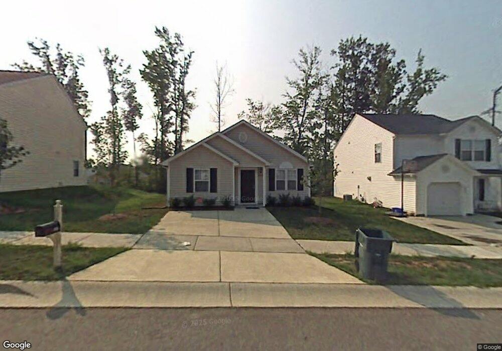
2026 Lime St Durham, NC 27704
Northeast Durham NeighborhoodEstimated Value: $271,000 - $284,000
About This Home
This home is located at 2026 Lime St, Durham, NC 27704 and is currently estimated at $276,527, approximately $245 per square foot. 2026 Lime St is a home located in Durham County with nearby schools including Merrick-Moore Elementary School, John W Neal Middle School, and Southern School of Energy & Sustainability.
Ownership History
We collect this data history from publicly available records. To have your information removed, we recommend requesting removal directly through your county’s website.
Purchase Details
Home Financials for this Owner
Home Financials are based on the most recent Mortgage that was taken out on this home.Purchase Details
Home Values in the Area
Average Home Value in this Area
Purchase History
We collect this data history from publicly available records. To have your information removed, we recommend requesting removal directly through your county’s website.
| Date | Buyer | Sale Price | Title Company |
|---|---|---|---|
| $111,500 | -- | ||
| $141,000 | -- |
Mortgage History
We collect this data history from publicly available records. To have your information removed, we recommend requesting removal directly through your county’s website.
| Date | Status | Borrower | Loan Amount |
|---|---|---|---|
| Open | $100,000 | ||
| Closed | $24,000 | ||
| Closed | $89,120 |
Tax History
We collect this data history from publicly available records. To have your information removed, we recommend requesting removal directly through your county’s website.
| Year | Tax Paid | Tax Assessment Tax Assessment Total Assessment is a certain percentage of the fair market value that is determined by local assessors to be the total taxable value of land and additions on the property. | Land | Improvement |
|---|---|---|---|---|
| 2025 | $2,519 | $254,127 | $70,625 | $183,502 |
| 2024 | $1,714 | $122,904 | $22,500 | $100,404 |
| 2023 | $1,610 | $122,904 | $22,500 | $100,404 |
| 2022 | $1,573 | $122,904 | $22,500 | $100,404 |
| 2021 | $1,566 | $122,904 | $22,500 | $100,404 |
| 2020 | $1,529 | $122,904 | $22,500 | $100,404 |
| 2019 | $1,529 | $122,904 | $22,500 | $100,404 |
| 2018 | $1,424 | $104,953 | $25,312 | $79,641 |
| 2017 | $1,413 | $104,953 | $25,312 | $79,641 |
| 2016 | $1,366 | $104,953 | $25,312 | $79,641 |
| 2015 | $1,461 | $105,565 | $24,200 | $81,365 |
| 2014 | $1,461 | $105,565 | $24,200 | $81,365 |
Map
- 2027 Buffalo Way
- 1615 Great Bend Dr
- 1905 Spring Creek Dr
- 1732 Great Bend Dr
- 2006 Great Bend Dr
- 1917 Milan St
- 5 Flatford Ct
- 2234 Crestwood Ridge Dr
- 1911 Watson Rd
- 2040 Feather Rock Dr
- 2021 Bull City Bend Unit 392
- 2206 E Club Blvd
- 2100 Feather Rock Dr
- 1041 Ringhill Bluff Dr
- 2912 Constance Ave
- 2112 Crestwood Ridge Dr
- 2505 Winburn Ave
- 2212 Feather Rock Dr
- 4 Sue Ann Ct
- 2320 Winburn Ave
Ask me questions while you tour the home.