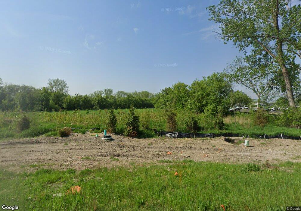
2026 Port Sheldon St Jenison, MI 49428
Estimated Value: $190,007 - $352,000
--
Bed
--
Bath
--
Sq Ft
13.05
Acres
About This Home
This home is located at 2026 Port Sheldon St, Jenison, MI 49428 and is currently estimated at $289,336. 2026 Port Sheldon St is a home located in Ottawa County with nearby schools including Bursley School, Jenison Junior High School, and Jenison High School.
Ownership History
Date
Name
Owned For
Owner Type
Purchase Details
Closed on
Oct 8, 2025
Sold by
2026 Port Sheldon Llc
Bought by
2026 Port Sheldon Llc
Current Estimated Value
Purchase Details
Closed on
Sep 25, 2025
Sold by
2026 Port Sheldon Llc
Bought by
Gulker Family Holdings Llc
Purchase Details
Closed on
Sep 5, 2025
Sold by
2026 Port Sheldon Llc
Bought by
2026 Port Sheldon Commercial Condominiums
Purchase Details
Closed on
Jun 22, 2021
Sold by
Arthur Kiekover Trust
Bought by
2026 Port Sheldon Llc
Create a Home Valuation Report for This Property
The Home Valuation Report is an in-depth analysis detailing your home's value as well as a comparison with similar homes in the area
Home Values in the Area
Average Home Value in this Area
Purchase History
| Date | Buyer | Sale Price | Title Company |
|---|---|---|---|
| 2026 Port Sheldon Llc | -- | None Listed On Document | |
| Gulker Family Holdings Llc | $352,954 | River Valley Title | |
| Jason M Crump Revocable Trust | $342,500 | River Valley Title | |
| Mangrove Caledonia Re Llc | -- | River Valley Title | |
| 2026 Port Sheldon Commercial Condominiums | -- | None Listed On Document | |
| 2026 Port Sheldon Llc | $150,000 | River Valley Title |
Source: Public Records
Tax History Compared to Growth
Tax History
| Year | Tax Paid | Tax Assessment Tax Assessment Total Assessment is a certain percentage of the fair market value that is determined by local assessors to be the total taxable value of land and additions on the property. | Land | Improvement |
|---|---|---|---|---|
| 2025 | $4,286 | $104,600 | $0 | $0 |
| 2024 | $3,939 | $92,700 | $0 | $0 |
| 2023 | $3,771 | $89,500 | $0 | $0 |
| 2022 | $3,908 | $84,400 | $0 | $0 |
| 2021 | $1,188 | $78,100 | $0 | $0 |
| 2020 | $1,177 | $75,000 | $0 | $0 |
| 2019 | $1,182 | $75,000 | $0 | $0 |
| 2018 | $1,123 | $62,800 | $62,800 | $0 |
| 2017 | $1,100 | $62,800 | $0 | $0 |
| 2016 | $1,098 | $24,300 | $0 | $0 |
| 2015 | $637 | $24,300 | $0 | $0 |
| 2014 | $637 | $24,300 | $0 | $0 |
Source: Public Records
Map
Nearby Homes
- 6129 W Bay Ct
- 6293 Eastridge Dr
- 6363 Eastridge Ct
- 5833 Nelson Dr
- 1520 Winifred St
- 0 V/L Edson (Parcel B) Dr
- 1519 Eagle Shore Ct Unit Lot 33
- 1481 Eagle Shore Ct
- 1496 Eagle Shore Ct Unit 13
- 1481 Eagle Shore Ct Unit 39
- 6340 Summer Dr
- 1433 Winifred St
- 1451 Eagle Shore Ct
- 2101 Rosewood St
- 2323 Rosewood St
- 2072 Oak Hollow Dr
- 2339 Van Buren St
- 6905 Maple Ave
- 6724 28th Ave
- 1355 Bent Tree Dr Unit 12
- 2110 Chicago Dr
- 2120 Chicago Dr Unit 62
- 2120 Chicago Dr
- 2065 Port Sheldon St
- 1917 Edson Dr
- 1909 Edson Dr
- 1925 Edson Dr
- 1933 Edson Dr
- 1901 Edson Dr
- 1901 Edson Dr
- 1941 Edson Dr
- 1895 Edson Dr
- 1991 Edson Dr
- 1955 Edson Dr
- 1955 Edson Dr
- 1963 Edson Dr
- 1887 Edson Dr
- 1971 Edson Dr
- 1910 Edson Dr
- 1881 Edson Dr