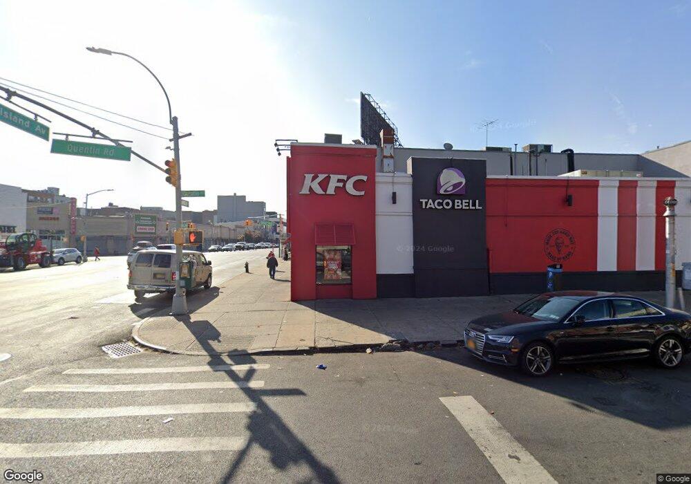
2026 Quentin Rd Brooklyn, NY 11229
Homecrest NeighborhoodEstimated Value: $3,430,389
Studio
--
Bath
3,280
Sq Ft
$1,046/Sq Ft
Est. Value
About This Home
This home is located at 2026 Quentin Rd, Brooklyn, NY 11229 and is currently estimated at $3,430,389, approximately $1,045 per square foot. 2026 Quentin Rd is a home located in Kings County with nearby schools including P.S. 238 - Anne Sullivan, James Madison High School, and Yeshiva Ateret Torah.
Ownership History
Date
Name
Owned For
Owner Type
Purchase Details
Closed on
Oct 4, 2013
Sold by
Zeller Ivy and Zeller Joanne
Bought by
2026 Coney Island Llc
Current Estimated Value
Home Financials for this Owner
Home Financials are based on the most recent Mortgage that was taken out on this home.
Original Mortgage
$1,425,000
Outstanding Balance
$1,074,096
Interest Rate
4.58%
Mortgage Type
Commercial
Estimated Equity
$2,356,293
Purchase Details
Closed on
Jul 17, 2013
Sold by
Estate Of Shirah Kober Zeller Mitchell
Bought by
Zeller Ivy and Zeller Joanne
Create a Home Valuation Report for This Property
The Home Valuation Report is an in-depth analysis detailing your home's value as well as a comparison with similar homes in the area
Home Values in the Area
Average Home Value in this Area
Purchase History
| Date | Buyer | Sale Price | Title Company |
|---|---|---|---|
| 2026 Coney Island Llc | $2,000,000 | -- | |
| Zeller Ivy | -- | -- |
Source: Public Records
Mortgage History
| Date | Status | Borrower | Loan Amount |
|---|---|---|---|
| Open | 2026 Coney Island Llc | $1,425,000 |
Source: Public Records
Tax History
| Year | Tax Paid | Tax Assessment Tax Assessment Total Assessment is a certain percentage of the fair market value that is determined by local assessors to be the total taxable value of land and additions on the property. | Land | Improvement |
|---|---|---|---|---|
| 2025 | $61,487 | $621,450 | $223,650 | $397,800 |
| 2024 | $61,487 | $580,500 | $223,650 | $356,850 |
| 2023 | $63,046 | $592,200 | $223,650 | $368,550 |
| 2022 | $67,853 | $634,950 | $223,650 | $411,300 |
| 2021 | $57,411 | $536,850 | $223,650 | $313,200 |
| 2020 | $35,732 | $666,000 | $223,650 | $442,350 |
| 2019 | $65,525 | $646,200 | $223,650 | $422,550 |
| 2018 | $62,620 | $630,900 | $223,650 | $407,250 |
| 2017 | $59,763 | $655,650 | $223,650 | $432,000 |
| 2016 | $57,138 | $650,250 | $223,650 | $426,600 |
| 2015 | $22,911 | $568,350 | $223,650 | $344,700 |
| 2014 | $22,911 | $508,050 | $223,650 | $284,400 |
Source: Public Records
Map
Nearby Homes
- 1770 E 12th St
- 1753 E 12th St Unit 5D
- 1740 E 13th St
- 1665 E 8th St
- 1620 E 12th St
- 1720 E 14th St Unit 4A
- 1730 E 14th St Unit 6J
- 1730 E 14th St Unit 4K
- 1769 E 13th St Unit 2B
- 1769 E 13th St Unit 4B
- 1625 E 13th St Unit 4G
- 1727 E 14th St
- 1770 E 14th St Unit 5G
- 1734 E 7th St
- 1580 E 13 St Unit 1D
- 1580 E 13th St Unit 1D
- 1580 E 13th St Unit 4B
- 1580 E 13th St Unit 6J
- 1575 E 8th St
- 1840 E 13th St Unit 6T
- 943-961 Kings Hwy
- 1002 Quentin Rd
- 943 Kings Hwy
- 2020 Coney Island Ave
- 1101 Kings Hwy
- 929-931 Kings Hwy
- 1005 Quentin Rd
- 1103 Kings Hwy
- 1103 Kings Hwy Unit B4
- 1105 Kings Hwy
- 1001 Quentin Rd
- 1109 Kings Hwy
- 946 Kings Hwy
- 1101-11-11 Quentin Rd
- 1111 Kings Hwy
- 918-926 Quentin Rd
- 2012 Coney Island Ave
- 1113 Kings Hwy
- 2006 Coney Island Ave
- 2010 Coney Island Ave
Your Personal Tour Guide
Ask me questions while you tour the home.