2026 S Birdie Cir Unit 38 Tucson, AZ 85710
Rolling Hills NeighborhoodEstimated Value: $242,000 - $247,000
--
Bed
2
Baths
1,354
Sq Ft
$181/Sq Ft
Est. Value
About This Home
This home is located at 2026 S Birdie Cir Unit 38, Tucson, AZ 85710 and is currently estimated at $244,670, approximately $180 per square foot. 2026 S Birdie Cir Unit 38 is a home located in Pima County with nearby schools including Marshall Elementary School, Secrist Middle School, and Santa Rita High School.
Ownership History
Date
Name
Owned For
Owner Type
Purchase Details
Closed on
Jul 7, 2023
Sold by
Stanley Clarence H
Bought by
Cal Stanley And Theresa C Stanley Living Trus and Stanley
Current Estimated Value
Purchase Details
Closed on
Feb 14, 2002
Sold by
Peterson Howard S and Peterson Charlotte C
Bought by
Stanley Clarence H and Stanley Theresa C
Home Financials for this Owner
Home Financials are based on the most recent Mortgage that was taken out on this home.
Original Mortgage
$95,370
Interest Rate
7.13%
Mortgage Type
VA
Purchase Details
Closed on
May 13, 1998
Sold by
Mahn George W and Mahn Barbara S
Bought by
Peterson Howard S and Peterson Charlotte C
Create a Home Valuation Report for This Property
The Home Valuation Report is an in-depth analysis detailing your home's value as well as a comparison with similar homes in the area
Home Values in the Area
Average Home Value in this Area
Purchase History
| Date | Buyer | Sale Price | Title Company |
|---|---|---|---|
| Cal Stanley And Theresa C Stanley Living Trus | -- | None Listed On Document | |
| Stanley Clarence H | $93,500 | -- | |
| Peterson Howard S | $78,000 | -- |
Source: Public Records
Mortgage History
| Date | Status | Borrower | Loan Amount |
|---|---|---|---|
| Previous Owner | Stanley Clarence H | $95,370 |
Source: Public Records
Tax History Compared to Growth
Tax History
| Year | Tax Paid | Tax Assessment Tax Assessment Total Assessment is a certain percentage of the fair market value that is determined by local assessors to be the total taxable value of land and additions on the property. | Land | Improvement |
|---|---|---|---|---|
| 2025 | $1,338 | $11,973 | -- | -- |
| 2024 | $1,338 | $11,403 | -- | -- |
| 2023 | $1,263 | $10,860 | $0 | $0 |
| 2022 | $1,263 | $10,342 | $0 | $0 |
| 2021 | $1,268 | $9,381 | $0 | $0 |
| 2020 | $1,217 | $9,381 | $0 | $0 |
| 2019 | $1,182 | $10,620 | $0 | $0 |
| 2018 | $1,127 | $8,104 | $0 | $0 |
| 2017 | $1,076 | $8,104 | $0 | $0 |
| 2016 | $1,049 | $7,718 | $0 | $0 |
| 2015 | $1,003 | $7,350 | $0 | $0 |
Source: Public Records
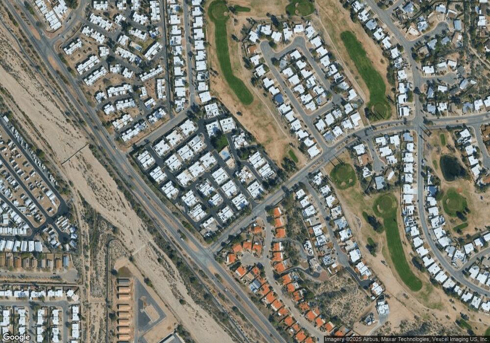
Map
Nearby Homes
- 2240 S Quail Hollow Dr
- 2223 S Quail Hollow Dr Unit 71
- 8338 E Placita Prado
- 8537 E Pine Valley Dr
- 8341 E Via Arboleda
- 2033 S Augusta Place
- 1752 S Avenue Sosegado
- 3727 S Sarnoff Dr
- 1621 S Camino Seco
- 2515 S Perillo Dr
- 2611 S Sarnoff Dr
- 8191 E Cricket Song Trail
- 1717 S Burning Tree Ave
- 2121 S Pantano Rd Unit 100
- 2121 S Pantano Rd Unit 317
- 2121 S Pantano Rd Unit 159
- 2121 S Pantano Rd Unit 172
- 1510 S Olympic Club Dr
- 8133 E Renaud Ln
- 8553 E Desert Retreat Ct
- 2041 S Quail Hollow Dr
- 2032 S Birdie Cir Unit 39
- 2051 S Quail Hollow Dr
- 2020 S Birdie Cir
- 2024 S Birdie Cir
- 2016 S Birdie Cir
- 2040 S Birdie Cir Unit 34
- 2030 S Birdie Cir Unit 43
- 2055 S Quail Hollow Dr Unit 35
- 2048 S Quail Hollow Dr Unit 102
- 2034 S Birdie Cir
- 2044 S Quail Hollow Dr Unit 99
- 2052 S Quail Hollow Dr
- 2040 S Quail Hollow Dr Unit 98
- 2038 S Birdie Cir Unit 41
- 2038 S Birdie CI Cir
- 2046 S Birdie Cir
- 2059 S Quail Hollow Dr
- 2045 S Doral Dr Unit 101
- 2011 S Birdie Cir