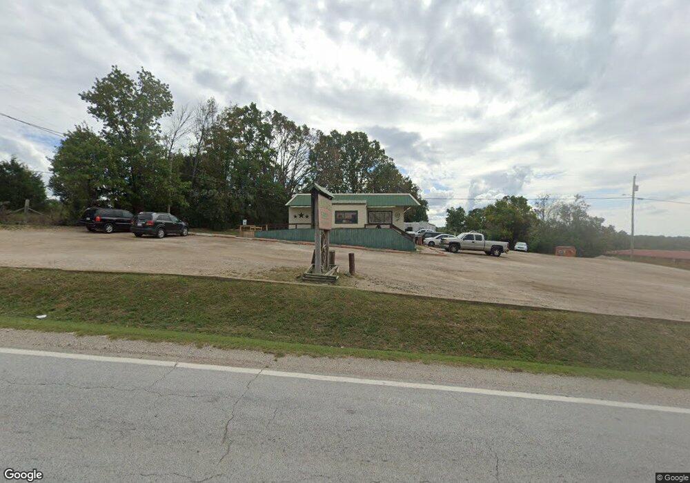
20262 Us Highway 160 Forsyth, MO 65653
Estimated Value: $118,823
--
Bed
--
Bath
1,680
Sq Ft
$71/Sq Ft
Est. Value
About This Home
This home is located at 20262 Us Highway 160, Forsyth, MO 65653 and is currently estimated at $118,823, approximately $70 per square foot. 20262 Us Highway 160 is a home located in Taney County with nearby schools including Forsyth Elementary School, Forsyth Middle School, and Forsyth High School.
Ownership History
Date
Name
Owned For
Owner Type
Purchase Details
Closed on
Mar 18, 2022
Sold by
Clayton Gary W and Clayton Marly
Bought by
Cook Ebony and Cook Roy
Current Estimated Value
Purchase Details
Closed on
Mar 9, 2022
Sold by
Alstatt Ronald G
Bought by
Clayton Gary W
Purchase Details
Closed on
Feb 14, 2022
Sold by
Bull Shoals Land Trust
Bought by
Clayton Gary W
Purchase Details
Closed on
Oct 15, 2020
Sold by
Alstatt Ronald G
Bought by
Bull Shoals Land Trust
Create a Home Valuation Report for This Property
The Home Valuation Report is an in-depth analysis detailing your home's value as well as a comparison with similar homes in the area
Home Values in the Area
Average Home Value in this Area
Purchase History
| Date | Buyer | Sale Price | Title Company |
|---|---|---|---|
| Cook Ebony | -- | None Listed On Document | |
| Clayton Gary W | -- | None Listed On Document | |
| Alstatt Ronald G | -- | None Listed On Document | |
| Clayton Gary W | -- | None Listed On Document | |
| Bull Shoals Land Trust | -- | Waco Title Company Branson |
Source: Public Records
Tax History Compared to Growth
Tax History
| Year | Tax Paid | Tax Assessment Tax Assessment Total Assessment is a certain percentage of the fair market value that is determined by local assessors to be the total taxable value of land and additions on the property. | Land | Improvement |
|---|---|---|---|---|
| 2025 | $936 | $18,590 | -- | -- |
| 2023 | $936 | $18,260 | $0 | $0 |
| 2022 | $928 | $18,260 | $0 | $0 |
| 2021 | $926 | $18,260 | $0 | $0 |
| 2019 | $907 | $18,260 | $0 | $0 |
| 2018 | $904 | $18,260 | $0 | $0 |
| 2017 | $904 | $18,260 | $0 | $0 |
| 2016 | $832 | $16,890 | $0 | $0 |
| 2015 | $832 | $16,890 | $0 | $0 |
| 2014 | $814 | $16,230 | $0 | $0 |
Source: Public Records
Map
Nearby Homes
- 20983 U S 160
- Tbd Catfish
- 496 Catfish Ln
- Tbd Perch St
- Tbd Catfish St & Drum St
- 255 Bass St
- Tbd Salmon Street & Muskie St
- 151 Abagail Ln
- Tbd Lakeway
- 516 Santa fe Dr
- 498 Santa fe Dr
- 130 Cedar Brooke Estates Dr
- 510 Chisholm Trail
- 1145 Lake Point Rd
- 155 Lake Terrace Rd
- 155 Lake Terrace Road (7 09 Acres)
- 317 State Highway O
- 151 Poco Ln
- 613 Lake Ranch Rd
- 200 Lance Wood Dr
- 20262 U S 160
- 20376 US Hwy 160
- 20376 Us Highway 160
- 20315 U S 160
- 20315 Us Highway 160
- 20162 Us Highway 160
- 20504 Us Highway 160
- 20333 Us Highway 160
- 13185 E State Highway 76
- 20333 U S 160
- 10151 E State Highway 76
- 245 Alex Rd
- 10409 E State Highway 76
- 110 Cabin Ln
- 20030 Us Hwy 160
- 20025 Us Highway 160 Unit 1
- 20025 Us Highway 160 Unit 9
- 20025 Us Highway 160 Unit 8
- 138 Cabin Ln
- 20613 Us Highway 160