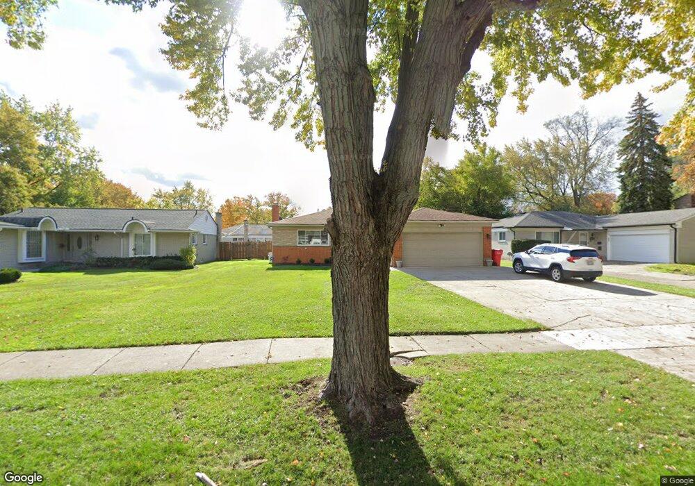
20265 Winchester St Southfield, MI 48076
Estimated Value: $251,622 - $303,000
--
Bed
2
Baths
1,405
Sq Ft
$201/Sq Ft
Est. Value
About This Home
This home is located at 20265 Winchester St, Southfield, MI 48076 and is currently estimated at $281,906, approximately $200 per square foot. 20265 Winchester St is a home located in Oakland County with nearby schools including Alice M. Birney K-8 School and Southfield Christian School.
Ownership History
Date
Name
Owned For
Owner Type
Purchase Details
Closed on
Sep 29, 2021
Sold by
David Bedros
Bought by
Bedros David and Bedros George Reno
Current Estimated Value
Purchase Details
Closed on
May 24, 2006
Sold by
Jihad Rodney
Bought by
Bedros David
Purchase Details
Closed on
Jan 2, 2001
Sold by
Hanna Bayda G
Bought by
Jihad Rodney
Home Financials for this Owner
Home Financials are based on the most recent Mortgage that was taken out on this home.
Original Mortgage
$140,000
Interest Rate
7.58%
Mortgage Type
Purchase Money Mortgage
Purchase Details
Closed on
Oct 25, 1999
Sold by
Hanna Laith
Bought by
Bayda Hanna
Create a Home Valuation Report for This Property
The Home Valuation Report is an in-depth analysis detailing your home's value as well as a comparison with similar homes in the area
Home Values in the Area
Average Home Value in this Area
Purchase History
| Date | Buyer | Sale Price | Title Company |
|---|---|---|---|
| Bedros David | -- | None Available | |
| Bedros David | -- | Blue Water Title | |
| Jihad Rodney | $156,000 | -- | |
| Bayda Hanna | -- | -- |
Source: Public Records
Mortgage History
| Date | Status | Borrower | Loan Amount |
|---|---|---|---|
| Previous Owner | Jihad Rodney | $140,000 |
Source: Public Records
Tax History Compared to Growth
Tax History
| Year | Tax Paid | Tax Assessment Tax Assessment Total Assessment is a certain percentage of the fair market value that is determined by local assessors to be the total taxable value of land and additions on the property. | Land | Improvement |
|---|---|---|---|---|
| 2022 | $3,112 | $107,920 | $20,560 | $87,360 |
| 2021 | $3,257 | $100,580 | $16,030 | $84,550 |
| 2020 | $2,618 | $89,740 | $12,330 | $77,410 |
| 2018 | $3,057 | $72,220 | $12,330 | $59,890 |
| 2015 | -- | $56,690 | $0 | $0 |
| 2014 | -- | $47,320 | $0 | $0 |
| 2011 | -- | $44,070 | $0 | $0 |
Source: Public Records
Map
Nearby Homes
- 20345 Harbor Ln
- 27925 Arlington Dr
- 20120 Covington Pkwy
- 28450 Tapert Dr
- 20780 Wayland St
- 27430 Evergreen Rd Unit 36
- 20351 Lacrosse Ave
- 20141 Lacrosse Ave
- 21140 Winchester St
- 21330 Winchester St
- 19360 W 11 Mile Rd
- 19400 W 11 Mile Rd Unit 12
- 19601 W 12 Mile Rd Unit 102
- 21440 Constitution St
- 21361 Andover Rd
- 19646 Middlesex Ave
- 19236 W 11 Mile Rd
- 21650 W 11 Mile Rd
- 27249 Nantucket Dr
- 000 Pontiac Trail
- 20295 Winchester St
- 20245 Winchester St
- 20260 Brookshire St
- 20315 Winchester St
- 20290 Brookshire St
- 20240 Brookshire St
- 20220 Brookshire St
- 20225 Winchester St
- 20345 Winchester St
- 20320 Brookshire St
- 20270 Winchester St
- 20240 Winchester St
- 20205 Winchester St
- 20290 Winchester St
- 20220 Winchester St
- 20300 Winchester St
- 20365 Winchester St
- 20340 Brookshire St
- 20200 Brookshire St
- 20200 Winchester St