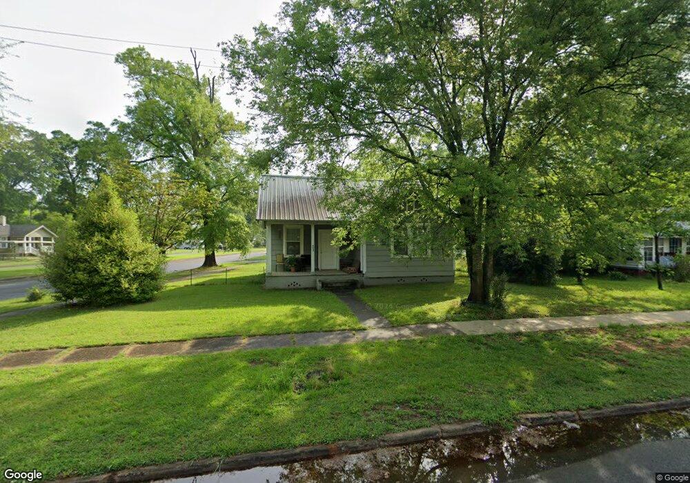
2027 1st Ave Rockmart, GA 30153
Estimated Value: $119,000 - $193,000
2
Beds
1
Bath
864
Sq Ft
$178/Sq Ft
Est. Value
About This Home
This home is located at 2027 1st Ave, Rockmart, GA 30153 and is currently estimated at $153,723, approximately $177 per square foot. 2027 1st Ave is a home located in Polk County.
Ownership History
Date
Name
Owned For
Owner Type
Purchase Details
Closed on
Apr 29, 2019
Sold by
Cummings David H
Bought by
David H Cummings Properties Llc
Current Estimated Value
Purchase Details
Closed on
Apr 4, 1996
Sold by
Coalson J Mark
Bought by
Cummings David H
Purchase Details
Closed on
Feb 12, 1993
Sold by
Grimes Robert G
Bought by
Coalson J Mark
Purchase Details
Closed on
Oct 5, 1990
Sold by
Allen Norma G
Bought by
Coalson J Mark
Purchase Details
Closed on
Aug 24, 1985
Sold by
Allen Norma G
Bought by
Bagley Norma Allen*
Purchase Details
Closed on
Jul 13, 1981
Sold by
Garrison Sam and Garrison Luna
Bought by
Allen Norma G
Purchase Details
Closed on
Nov 17, 1958
Bought by
Garrison Sam and Garrison Luna
Create a Home Valuation Report for This Property
The Home Valuation Report is an in-depth analysis detailing your home's value as well as a comparison with similar homes in the area
Home Values in the Area
Average Home Value in this Area
Purchase History
| Date | Buyer | Sale Price | Title Company |
|---|---|---|---|
| David H Cummings Properties Llc | -- | -- | |
| Cummings David H | $20,000 | -- | |
| Coalson J Mark | $1,000 | -- | |
| Coalson J Mark | $13,000 | -- | |
| Bagley Norma Allen | -- | -- | |
| Bagley Norma Allen* | -- | -- | |
| Allen Norma G | -- | -- | |
| Garrison Sam | -- | -- |
Source: Public Records
Tax History Compared to Growth
Tax History
| Year | Tax Paid | Tax Assessment Tax Assessment Total Assessment is a certain percentage of the fair market value that is determined by local assessors to be the total taxable value of land and additions on the property. | Land | Improvement |
|---|---|---|---|---|
| 2024 | $925 | $32,494 | $8,000 | $24,494 |
| 2023 | $537 | $16,742 | $1,440 | $15,302 |
| 2022 | $336 | $14,161 | $1,440 | $12,721 |
| 2021 | $340 | $14,161 | $1,440 | $12,721 |
| 2020 | $341 | $14,161 | $1,440 | $12,721 |
| 2019 | $354 | $13,184 | $784 | $12,400 |
| 2018 | $352 | $12,762 | $784 | $11,978 |
| 2017 | $347 | $12,762 | $784 | $11,978 |
| 2016 | $347 | $12,762 | $784 | $11,978 |
| 2015 | $354 | $12,961 | $784 | $12,177 |
| 2014 | $388 | $14,105 | $1,461 | $12,644 |
Source: Public Records
Map
Nearby Homes
- 451 Clearwater St
- 232 Litchfield St
- 247 Litchfield St
- 200 Litchfield St
- 530 Hogue Ave
- 0 Peachtree Rd Unit 19311295
- 0 Nathan Dean Bypass Unit 10434274
- 825 Wilson St
- 7667 Georgia 101
- 307 & 309 Pine St
- 11 Lot
- 540 N Marble St
- 571 N Marble St
- 522 Jackson St
- 119 Pearl St
- 222 Whitley Crossing
- 582 Barnwood Dr
- 123 Nicole Cir
- 1029 Fairview Rd
- 2470 Nathan Dean Pkwy