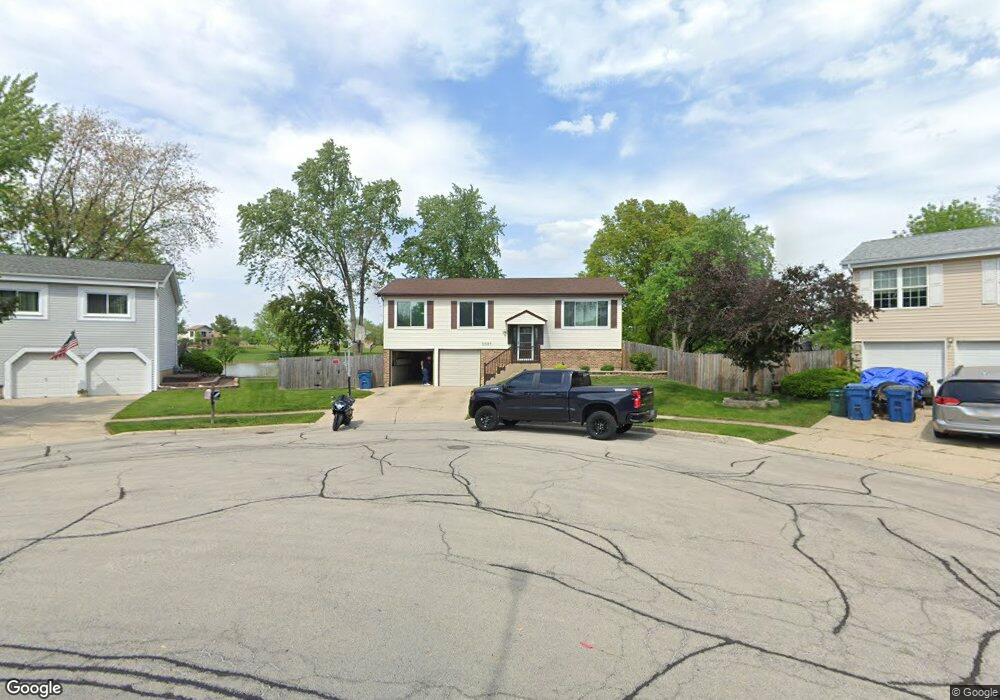
2027 Audubon Dr Glendale Heights, IL 60139
Estimated Value: $332,000 - $386,000
3
Beds
2
Baths
1,830
Sq Ft
$196/Sq Ft
Est. Value
About This Home
This home is located at 2027 Audubon Dr, Glendale Heights, IL 60139 and is currently estimated at $358,405, approximately $195 per square foot. 2027 Audubon Dr is a home located in DuPage County with nearby schools including Marquardt Middle School, Glenbard East High School, and St Isidore School.
Ownership History
Date
Name
Owned For
Owner Type
Purchase Details
Closed on
Aug 14, 1998
Sold by
Goon Larry C M and Yuen Larry C
Bought by
Marin Francisco and Marin Darlene A
Current Estimated Value
Home Financials for this Owner
Home Financials are based on the most recent Mortgage that was taken out on this home.
Original Mortgage
$140,600
Outstanding Balance
$29,511
Interest Rate
6.99%
Estimated Equity
$328,894
Create a Home Valuation Report for This Property
The Home Valuation Report is an in-depth analysis detailing your home's value as well as a comparison with similar homes in the area
Home Values in the Area
Average Home Value in this Area
Purchase History
| Date | Buyer | Sale Price | Title Company |
|---|---|---|---|
| Marin Francisco | $148,000 | -- |
Source: Public Records
Mortgage History
| Date | Status | Borrower | Loan Amount |
|---|---|---|---|
| Open | Marin Francisco | $140,600 |
Source: Public Records
Tax History Compared to Growth
Tax History
| Year | Tax Paid | Tax Assessment Tax Assessment Total Assessment is a certain percentage of the fair market value that is determined by local assessors to be the total taxable value of land and additions on the property. | Land | Improvement |
|---|---|---|---|---|
| 2024 | $7,531 | $89,765 | $24,997 | $64,768 |
| 2023 | $7,025 | $82,090 | $22,860 | $59,230 |
| 2022 | $7,595 | $81,530 | $22,710 | $58,820 |
| 2021 | $7,460 | $77,470 | $21,580 | $55,890 |
| 2020 | $7,036 | $75,580 | $21,050 | $54,530 |
| 2019 | $6,763 | $72,630 | $20,230 | $52,400 |
| 2018 | $7,873 | $76,790 | $19,700 | $57,090 |
| 2017 | $7,535 | $71,170 | $18,260 | $52,910 |
| 2016 | $7,174 | $65,870 | $16,900 | $48,970 |
| 2015 | $7,041 | $61,470 | $15,770 | $45,700 |
| 2014 | $6,769 | $58,950 | $15,770 | $43,180 |
| 2013 | $6,804 | $60,970 | $16,310 | $44,660 |
Source: Public Records
Map
Nearby Homes
- 133 Harding Ct
- 89 Stonefield Dr
- 2018 Stonefield Dr
- 67 Stonefield Dr
- 279 Blue Spruce Ln
- 1900 Basswood Ln
- 169 E Lake Ridge Dr Unit 21
- 187 W Army Trail Rd
- 2257 Lake Ridge Dr Unit 74
- 39 Mill Pond Dr
- 1943 Towner Ln
- 1941 Aspen Ln
- 307 E Alpine Dr
- 201 N Waters Edge Dr Unit 101
- 161 N Waters Edge Dr Unit 202
- 2158 College Dr Unit 7
- 2155 College Dr Unit 7
- 1760 Lombard Ct
- 200 Ahmed Ct
- 241 Army Trail Rd
- 2023 Audubon Dr
- 2031 Audubon Dr
- 2019 Audubon Dr
- 2035 Audubon Dr
- 2022 Audubon Dr
- 126 Harding Dr
- 2039 Audubon Dr
- 130 Harding Dr
- 134 Harding Dr
- 116 Harding Ct
- 2043 Audubon Dr
- 2026 Audubon Dr
- 138 Harding Dr
- 112 Harding Ct
- 2049 Audubon Dr
- 108 Harding Ct
- 2030 Audubon Dr
- 2053 Audubon Dr
- 144 Harding Dr
- 104 Harding Ct Unit 9