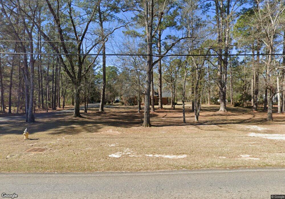
2027 Beattie Rd Albany, GA 31721
Estimated Value: $260,000 - $324,153
3
Beds
3
Baths
2,345
Sq Ft
$130/Sq Ft
Est. Value
About This Home
This home is located at 2027 Beattie Rd, Albany, GA 31721 and is currently estimated at $303,788, approximately $129 per square foot. 2027 Beattie Rd is a home located in Dougherty County with nearby schools including Live Oak Elementary School, Merry Acres Middle School, and Westover High School.
Ownership History
Date
Name
Owned For
Owner Type
Purchase Details
Closed on
Jan 15, 2010
Sold by
Mann James
Bought by
Hill Dan B and Hill Pamela C
Current Estimated Value
Home Financials for this Owner
Home Financials are based on the most recent Mortgage that was taken out on this home.
Original Mortgage
$172,000
Outstanding Balance
$112,871
Interest Rate
4.94%
Mortgage Type
New Conventional
Estimated Equity
$190,917
Purchase Details
Closed on
Jul 31, 2007
Sold by
Squires Kal G
Bought by
Mann James
Purchase Details
Closed on
May 16, 2003
Sold by
Squires Kal G
Bought by
Squires Melody W
Purchase Details
Closed on
Jan 14, 2002
Sold by
Pace Richard M and Pace Luellen W
Bought by
Squires Kal G and Squires Melody
Purchase Details
Closed on
Apr 15, 1999
Sold by
Pace Richard M and Pace Luellen W
Bought by
Dougherty County - Drainage Easement
Purchase Details
Closed on
Sep 29, 1988
Sold by
Crow Carl E and Crow Clara
Bought by
Pace Richard and Pace
Create a Home Valuation Report for This Property
The Home Valuation Report is an in-depth analysis detailing your home's value as well as a comparison with similar homes in the area
Purchase History
| Date | Buyer | Sale Price | Title Company |
|---|---|---|---|
| Hill Dan B | $215,000 | -- | |
| Mann James | $220,000 | -- | |
| Squires Melody W | -- | -- | |
| Squires Kal G | -- | -- | |
| Squires Kal G | $200,000 | -- | |
| Dougherty County - Drainage Easement | -- | -- | |
| Pace Richard | $23,000 | -- |
Source: Public Records
Mortgage History
| Date | Status | Borrower | Loan Amount |
|---|---|---|---|
| Open | Hill Dan B | $172,000 |
Source: Public Records
Tax History
| Year | Tax Paid | Tax Assessment Tax Assessment Total Assessment is a certain percentage of the fair market value that is determined by local assessors to be the total taxable value of land and additions on the property. | Land | Improvement |
|---|---|---|---|---|
| 2024 | -- | $89,328 | $18,840 | $70,488 |
| 2023 | $0 | $89,328 | $18,840 | $70,488 |
| 2022 | $3,873 | $89,328 | $18,840 | $70,488 |
| 2021 | $3,873 | $89,328 | $18,840 | $70,488 |
| 2020 | $3,882 | $89,328 | $18,840 | $70,488 |
| 2019 | $161 | $89,328 | $18,840 | $70,488 |
| 2018 | $0 | $89,328 | $18,840 | $70,488 |
| 2017 | $3,371 | $89,328 | $18,840 | $70,488 |
| 2016 | $3,373 | $89,328 | $18,840 | $70,488 |
| 2015 | $3,379 | $89,328 | $18,840 | $70,488 |
| 2014 | $2,832 | $76,960 | $12,560 | $64,400 |
Source: Public Records
Map
Nearby Homes
- 1930 Beattie Rd
- 2105 Beattie Rd
- 3422 Plantation Dr
- 3607 Castle Pines Ln
- 2202 Trowbridge Rd
- 3215 Saddleleaf Ave
- 2002 Cumberland Ln
- 2115 Cumberland Ln
- 1903 Devon Dr
- 1729 Dorchester Dr
- 3409 Bellingham Ln
- 3114 Westgate Dr
- 3424 Bellingham Ln
- 1720 Whisperwood St
- 3013 Ember Ct
- 1633 Devon Dr
- 1627 Devon Dr
- 2423 E Alberson Dr
- 1800 Regalwood Dr
- 2532 E Alberson Dr
- 2025 Beattie Rd
- 2029 Beattie Rd
- 3318 Westgate Dr
- 2000 Trowbridge Rd
- 2015 Beattie Rd
- 1731 Beattie Rd
- 2009 Beattie Rd
- 1800 - 2 Beattie Rd
- 1800 Beattie Rd
- 2101 Beattie Rd
- 3316 Westgate Dr
- 2002 Trowbridge Rd
- 3317 Westgate Dr
- 2001 Trowbridge Rd
- 3314 Westgate Dr
- 2013 Beattie Rd
- 2004 Trowbridge Rd
- 2002 Beattie Rd
- 3315 Westgate Dr
- 2102 Beattie Rd
Your Personal Tour Guide
Ask me questions while you tour the home.
