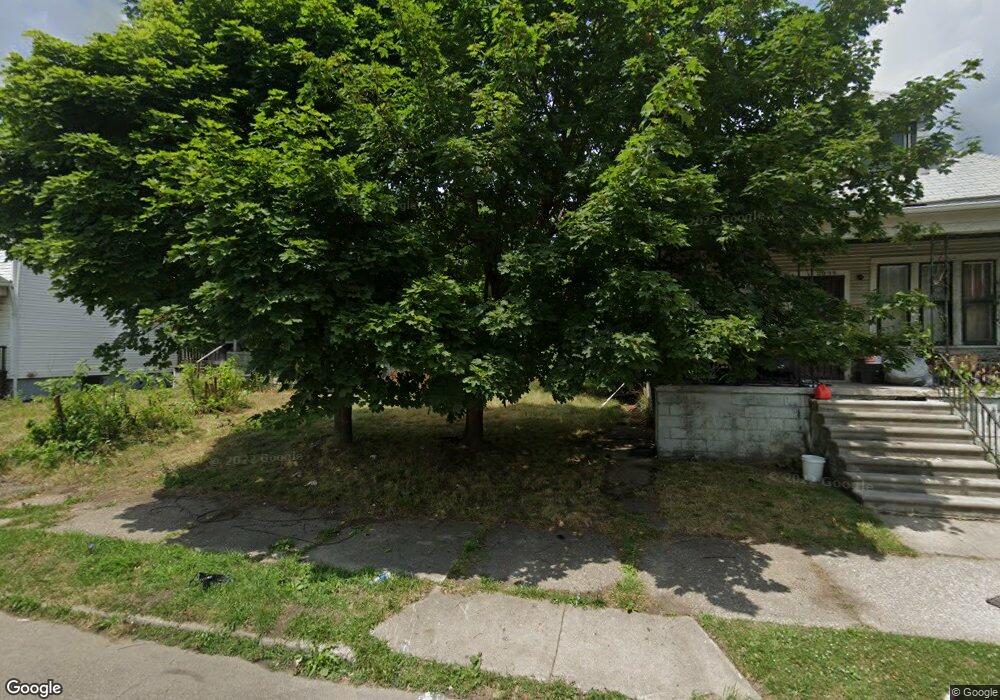
2027 Burnside St HamtraMcK, MI 48212
Campau-Banglatown NeighborhoodEstimated Value: $65,000 - $125,000
2
Beds
1
Bath
660
Sq Ft
$133/Sq Ft
Est. Value
About This Home
This home is located at 2027 Burnside St, HamtraMcK, MI 48212 and is currently estimated at $88,108, approximately $133 per square foot. 2027 Burnside St is a home located in Wayne County with nearby schools including Davison Elementary-Middle School, Charles L. Spain Elementary-Middle School, and Edward 'Duke' Ellington Conservatory of Music and Art.
Ownership History
Date
Name
Owned For
Owner Type
Purchase Details
Closed on
Nov 7, 2022
Sold by
Detroit Land Bank Authority
Bought by
Husban Shawon
Current Estimated Value
Purchase Details
Closed on
Jan 12, 2017
Sold by
Sabree Eric R
Bought by
Detroit Land Bank Authority
Purchase Details
Closed on
Jan 20, 2014
Sold by
Tradin Places Llc
Bought by
Us Mortgage Specialist Llc
Purchase Details
Closed on
Nov 25, 2013
Sold by
Wayne County Treasurer
Bought by
Tradin Places Llc
Purchase Details
Closed on
Dec 16, 2008
Sold by
Wells Fargo Bank Na
Bought by
Fuller Darrelle
Purchase Details
Closed on
Jan 9, 2008
Sold by
Moore Kevin M
Bought by
Wells Fargo Bank Na
Create a Home Valuation Report for This Property
The Home Valuation Report is an in-depth analysis detailing your home's value as well as a comparison with similar homes in the area
Home Values in the Area
Average Home Value in this Area
Purchase History
| Date | Buyer | Sale Price | Title Company |
|---|---|---|---|
| Husban Shawon | $17,400 | -- | |
| Detroit Land Bank Authority | -- | None Available | |
| Us Mortgage Specialist Llc | -- | None Available | |
| Tradin Places Llc | $500 | None Available | |
| Fuller Darrelle | $800 | Attorneys Title Agency Llc | |
| Wells Fargo Bank Na | $19,800 | None Available |
Source: Public Records
Tax History Compared to Growth
Tax History
| Year | Tax Paid | Tax Assessment Tax Assessment Total Assessment is a certain percentage of the fair market value that is determined by local assessors to be the total taxable value of land and additions on the property. | Land | Improvement |
|---|---|---|---|---|
| 2025 | $1,187 | $18,900 | $0 | $0 |
| 2024 | $1,187 | $16,000 | $0 | $0 |
| 2023 | $0 | $0 | $0 | $0 |
| 2022 | $0 | $0 | $0 | $0 |
| 2021 | $0 | $0 | $0 | $0 |
| 2020 | $888 | $0 | $0 | $0 |
| 2019 | $888 | $0 | $0 | $0 |
| 2018 | $0 | $5,500 | $0 | $0 |
| 2017 | $102 | $5,400 | $0 | $0 |
| 2016 | $765 | $13,700 | $0 | $0 |
| 2015 | $690 | $6,900 | $0 | $0 |
| 2013 | $862 | $8,616 | $0 | $0 |
| 2010 | -- | $12,631 | $399 | $12,232 |
Source: Public Records
Map
Nearby Homes
- 2020 Halleck St
- 2139 Mcpherson St
- 2132 Mclean St
- 12133 Fleming St
- 12051 Fleming St
- 12015 Lumpkin St
- 2358 Neibel St
- 13100 Dequindre St
- 13108 Dequindre St
- 13114 Dequindre St
- 11614 Nagel St
- 11609 Saint Aubin St
- 11603 Lumpkin St
- 2657 Botsford St
- 13120 Dequindre St
- 11524 Nagel St
- 2417 Casmere St
- 11399 Lumpkin St
- 12140 Mitchell St
- 2405 Burger St
- 2021 Burnside St
- 2015 Burnside St
- 2039 Burnside St
- 2009 Burnside St
- 2045 Burnside St
- 2026 Halleck St
- 2038 Halleck St
- 2014 Halleck St
- 2008 Halleck St
- 1997 Burnside St
- 2057 Burnside St
- 2020 Burnside St
- 2034 Burnside St
- 2038 Burnside St
- 2050 Halleck St
- 2046 Burnside St
- 2010 Burnside St
- 1991 Burnside St
- 1998 Halleck St
- 1996 Burnside St