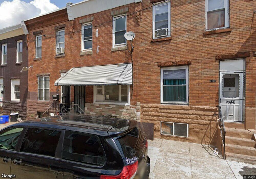
2027 E Monmouth St Philadelphia, PA 19134
Port Richmond NeighborhoodEstimated Value: $96,000 - $128,000
3
Beds
1
Bath
1,100
Sq Ft
$104/Sq Ft
Est. Value
About This Home
This home is located at 2027 E Monmouth St, Philadelphia, PA 19134 and is currently estimated at $114,160, approximately $103 per square foot. 2027 E Monmouth St is a home located in Philadelphia County with nearby schools including Frances E. Willard Elementary School, Kensington High School, and Kensington Health Sciences Academy.
Ownership History
Date
Name
Owned For
Owner Type
Purchase Details
Closed on
Aug 11, 2016
Sold by
Vargas Jose and Wells Fargo Bank Na
Bought by
Rosales Daniel Humberto
Current Estimated Value
Purchase Details
Closed on
May 22, 2003
Sold by
Novak Linda and Estate Of Annastasia Judelsohn
Bought by
Vargas Jose
Home Financials for this Owner
Home Financials are based on the most recent Mortgage that was taken out on this home.
Original Mortgage
$32,975
Interest Rate
5.86%
Mortgage Type
FHA
Create a Home Valuation Report for This Property
The Home Valuation Report is an in-depth analysis detailing your home's value as well as a comparison with similar homes in the area
Home Values in the Area
Average Home Value in this Area
Purchase History
| Date | Buyer | Sale Price | Title Company |
|---|---|---|---|
| Rosales Daniel Humberto | $35,000 | None Available | |
| Vargas Jose | $32,900 | -- |
Source: Public Records
Mortgage History
| Date | Status | Borrower | Loan Amount |
|---|---|---|---|
| Previous Owner | Vargas Jose | $32,975 |
Source: Public Records
Tax History Compared to Growth
Tax History
| Year | Tax Paid | Tax Assessment Tax Assessment Total Assessment is a certain percentage of the fair market value that is determined by local assessors to be the total taxable value of land and additions on the property. | Land | Improvement |
|---|---|---|---|---|
| 2025 | $953 | $96,300 | $19,260 | $77,040 |
| 2024 | $953 | $96,300 | $19,260 | $77,040 |
| 2023 | $953 | $68,100 | $13,620 | $54,480 |
| 2022 | $806 | $68,100 | $13,620 | $54,480 |
| 2021 | $806 | $0 | $0 | $0 |
| 2020 | $806 | $0 | $0 | $0 |
| 2019 | $749 | $0 | $0 | $0 |
| 2018 | $749 | $0 | $0 | $0 |
| 2017 | $749 | $0 | $0 | $0 |
| 2016 | $749 | $0 | $0 | $0 |
| 2015 | $717 | $0 | $0 | $0 |
| 2014 | -- | $53,500 | $6,669 | $46,831 |
| 2012 | -- | $5,600 | $699 | $4,901 |
Source: Public Records
Map
Nearby Homes
- 2918 Frankford Ave
- 2963 Frankford Ave
- 2008 E Orleans St
- 2011 E Cambria St
- 2018-20 E Stella St
- 2050 E Cambria St
- 2074 E Birch St
- 2074 Bellmore Ave
- 2056 E Stella St
- 2131 E William St
- 2882 Emerald St
- 2161 E William St
- 2055 E William St
- 3165 Amber St
- 2818 Amber St
- 2101 E Orleans St
- 2148 Bellmore St
- 2116 Bellmore St
- 2057 E William St
- 2059 E William St
- 2025 E Monmouth St
- 2023 E Monmouth St
- 2021 E Monmouth St
- 2029 E Monmouth St
- 2031 E Monmouth St
- 2019 E Monmouth St
- 2017 E Monmouth St
- 2028 E Birch St
- 2015 E Monmouth St
- 2030 E Birch St
- 2026 E Birch St
- 2022 E Birch St
- 2024 E Birch St
- 2032 E Birch St
- 2018 E Birch St
- 2020 E Birch St
- 2026 E Monmouth St
- 2020 E Monmouth St
- 2022 E Monmouth St
- 2024 E Monmouth St