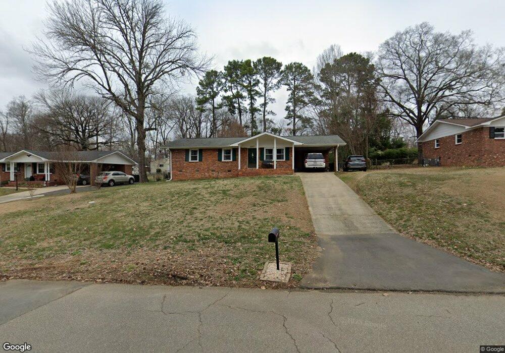
2027 Franklin St Unit 14 Rock Hill, SC 29732
Estimated Value: $278,000 - $282,000
--
Bed
2
Baths
1,202
Sq Ft
$233/Sq Ft
Est. Value
About This Home
This home is located at 2027 Franklin St Unit 14, Rock Hill, SC 29732 and is currently estimated at $279,608, approximately $232 per square foot. 2027 Franklin St Unit 14 is a home located in York County with nearby schools including W.C. Sullivan Middle School, Rock Hill High School, and St. Anne Catholic School.
Ownership History
Date
Name
Owned For
Owner Type
Purchase Details
Closed on
Jul 22, 2025
Sold by
Moore Austin Caleb and Moore Rachel Brooks
Bought by
Orsini Laura J
Current Estimated Value
Home Financials for this Owner
Home Financials are based on the most recent Mortgage that was taken out on this home.
Original Mortgage
$274,928
Outstanding Balance
$274,462
Interest Rate
6.85%
Mortgage Type
FHA
Estimated Equity
$5,146
Purchase Details
Closed on
Dec 1, 2021
Sold by
Wilcox Michael A
Bought by
Moore Austin Caleb and Moore Rachel Brooks
Home Financials for this Owner
Home Financials are based on the most recent Mortgage that was taken out on this home.
Original Mortgage
$252,200
Interest Rate
3.09%
Mortgage Type
New Conventional
Create a Home Valuation Report for This Property
The Home Valuation Report is an in-depth analysis detailing your home's value as well as a comparison with similar homes in the area
Home Values in the Area
Average Home Value in this Area
Purchase History
| Date | Buyer | Sale Price | Title Company |
|---|---|---|---|
| Orsini Laura J | $280,000 | None Listed On Document | |
| Moore Austin Caleb | $260,000 | None Available |
Source: Public Records
Mortgage History
| Date | Status | Borrower | Loan Amount |
|---|---|---|---|
| Open | Orsini Laura J | $274,928 | |
| Previous Owner | Moore Austin Caleb | $252,200 |
Source: Public Records
Tax History Compared to Growth
Tax History
| Year | Tax Paid | Tax Assessment Tax Assessment Total Assessment is a certain percentage of the fair market value that is determined by local assessors to be the total taxable value of land and additions on the property. | Land | Improvement |
|---|---|---|---|---|
| 2024 | $2,149 | $9,797 | $1,120 | $8,677 |
| 2023 | $2,155 | $9,797 | $1,120 | $8,677 |
| 2022 | $2,170 | $9,797 | $1,120 | $8,677 |
| 2021 | -- | $4,054 | $1,120 | $2,934 |
| 2020 | $900 | $4,054 | $0 | $0 |
| 2019 | $829 | $3,620 | $0 | $0 |
| 2018 | $828 | $3,620 | $0 | $0 |
| 2017 | $797 | $3,620 | $0 | $0 |
| 2016 | $790 | $3,620 | $0 | $0 |
| 2014 | $778 | $3,620 | $1,120 | $2,500 |
| 2013 | $778 | $3,740 | $1,120 | $2,620 |
Source: Public Records
Map
Nearby Homes
- 1670 Midbrook Dr
- 2009 Pinevalley Rd
- 2016 Celanese Rd
- 1948 Marett Blvd
- 128 Front Porch Dr
- 2126 Crosstrail Ridge
- 2606 Camelot Dr
- 1233 Sapaugh Ave
- 2300 Crosstrail Ridge
- 1319 Mount Gallant Rd
- 1729 Fieldcrest Cir
- 2177 Lookout Ridge
- 1505 Tuckers Glenn Dr
- 1791 Rosewell Dr Unit 65
- 1155 Cedar Grove Ln
- 2236 Myers St
- 2246 Myers St
- 1944 Bristol Pkwy
- 1642 Amber Ln
- 1776 Rosewell Dr
- 1969 Franklin St
- 2041 Franklin St
- 2012 Country Ct
- 2038 Franklin St
- 1966 Franklin St
- 2018 Country Ct
- 1955 Franklin St
- 2049 Franklin St
- 1802 Woodcrest Cir
- 2044 Franklin St
- 2024 Country Ct
- 1726 Midbrook Dr
- 2048 Franklin St
- 1947 Franklin St
- 2057 Franklin St
- 1725 Midbrook Dr
- 1948 Franklin St
- 2056 Franklin St
- 2005 Country Ct
- 1718 Midbrook Dr