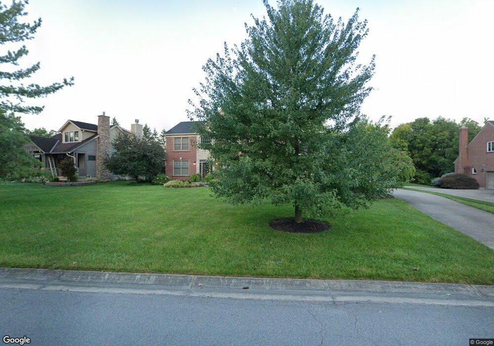
2027 Harcourt Dr Cincinnati, OH 45244
Dry Run NeighborhoodEstimated Value: $495,506 - $595,000
4
Beds
3
Baths
2,550
Sq Ft
$217/Sq Ft
Est. Value
About This Home
This home is located at 2027 Harcourt Dr, Cincinnati, OH 45244 and is currently estimated at $553,127, approximately $216 per square foot. 2027 Harcourt Dr is a home located in Hamilton County with nearby schools including Summit Elementary School, Nagel Middle School, and Anderson High School.
Ownership History
Date
Name
Owned For
Owner Type
Purchase Details
Closed on
Oct 19, 2023
Sold by
Vaughan Thomas K and Vaughan Angela
Bought by
Vaughan Family Trust and Vaughan
Current Estimated Value
Purchase Details
Closed on
Mar 21, 2003
Sold by
Prudential Relocation Inc
Bought by
Vaughan Thomas K and Vaughan Angela
Purchase Details
Closed on
Sep 26, 2002
Sold by
Welker David W and Welker Sherry B
Bought by
Prudential Relocation Inc and Citicapitol Relocation Inc
Purchase Details
Closed on
Apr 30, 1996
Sold by
Expression Homes Inc
Bought by
Welker David W and Welker Sherry B
Home Financials for this Owner
Home Financials are based on the most recent Mortgage that was taken out on this home.
Original Mortgage
$235,000
Interest Rate
7.86%
Create a Home Valuation Report for This Property
The Home Valuation Report is an in-depth analysis detailing your home's value as well as a comparison with similar homes in the area
Home Values in the Area
Average Home Value in this Area
Purchase History
| Date | Buyer | Sale Price | Title Company |
|---|---|---|---|
| Vaughan Family Trust | -- | None Listed On Document | |
| Vaughan Thomas K | $299,900 | -- | |
| Prudential Relocation Inc | $320,500 | -- | |
| Welker David W | $270,000 | -- |
Source: Public Records
Mortgage History
| Date | Status | Borrower | Loan Amount |
|---|---|---|---|
| Previous Owner | Welker David W | $235,000 |
Source: Public Records
Tax History
| Year | Tax Paid | Tax Assessment Tax Assessment Total Assessment is a certain percentage of the fair market value that is determined by local assessors to be the total taxable value of land and additions on the property. | Land | Improvement |
|---|---|---|---|---|
| 2025 | $9,003 | $141,128 | $28,060 | $113,068 |
| 2023 | $8,305 | $141,128 | $28,060 | $113,068 |
| 2022 | $7,771 | $118,234 | $27,507 | $90,727 |
| 2021 | $7,590 | $118,234 | $27,507 | $90,727 |
| 2020 | $7,676 | $118,234 | $27,507 | $90,727 |
| 2019 | $7,484 | $104,633 | $24,343 | $80,290 |
| 2018 | $7,017 | $96,534 | $24,343 | $72,191 |
| 2017 | $6,120 | $96,534 | $24,343 | $72,191 |
| 2016 | $6,265 | $96,586 | $24,829 | $71,757 |
| 2015 | $6,088 | $96,586 | $24,829 | $71,757 |
| 2014 | $6,092 | $96,586 | $24,829 | $71,757 |
| 2013 | $5,655 | $94,693 | $24,343 | $70,350 |
Source: Public Records
Map
Nearby Homes
- 2015 Tall Pines Ln
- 1757 Muskegon Dr
- 1676 Laval Dr
- 1748 Hilltree Dr
- 1847 Eight Mile Rd
- 0 Clough Pike Unit 1861584
- 1662 Hilltree Dr
- 4383 Wiborg Dr
- 8320 Katies Ct
- 2528 Teuton Ct
- 8602 Linderwood Ln
- 4353 Mount Carmel Tobasco Rd
- 8146 Clough Pike
- 2256 Endovalley Dr
- 8175 Timbercreek Dr
- 1885 Wanninger Ln
- 530 Park Place
- 7660 Clough Pike
- 7652 Clough Pike
- 4133 Brandonmore Dr
- 2027 Harcourt Estates Dr
- 2015 Harcourt Dr
- 2011 Harcourt Estates Dr
- 2035 Harcourt Dr
- 2035 Harcourt Estates Dr
- 8582 Clough Pike
- 2030 Harcourt Estates Dr
- 2030 Harcourt Dr
- 2030 Harcourt Dr Unit 24
- 2049 Harcourt Dr
- 2042 Harcourt Dr
- 2049 Harcourt Estates Dr
- 2042 Harcourt Estates Dr
- 2020 Anderson Cove Ln
- 8566 Clough Pike
- 2030 Anderson Cove Ln
- 2031 Tall Pines Ln
- 2040 Anderson Cove Ln
- 2057 Harcourt Dr
- 2057 Harcourt Estates Dr
Your Personal Tour Guide
Ask me questions while you tour the home.