2027 James Ln Latrobe, PA 15650
Estimated Value: $117,478 - $314,000
--
Bed
--
Bath
3,466
Sq Ft
$68/Sq Ft
Est. Value
About This Home
This home is located at 2027 James Ln, Latrobe, PA 15650 and is currently estimated at $237,120, approximately $68 per square foot. 2027 James Ln is a home located in Westmoreland County with nearby schools including Greater Latrobe Junior High School and Greater Latrobe Senior High School.
Ownership History
Date
Name
Owned For
Owner Type
Purchase Details
Closed on
Jun 7, 2017
Sold by
Henderson Sally and Henderson Thomas W
Bought by
Henderson Thomas W and Henderson Kelly A
Current Estimated Value
Purchase Details
Closed on
Jun 23, 2016
Sold by
Blystone Francis E
Bought by
Henderson Sally and Henderson Thomas W
Purchase Details
Closed on
Feb 26, 2016
Sold by
Blystone Francis E and Blystone Mary Jane
Bought by
Henderson Sally and Henderson Thomas W
Purchase Details
Closed on
Sep 14, 2015
Sold by
Blystone Francis E and Blystone Mary Jane
Bought by
Henderson Sally
Create a Home Valuation Report for This Property
The Home Valuation Report is an in-depth analysis detailing your home's value as well as a comparison with similar homes in the area
Home Values in the Area
Average Home Value in this Area
Purchase History
| Date | Buyer | Sale Price | Title Company |
|---|---|---|---|
| Henderson Thomas W | -- | None Available | |
| Henderson Sally | -- | None Available | |
| Henderson Sally | $4,033 | None Available | |
| Henderson Sally | $4,033 | None Available |
Source: Public Records
Tax History Compared to Growth
Tax History
| Year | Tax Paid | Tax Assessment Tax Assessment Total Assessment is a certain percentage of the fair market value that is determined by local assessors to be the total taxable value of land and additions on the property. | Land | Improvement |
|---|---|---|---|---|
| 2025 | $1,365 | $11,310 | $2,100 | $9,210 |
| 2024 | $1,365 | $11,310 | $2,100 | $9,210 |
| 2023 | $291 | $11,310 | $2,100 | $9,210 |
| 2022 | $1,252 | $11,310 | $2,100 | $9,210 |
| 2021 | $1,241 | $11,310 | $2,100 | $9,210 |
| 2020 | $1,221 | $11,310 | $2,100 | $9,210 |
| 2019 | $1,204 | $11,310 | $2,100 | $9,210 |
| 2018 | $1,198 | $11,310 | $2,100 | $9,210 |
| 2017 | $1,167 | $11,310 | $2,100 | $9,210 |
| 2016 | $274 | $11,310 | $2,100 | $9,210 |
| 2015 | $274 | $11,310 | $2,100 | $9,210 |
| 2014 | -- | $11,310 | $2,100 | $9,210 |
Source: Public Records
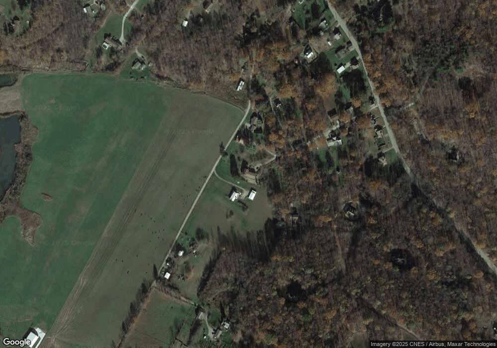
Map
Nearby Homes
- 350 American Legion Rd
- 206 Apple Hill Dr
- 112 Alpen Strasse Dr
- 1160 Murray Ave
- 631 Rose Garden Terrace
- 1003 Youngstown Ridge Rd
- 114 Greenfield Dr
- 1630 Lois Rd Unit Lot 22 B
- 1632 Lois Rd Unit Lot 22 A
- 1590 Lois Rd Unit Lot 13 B
- 1618 Lois Road Lot 19 B
- 1616 Lois Road Lot 18 A
- 1201 Wayne Road Lot 62 A
- 1302 Roger Drive Lot 55 B
- 1305 Roger Drive Lot 51 A
- Lot 22 Spruce St
- RT 130-Bell Memorial
- 5634 State Route 981
- 155 Smolleck St
- 221 Malvina Ln
- 153 National Ln
- 2026 James Ln
- 2021 James Ln
- 2022 James Ln
- 130 National Ln
- 2010 James Ln
- 2013 James Ln
- 126 National Ln
- 173 National Ln
- 209 Golden Ln
- 2009 James Ln
- 2008 James Ln
- 116 Stoney Ridge Ln
- 1819 Bethel Church Rd
- 1811 Bethel Church Rd
- 1817 Bethel Church Rd
- 1837 Bethel Church Rd
- 1833 Bethel Church Rd
- 113 National Ln
- 1841 Bethel Church Rd