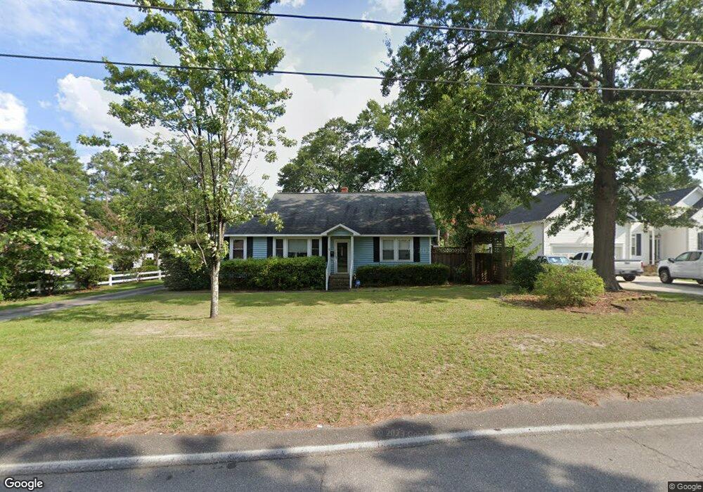
2027 Morningside Dr West Columbia, SC 29169
Estimated Value: $196,000 - $224,000
3
Beds
1
Bath
1,225
Sq Ft
$174/Sq Ft
Est. Value
About This Home
This home is located at 2027 Morningside Dr, West Columbia, SC 29169 and is currently estimated at $213,025, approximately $173 per square foot. 2027 Morningside Dr is a home located in Lexington County with nearby schools including Riverbank Elementary, Northside Middle, and Brookland-Cayce High School.
Ownership History
Date
Name
Owned For
Owner Type
Purchase Details
Closed on
Apr 30, 2019
Sold by
Miller Robert A
Bought by
Lester John D and Lester Michelle
Current Estimated Value
Home Financials for this Owner
Home Financials are based on the most recent Mortgage that was taken out on this home.
Original Mortgage
$100,000
Outstanding Balance
$87,738
Interest Rate
4.3%
Mortgage Type
New Conventional
Estimated Equity
$125,287
Purchase Details
Closed on
Oct 25, 2002
Sold by
Popik David S
Bought by
Chaplin Kent S
Create a Home Valuation Report for This Property
The Home Valuation Report is an in-depth analysis detailing your home's value as well as a comparison with similar homes in the area
Home Values in the Area
Average Home Value in this Area
Purchase History
| Date | Buyer | Sale Price | Title Company |
|---|---|---|---|
| Lester John D | $125,000 | None Available | |
| Chaplin Kent S | $137,900 | -- |
Source: Public Records
Mortgage History
| Date | Status | Borrower | Loan Amount |
|---|---|---|---|
| Open | Lester John D | $100,000 |
Source: Public Records
Tax History Compared to Growth
Tax History
| Year | Tax Paid | Tax Assessment Tax Assessment Total Assessment is a certain percentage of the fair market value that is determined by local assessors to be the total taxable value of land and additions on the property. | Land | Improvement |
|---|---|---|---|---|
| 2024 | $3,232 | $7,500 | $2,100 | $5,400 |
| 2023 | $2,961 | $7,500 | $2,100 | $5,400 |
| 2022 | $2,804 | $7,500 | $2,100 | $5,400 |
| 2020 | $2,659 | $7,500 | $2,100 | $5,400 |
| 2019 | $1,508 | $4,208 | $1,361 | $2,847 |
| 2018 | $1,495 | $4,208 | $1,361 | $2,847 |
| 2017 | $36 | $2,804 | $907 | $1,897 |
| 2016 | $48 | $2,804 | $907 | $1,897 |
| 2014 | -- | $2,437 | $496 | $1,941 |
| 2013 | -- | $2,440 | $500 | $1,940 |
Source: Public Records
Map
Nearby Homes
- 623 Hook Ave
- 529 Finnegan Ln
- 500 Finnegan Ln
- 165 Cavendish Dr
- 0 Platt Springs Rd Unit 606355
- 2004 Dew Ave
- 0 Sunset Blvd Unit 553428
- 1715 Gilvie Ave
- 207 Woodhaven Dr
- 215 Sandel Ln
- 100 Double Branch Ct
- 1513 Gambrell St
- 108 Double Branch Ct
- 617 Holland Cir
- 1615 Holland St
- 913 Harper Rose Ct
- 106 Earl Ct
- 235 Harvest Glen Ln
- 929-931 Central Dr
- 161 Weeping Oak Ln
- 2031 Morningside Dr
- 156 Burlie Dr
- 900 Kim St
- 2012 Morningside Dr
- 2011 Morningside Dr
- 2010 Morningside Dr
- 916 Kim St
- 901 Kim St
- 153 Burlie Dr
- 2021 Morningside Dr
- 2008 Morningside Dr
- 2007 Morningside Dr
- 900 Victoria St
- 2025 Ervin St
- 2015 Ervin St
- 140 Burlie Dr
- 140 Burlie Dr
- 2009 Ervin St
- 908 Victoria St
- 2001 Morningside Dr