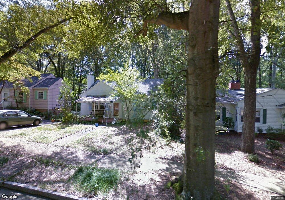
2027 Pershing St Durham, NC 27705
Watts Hospital-Hillandale NeighborhoodEstimated Value: $424,000 - $585,000
3
Beds
1
Bath
1,182
Sq Ft
$415/Sq Ft
Est. Value
About This Home
This home is located at 2027 Pershing St, Durham, NC 27705 and is currently estimated at $490,880, approximately $415 per square foot. 2027 Pershing St is a home located in Durham County with nearby schools including E K Powe Elementary, W.G. Pearson Elementary School, and Brogden Middle.
Ownership History
Date
Name
Owned For
Owner Type
Purchase Details
Closed on
Jan 10, 2005
Sold by
Crawford Kent John
Bought by
Justice Joy Pinkston
Current Estimated Value
Purchase Details
Closed on
Dec 29, 2003
Sold by
Justice Joy Pinkston
Bought by
Crawford Kent John
Create a Home Valuation Report for This Property
The Home Valuation Report is an in-depth analysis detailing your home's value as well as a comparison with similar homes in the area
Home Values in the Area
Average Home Value in this Area
Purchase History
| Date | Buyer | Sale Price | Title Company |
|---|---|---|---|
| Justice Joy Pinkston | -- | -- | |
| Crawford Kent John | -- | -- |
Source: Public Records
Tax History
| Year | Tax Paid | Tax Assessment Tax Assessment Total Assessment is a certain percentage of the fair market value that is determined by local assessors to be the total taxable value of land and additions on the property. | Land | Improvement |
|---|---|---|---|---|
| 2025 | $4,453 | $449,208 | $307,125 | $142,083 |
| 2024 | $4,123 | $295,605 | $105,390 | $190,215 |
| 2023 | $3,872 | $295,605 | $105,390 | $190,215 |
| 2022 | $3,783 | $295,605 | $105,390 | $190,215 |
| 2021 | $3,766 | $295,605 | $105,390 | $190,215 |
| 2020 | $3,677 | $295,605 | $105,390 | $190,215 |
| 2019 | $3,677 | $295,605 | $105,390 | $190,215 |
| 2018 | $3,179 | $234,343 | $52,695 | $181,648 |
| 2017 | $3,155 | $234,343 | $52,695 | $181,648 |
| 2016 | $3,049 | $234,343 | $52,695 | $181,648 |
| 2015 | $2,669 | $192,815 | $41,509 | $151,306 |
| 2014 | $2,669 | $192,815 | $41,509 | $151,306 |
Source: Public Records
Map
Nearby Homes
- 2111 Pershing St
- 2116 Pershing St
- 1401 Maryland Ave
- 2101 Sunset Ave
- 2305 Sprunt Ave
- 1804 Sunset Ave
- 1106 9th St
- 1007 Virgie St
- 2303 Englewood Ave
- 1409 Sedgefield St
- 1308 Sedgefield St Unit A
- 2207 Edwin Ave
- 1811 Forest Rd
- 1801 Forest Rd
- 919 Sedgefield St
- 2658 Lawndale Ave
- 914 Rosehill Ave
- 1820 Forest Rd
- 2217 Stroller Ave
- 1708 Forest Rd
- 2025 Pershing St
- 2029 Pershing St
- 2023 Pershing St
- 1404 Carolina Ave
- 2026 Wilson St
- 2021 Pershing St
- 2022 Wilson St
- 2028 Pershing St
- 2019 Pershing St
- 2026 Pershing St
- 2032 Wilson St
- 2020 Wilson St
- 2024 Pershing St
- 2022 Pershing St
- 2017 Pershing St
- 2018 Wilson St
- 1407 Carolina Ave
- 2020 Pershing St
- 1506 Carolina Ave
- 2016 Wilson St
Your Personal Tour Guide
Ask me questions while you tour the home.