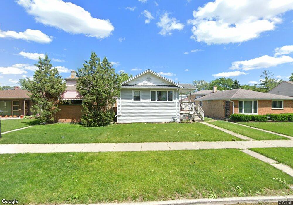
2027 S 14th Ave Broadview, IL 60155
South Maywood NeighborhoodEstimated Value: $164,000 - $279,000
2
Beds
1
Bath
897
Sq Ft
$235/Sq Ft
Est. Value
About This Home
This home is located at 2027 S 14th Ave, Broadview, IL 60155 and is currently estimated at $210,389, approximately $234 per square foot. 2027 S 14th Ave is a home located in Cook County with nearby schools including Roosevelt Elementary School, Irving Middle School, and Proviso East High School.
Ownership History
Date
Name
Owned For
Owner Type
Purchase Details
Closed on
Feb 22, 2005
Sold by
Trust #2027
Bought by
Macias Pedro
Current Estimated Value
Home Financials for this Owner
Home Financials are based on the most recent Mortgage that was taken out on this home.
Original Mortgage
$93,600
Outstanding Balance
$48,165
Interest Rate
6.25%
Mortgage Type
New Conventional
Estimated Equity
$162,224
Create a Home Valuation Report for This Property
The Home Valuation Report is an in-depth analysis detailing your home's value as well as a comparison with similar homes in the area
Home Values in the Area
Average Home Value in this Area
Purchase History
| Date | Buyer | Sale Price | Title Company |
|---|---|---|---|
| Macias Pedro | $117,000 | Ctic |
Source: Public Records
Mortgage History
| Date | Status | Borrower | Loan Amount |
|---|---|---|---|
| Open | Macias Pedro | $93,600 | |
| Closed | Macias Pedro | $23,400 |
Source: Public Records
Tax History
| Year | Tax Paid | Tax Assessment Tax Assessment Total Assessment is a certain percentage of the fair market value that is determined by local assessors to be the total taxable value of land and additions on the property. | Land | Improvement |
|---|---|---|---|---|
| 2025 | $2,994 | $13,206 | $1,890 | $11,316 |
| 2024 | $2,994 | $13,206 | $1,890 | $11,316 |
| 2023 | $2,922 | $13,206 | $1,890 | $11,316 |
| 2022 | $2,922 | $11,179 | $1,496 | $9,683 |
| 2021 | $2,836 | $11,178 | $1,496 | $9,682 |
| 2020 | $2,813 | $11,178 | $1,496 | $9,682 |
| 2019 | $1,684 | $7,288 | $1,338 | $5,950 |
| 2018 | $1,630 | $7,288 | $1,338 | $5,950 |
| 2017 | $1,621 | $7,288 | $1,338 | $5,950 |
| 2016 | $1,689 | $6,600 | $1,181 | $5,419 |
| 2015 | $1,637 | $6,600 | $1,181 | $5,419 |
| 2014 | $1,604 | $6,600 | $1,181 | $5,419 |
| 2013 | $1,763 | $7,559 | $1,181 | $6,378 |
Source: Public Records
Map
Nearby Homes
- 2036 S 15th Ave
- 2001 S 11th Ave
- 1911 S 11th Ave
- 2114 S 10th Ave
- 1924 S 17th Ave
- 1830 S 11th Ave
- 2218 S 11th Ave
- 1918 S 9th Ave
- 1908 S 18th Ave
- 1917 S 9th Ave
- 1627 S 14th Ave
- 1914 S 8th Ave
- 2025 S 8th Ave
- 1909 S 20th Ave
- 2316 S 10th Ave
- 1840 S 7th Ave
- 1815 Harrison St
- 2105 S 7th Ave
- 2024 S 6th Ave
- 1430 S 14th Ave
- 2027 S 14th Ave
- 2029 S 14th Ave
- 2011 S 14th Ave
- 2031 S 14th Ave
- 2009 S 14th Ave
- 2020 S 13th Ave
- 2016 S 13th Ave
- 2035 S 14th Ave
- 2022 S 13th Ave
- 2008 S 13th Ave
- 2005 S 14th Ave
- 2006 S 13th Ave
- 2006 S 13th Ave Unit 2E
- 2006 S 13th Ave Unit B
- 2016 S 14th Ave
- 2020 S 14th Ave
- 2014 S 14th Ave
- 2024 S 14th Ave
- 2004 S 13th Ave
Your Personal Tour Guide
Ask me questions while you tour the home.