2027 SE Oxton Dr Port Saint Lucie, FL 34952
Sandpiper Bay NeighborhoodEstimated Value: $616,000 - $673,000
4
Beds
3
Baths
2,505
Sq Ft
$263/Sq Ft
Est. Value
About This Home
This home is located at 2027 SE Oxton Dr, Port Saint Lucie, FL 34952 and is currently estimated at $658,242, approximately $262 per square foot. 2027 SE Oxton Dr is a home located in St. Lucie County with nearby schools including Morningside Elementary School, Mariposa Elementary School, and Floresta Elementary School.
Ownership History
Date
Name
Owned For
Owner Type
Purchase Details
Closed on
Jun 22, 2011
Sold by
Rosenbaum John V and Rosenbaum Jeanette A
Bought by
Engleby Malcolm E and Engleby Patricia A
Current Estimated Value
Home Financials for this Owner
Home Financials are based on the most recent Mortgage that was taken out on this home.
Original Mortgage
$264,000
Outstanding Balance
$175,725
Interest Rate
3.91%
Mortgage Type
New Conventional
Estimated Equity
$482,517
Purchase Details
Closed on
Mar 19, 2001
Sold by
K Hovnanian At Ballantrae Est Inc
Bought by
Rosenbaum John and Rosenbaum Jeanette A
Create a Home Valuation Report for This Property
The Home Valuation Report is an in-depth analysis detailing your home's value as well as a comparison with similar homes in the area
Home Values in the Area
Average Home Value in this Area
Purchase History
| Date | Buyer | Sale Price | Title Company |
|---|---|---|---|
| Engleby Malcolm E | $330,000 | First Intl Title Inc | |
| Rosenbaum John | $341,600 | -- |
Source: Public Records
Mortgage History
| Date | Status | Borrower | Loan Amount |
|---|---|---|---|
| Open | Engleby Malcolm E | $264,000 |
Source: Public Records
Tax History Compared to Growth
Tax History
| Year | Tax Paid | Tax Assessment Tax Assessment Total Assessment is a certain percentage of the fair market value that is determined by local assessors to be the total taxable value of land and additions on the property. | Land | Improvement |
|---|---|---|---|---|
| 2024 | $7,822 | $370,931 | -- | -- |
| 2023 | $7,822 | $360,128 | $0 | $0 |
| 2022 | $7,601 | $349,639 | $0 | $0 |
| 2021 | $7,585 | $339,456 | $0 | $0 |
| 2020 | $7,662 | $334,770 | $0 | $0 |
| 2019 | $7,613 | $327,244 | $0 | $0 |
| 2018 | $7,278 | $321,143 | $0 | $0 |
| 2017 | $7,215 | $323,800 | $84,800 | $239,000 |
| 2016 | $7,135 | $329,900 | $84,800 | $245,100 |
| 2015 | $7,227 | $316,600 | $76,800 | $239,800 |
| 2014 | $6,821 | $303,500 | $0 | $0 |
Source: Public Records
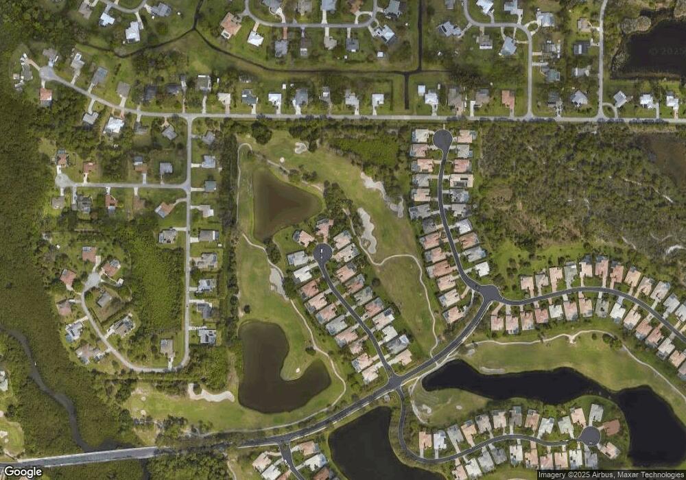
Map
Nearby Homes
- 1822 SE Beving Ave
- 3041 SE Dalhart Rd
- 3068 SE Darien Rd
- 3060 SE Darien Rd
- 1838 SE van Kleff Ave
- 3013 SE Darien Rd
- 3050 SE Bur St
- 3034 SE Dalhart Rd
- 1826 SE Killean Ct
- 1573 SE Prestwick Ln Unit 3
- 1573 SE Prestwick Ln Unit 3B
- 2319 NW Sunset Blvd
- 2950 SE Aba St
- 1899 SE Adair Rd
- 2082 SE Pyramid Rd
- 2042 SE Pyramid Rd
- 1792 SE Canora Rd
- 1449 SE Kentallon Ln
- 2672 NW South Shore Rd
- 2123 NW Winterberry Trail
- 2029 SE Oxton Dr
- 2025 SE Oxton Dr
- 2023 SE Oxton Dr
- 2030 SE Oxton Dr
- 2028 SE Oxton Dr
- 2021 SE Oxton Dr
- 2024 SE Oxton Dr
- 2022 SE Oxton Dr
- 2017 SE Oxton Dr
- 2220 SE Stonehaven Rd
- 2018 SE Oxton Dr
- 2222 SE Stonehaven Rd
- 2015 SE Oxton Dr
- 2216 SE Stonehaven Rd
- 2224 SE Stonehaven Rd
- 2214 SE Stonehaven Rd
- 2212 SE Stonehaven Rd
- 2013 SE Oxton Dr
- 2226 SE Stonehaven Rd
- 2014 SE Oxton Dr