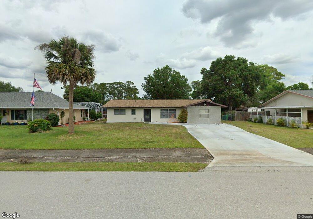
20276 Tralee Dr Port Charlotte, FL 33952
Estimated Value: $203,369 - $266,000
2
Beds
2
Baths
1,131
Sq Ft
$207/Sq Ft
Est. Value
About This Home
This home is located at 20276 Tralee Dr, Port Charlotte, FL 33952 and is currently estimated at $233,592, approximately $206 per square foot. 20276 Tralee Dr is a home located in Charlotte County with nearby schools including Neil Armstrong Elementary School, Murdock Middle School, and Port Charlotte High School.
Ownership History
Date
Name
Owned For
Owner Type
Purchase Details
Closed on
Dec 13, 2019
Sold by
Barrett Michael R
Bought by
Barrett Michael R and Barrett Donna L
Current Estimated Value
Purchase Details
Closed on
Apr 18, 2014
Sold by
Barrett Ronald C
Bought by
Barrett Michael R
Purchase Details
Closed on
Apr 9, 2014
Sold by
Oleckna Stanley E
Bought by
Barrett Michael R
Purchase Details
Closed on
Apr 7, 2014
Sold by
Oleckna Stanley J
Bought by
Barrett Michael R
Create a Home Valuation Report for This Property
The Home Valuation Report is an in-depth analysis detailing your home's value as well as a comparison with similar homes in the area
Home Values in the Area
Average Home Value in this Area
Purchase History
| Date | Buyer | Sale Price | Title Company |
|---|---|---|---|
| Barrett Michael R | -- | None Available | |
| Barrett Michael R | -- | Attorney | |
| Barrett Michael R | -- | Attorney | |
| Barrett Michael R | -- | Attorney |
Source: Public Records
Tax History Compared to Growth
Tax History
| Year | Tax Paid | Tax Assessment Tax Assessment Total Assessment is a certain percentage of the fair market value that is determined by local assessors to be the total taxable value of land and additions on the property. | Land | Improvement |
|---|---|---|---|---|
| 2023 | $2,075 | $125,208 | $0 | $0 |
| 2022 | $1,985 | $121,561 | $0 | $0 |
| 2021 | $1,970 | $118,020 | $5,355 | $112,665 |
| 2020 | $1,997 | $120,899 | $4,505 | $116,394 |
| 2019 | $2,438 | $115,824 | $4,675 | $111,149 |
| 2018 | $2,167 | $110,085 | $4,250 | $105,835 |
| 2017 | $1,978 | $91,104 | $4,216 | $86,888 |
| 2016 | $1,850 | $79,702 | $0 | $0 |
| 2015 | $1,724 | $72,456 | $0 | $0 |
| 2014 | $1,479 | $55,993 | $0 | $0 |
Source: Public Records
Map
Nearby Homes
- 1357 Nimrod St
- 1317 Arrow St
- 20260 Tralee Dr
- 20330 Emerald Ave
- 1302 Arrow St
- 20284 Emerald Ave
- 1366 Preston St
- 20297 Kinderkemac Ave
- 20246 Rutherford Ave
- 20296 Rutherford Ave
- 20307 Zelda Ave
- 20170 Tralee Dr
- 20190 Rutherford Ave
- 20246 Hamilton Ave
- 20191 Rutherford Ave
- 20214 Hamilton Ave
- 1381 Fargo St
- 20159 Holland Ave
- 1358 Fargo St
- 20118 Quesada Ave
- 20284 Tralee Dr
- 20268 Tralee Dr
- 20275 Emerald Ave
- 20283 Emerald Ave
- 20267 Emerald Ave
- 20269 Emerald Ave
- 20292 Tralee Dr
- 20251 Emerald Ave
- 20252 Tralee Dr
- 20267 Tralee Dr
- 20300 Tralee Dr
- 1333 Song St
- 20299 Emerald Ave
- 20268 Emerald Ave
- 20244 Tralee Dr
- 1325 Nimrod St
- 1333 Nimrod St
- 1342 Song St
- 20243 Emerald Ave
- 20243 Avenue