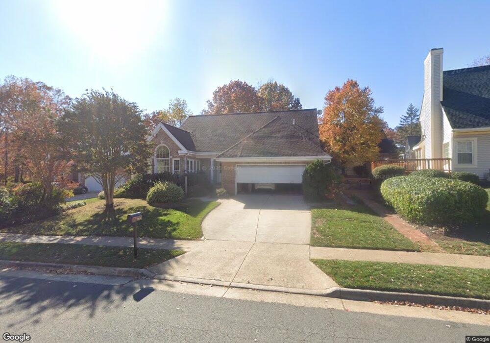
20279 Doswell Place Ashburn, VA 20147
Estimated Value: $859,754 - $923,000
--
Bed
3
Baths
2,188
Sq Ft
$407/Sq Ft
Est. Value
About This Home
This home is located at 20279 Doswell Place, Ashburn, VA 20147 and is currently estimated at $889,689, approximately $406 per square foot. 20279 Doswell Place is a home located in Loudoun County with nearby schools including Ashburn Elementary School, Farmwell Station Middle School, and Broad Run High School.
Ownership History
Date
Name
Owned For
Owner Type
Purchase Details
Closed on
Oct 1, 1997
Sold by
Quigley + Amy M
Bought by
Powell John and Powell Janice
Current Estimated Value
Home Financials for this Owner
Home Financials are based on the most recent Mortgage that was taken out on this home.
Original Mortgage
$160,000
Outstanding Balance
$25,616
Interest Rate
7.41%
Mortgage Type
New Conventional
Estimated Equity
$864,073
Create a Home Valuation Report for This Property
The Home Valuation Report is an in-depth analysis detailing your home's value as well as a comparison with similar homes in the area
Home Values in the Area
Average Home Value in this Area
Purchase History
| Date | Buyer | Sale Price | Title Company |
|---|---|---|---|
| Powell John | $200,000 | Island Title Corp |
Source: Public Records
Mortgage History
| Date | Status | Borrower | Loan Amount |
|---|---|---|---|
| Open | Powell John | $160,000 |
Source: Public Records
Tax History Compared to Growth
Tax History
| Year | Tax Paid | Tax Assessment Tax Assessment Total Assessment is a certain percentage of the fair market value that is determined by local assessors to be the total taxable value of land and additions on the property. | Land | Improvement |
|---|---|---|---|---|
| 2025 | $6,227 | $773,480 | $299,200 | $474,280 |
| 2024 | $6,287 | $726,800 | $294,200 | $432,600 |
| 2023 | $6,307 | $720,850 | $294,200 | $426,650 |
| 2022 | $6,122 | $687,840 | $269,200 | $418,640 |
| 2021 | $5,937 | $605,840 | $219,200 | $386,640 |
| 2020 | $5,904 | $570,440 | $197,600 | $372,840 |
| 2019 | $5,873 | $562,000 | $197,600 | $364,400 |
| 2018 | $5,527 | $509,420 | $177,600 | $331,820 |
| 2017 | $5,781 | $513,850 | $177,600 | $336,250 |
| 2016 | $5,930 | $517,900 | $0 | $0 |
| 2015 | $5,703 | $324,880 | $0 | $324,880 |
| 2014 | $5,572 | $304,800 | $0 | $304,800 |
Source: Public Records
Map
Nearby Homes
- 20250 Millstead Dr
- 44005 Gala Cir
- 20314 Snowpoint Place
- 44094 Gala Cir
- 43878 Camellia St
- 44049 Ferncliff Terrace
- 20278 Glenrobin Terrace
- 44004 Florence Terrace
- 20331 Susan Leslie Dr
- 20044 Crew Square
- 43820 Laurel Ridge Dr
- 44217 Navajo Dr
- 44049 Florence Terrace
- 44180 Shady Glen Terrace
- 20402 Cool Fern Square
- 20432 Cool Fern Square
- 20576 Ashburn Rd
- 44084 Natalie Terrace Unit 301
- 20593 Cornstalk Terrace Unit 101
- 20129 Valhalla Square
- 20283 Doswell Place
- 43989 Clary Ct
- 43985 Clary Ct
- 43981 Clary Ct
- 20278 Doswell Place
- 20274 Doswell Place
- 20282 Doswell Place
- 20291 Doswell Place
- 20270 Doswell Place
- 43988 Clary Ct
- 20286 Doswell Place
- 20290 Doswell Place
- 43984 Clary Ct
- 43975 Clary Ct
- 20266 Doswell Place
- 43980 Clary Ct
- 43979 Louisa Dr
- 43976 Clary Ct
- 44005 Louisa Dr
- 20320 Advantage Ct