2028 Byrdun Dr West Columbia, SC 29170
Estimated Value: $277,000 - $300,000
3
Beds
2
Baths
1,840
Sq Ft
$158/Sq Ft
Est. Value
About This Home
This home is located at 2028 Byrdun Dr, West Columbia, SC 29170 and is currently estimated at $291,306, approximately $158 per square foot. 2028 Byrdun Dr is a home located in Lexington County with nearby schools including Congaree Elementary School, R. H. Fulmer Middle, and Airport High School.
Ownership History
Date
Name
Owned For
Owner Type
Purchase Details
Closed on
Oct 15, 2021
Sold by
Kline Steven M and Kline Cynthia L
Bought by
Serra Lauren A
Current Estimated Value
Home Financials for this Owner
Home Financials are based on the most recent Mortgage that was taken out on this home.
Original Mortgage
$220,500
Outstanding Balance
$201,075
Interest Rate
2.8%
Mortgage Type
New Conventional
Estimated Equity
$90,231
Purchase Details
Closed on
Oct 27, 2017
Sold by
Cockrell Sonia
Bought by
Kline Steven M and Kline Cynthia L
Home Financials for this Owner
Home Financials are based on the most recent Mortgage that was taken out on this home.
Original Mortgage
$30,000
Interest Rate
3.83%
Mortgage Type
New Conventional
Purchase Details
Closed on
Jul 22, 2005
Sold by
Cockrell Dewey and Cockrell Sonia
Bought by
Cockrell Dewey and Cockrell Sonia
Create a Home Valuation Report for This Property
The Home Valuation Report is an in-depth analysis detailing your home's value as well as a comparison with similar homes in the area
Home Values in the Area
Average Home Value in this Area
Purchase History
| Date | Buyer | Sale Price | Title Company |
|---|---|---|---|
| Serra Lauren A | $245,000 | Harvey & Vallini Llc | |
| Kline Steven M | $162,500 | None Available | |
| Cockrell Dewey | -- | -- |
Source: Public Records
Mortgage History
| Date | Status | Borrower | Loan Amount |
|---|---|---|---|
| Open | Serra Lauren A | $220,500 | |
| Previous Owner | Kline Steven M | $30,000 |
Source: Public Records
Tax History Compared to Growth
Tax History
| Year | Tax Paid | Tax Assessment Tax Assessment Total Assessment is a certain percentage of the fair market value that is determined by local assessors to be the total taxable value of land and additions on the property. | Land | Improvement |
|---|---|---|---|---|
| 2024 | $1,402 | $9,208 | $1,008 | $8,200 |
| 2023 | $1,304 | $9,800 | $1,600 | $8,200 |
| 2022 | $1,389 | $9,800 | $1,600 | $8,200 |
| 2020 | $550 | $6,675 | $1,600 | $5,075 |
| 2019 | $538 | $6,500 | $1,200 | $5,300 |
| 2018 | $949 | $6,500 | $1,200 | $5,300 |
| 2017 | $322 | $5,092 | $800 | $4,292 |
| 2016 | $341 | $5,092 | $800 | $4,292 |
| 2014 | $213 | $5,162 | $700 | $4,462 |
| 2013 | -- | $5,160 | $700 | $4,460 |
Source: Public Records
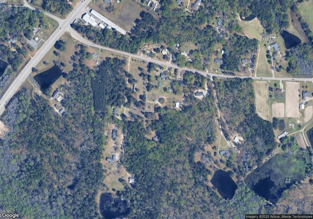
Map
Nearby Homes
- 4107 Platt Springs Rd
- 194 Eargle Dr
- 188 Hunters Mill Dr
- 248 Hunters Mill Dr
- 227 Turnfield Dr
- 3 Foxwood Ct
- 108 Laurel Hill Dr
- 104 Glad-Rik Ln
- 125 Laurel Hill Dr
- 0 Gerrie Ln
- 450 Laurel Mist Ln
- 458 Laurel Mist Ln
- 0 Emanuel Church Rd Unit 597985
- 109 Sedgewood Ln
- 604 Cedar Field Ln
- 465 Henslowe Ln
- 224 Partridge Ln
- 504 Henslowe Ln
- 114 Hickory Knob Ct
- 420 Congaree Ridge Ct
- 550 E Steele Rd
- 556 E Steele Rd
- 2030 Byrdun Dr
- 524 E Steele Rd
- 553 E Steele Rd
- 537 E Steele Rd
- 541 E Steele Rd
- 551 E Steele Rd
- 531 E Steele Rd
- 526 E Steele Rd
- 565 E Steele Rd
- 580 E Steele Rd
- 510 E Steele Rd
- 615 E Steele Rd
- 569 E Steele Rd
- 4212 Davon Dr
- 4325 Platt Springs Rd
- 4325 Platt Springs Rd
- 4113 Davon Dr
- 4283 Platt Springs Rd