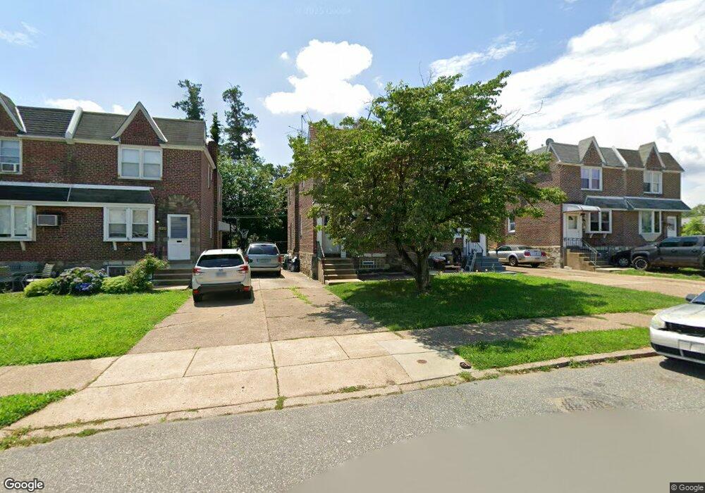
2028 Fuller St Philadelphia, PA 19152
Rhawnhurst NeighborhoodEstimated Value: $267,000 - $309,172
--
Bed
--
Bath
1,166
Sq Ft
$248/Sq Ft
Est. Value
About This Home
This home is located at 2028 Fuller St, Philadelphia, PA 19152 and is currently estimated at $288,793, approximately $247 per square foot. 2028 Fuller St is a home located in Philadelphia County with nearby schools including Farrell Louis H School, Northeast High School, and Tacony Academy Charter School.
Ownership History
Date
Name
Owned For
Owner Type
Purchase Details
Closed on
Apr 4, 2025
Sold by
Tribuiani Jean and Tribuiani Jean T
Bought by
Paiano Jenna
Current Estimated Value
Home Financials for this Owner
Home Financials are based on the most recent Mortgage that was taken out on this home.
Original Mortgage
$212,000
Outstanding Balance
$211,095
Interest Rate
6.85%
Mortgage Type
New Conventional
Estimated Equity
$77,698
Purchase Details
Closed on
Dec 15, 1966
Bought by
Frank Frank C and Frank Jean
Create a Home Valuation Report for This Property
The Home Valuation Report is an in-depth analysis detailing your home's value as well as a comparison with similar homes in the area
Home Values in the Area
Average Home Value in this Area
Purchase History
| Date | Buyer | Sale Price | Title Company |
|---|---|---|---|
| Paiano Jenna | $265,000 | None Listed On Document | |
| Frank Frank C | -- | -- |
Source: Public Records
Mortgage History
| Date | Status | Borrower | Loan Amount |
|---|---|---|---|
| Open | Paiano Jenna | $212,000 |
Source: Public Records
Tax History Compared to Growth
Tax History
| Year | Tax Paid | Tax Assessment Tax Assessment Total Assessment is a certain percentage of the fair market value that is determined by local assessors to be the total taxable value of land and additions on the property. | Land | Improvement |
|---|---|---|---|---|
| 2025 | $2,905 | $260,600 | $52,120 | $208,480 |
| 2024 | $2,905 | $260,600 | $52,120 | $208,480 |
| 2023 | $2,905 | $207,500 | $41,500 | $166,000 |
| 2022 | $2,275 | $162,500 | $41,500 | $121,000 |
| 2021 | $2,433 | $0 | $0 | $0 |
| 2020 | $2,433 | $0 | $0 | $0 |
| 2019 | $2,214 | $0 | $0 | $0 |
| 2018 | $1,623 | $0 | $0 | $0 |
| 2017 | $2,115 | $0 | $0 | $0 |
| 2016 | $1,623 | $0 | $0 | $0 |
| 2015 | $1,623 | $0 | $0 | $0 |
| 2014 | -- | $151,100 | $40,250 | $110,850 |
| 2012 | -- | $22,176 | $2,411 | $19,765 |
Source: Public Records
Map
Nearby Homes
- 2123 Loney St
- 2029 Loney St
- 2232 Stanwood St
- 1931 33 Rhawn St
- 2302 Rhawn St
- 2301 Ripley St
- 1917 Griffith St
- 2230 Emerson St
- 2223 Emerson St
- 7912 14 Loretto Ave
- 2345 Ripley St
- 2023 Hartel Ave
- 2155 Benson St
- 2321 Emerson St
- 2162 Strahle St
- 7815 Horrocks St
- 1919 Lansing St
- 1718 Rhawn St
- 2201 Strahle St Unit C302
- 1719 Loney St
- 2026 Fuller St
- 2030 Fuller St
- 2024 Fuller St
- 2032 Fuller St
- 2022 Fuller St
- 2039 Rhawn St
- 8016 Large St
- 8014 Large St
- 8018 Large St
- 8012 Large St
- 2041 Rhawn St
- 2033 Fuller St
- 2031 Fuller St
- 2043 Rhawn St Unit 45
- 2035 Fuller St
- 2029 Fuller St
- 2037 Fuller St
- 2027 Fuller St
- 2043-45 Rhawn St
- 2043 Rhawn Street 45