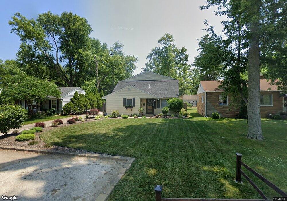
2028 Hogarth Rd Toledo, OH 43615
Reynolds Corners NeighborhoodEstimated Value: $162,187 - $189,000
2
Beds
2
Baths
1,390
Sq Ft
$124/Sq Ft
Est. Value
About This Home
This home is located at 2028 Hogarth Rd, Toledo, OH 43615 and is currently estimated at $171,797, approximately $123 per square foot. 2028 Hogarth Rd is a home located in Lucas County with nearby schools including Hawkins Elementary School, Rogers High School, and Victory Academy of Toledo.
Ownership History
Date
Name
Owned For
Owner Type
Purchase Details
Closed on
Jan 4, 2011
Sold by
Greater Metropolitan Title Llc
Bought by
Duncan Michael
Current Estimated Value
Purchase Details
Closed on
Nov 2, 2010
Sold by
Obermyer Christine L
Bought by
Greater Metropolitan Title Llc
Purchase Details
Closed on
Sep 12, 2006
Sold by
Brandenburg James L
Bought by
Obermyer Christine L and Brandenburg Christine L
Purchase Details
Closed on
Jul 27, 1992
Sold by
Cohan Kurt J
Purchase Details
Closed on
Apr 9, 1990
Sold by
Mitchell John G and Mitchell Sheryl
Create a Home Valuation Report for This Property
The Home Valuation Report is an in-depth analysis detailing your home's value as well as a comparison with similar homes in the area
Home Values in the Area
Average Home Value in this Area
Purchase History
| Date | Buyer | Sale Price | Title Company |
|---|---|---|---|
| Duncan Michael | $44,300 | Greater Metropolitan Title L | |
| Greater Metropolitan Title Llc | $25,491 | Attorney | |
| Obermyer Christine L | -- | Attorney | |
| -- | $54,900 | -- | |
| -- | $53,500 | -- |
Source: Public Records
Tax History
| Year | Tax Paid | Tax Assessment Tax Assessment Total Assessment is a certain percentage of the fair market value that is determined by local assessors to be the total taxable value of land and additions on the property. | Land | Improvement |
|---|---|---|---|---|
| 2025 | -- | $37,205 | $6,125 | $31,080 |
| 2024 | $1,166 | $37,205 | $6,125 | $31,080 |
| 2023 | $1,977 | $29,925 | $4,550 | $25,375 |
| 2022 | $1,961 | $29,925 | $4,550 | $25,375 |
| 2021 | $2,026 | $29,925 | $4,550 | $25,375 |
| 2020 | $1,921 | $24,745 | $3,780 | $20,965 |
| 2019 | $1,862 | $24,745 | $3,780 | $20,965 |
| 2018 | $1,821 | $24,745 | $3,780 | $20,965 |
| 2017 | $1,755 | $22,400 | $5,460 | $16,940 |
| 2016 | $1,765 | $64,000 | $15,600 | $48,400 |
| 2015 | $1,778 | $64,000 | $15,600 | $48,400 |
| 2014 | $1,409 | $22,400 | $5,460 | $16,940 |
| 2013 | $1,409 | $22,400 | $5,460 | $16,940 |
Source: Public Records
Map
Nearby Homes
- 1923 Eileen Rd
- 4709 W Bancroft St
- 4705 W Bancroft St
- 2009 Willowhill Ln
- 1909 Atwood Rd
- 4923 Cranston Dr
- 4521 W Bancroft St
- 5041 Ancil Rd
- 4057 Hillandale Rd
- 2203 Innisbrook Rd
- 3 Stableside S
- 4309 Brookside Rd
- 5057 Brandon Rd
- 5123 Regency Dr
- 15 Stableside N
- 710 Hilltop Ln
- 1021 Richards Rd
- 914 Sawyer Rd
- 4028 Brookside Rd
- 806 Clifton Blvd
Your Personal Tour Guide
Ask me questions while you tour the home.