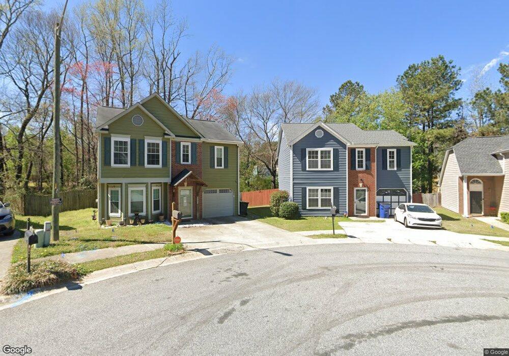
2028 Mcewen Cir Unit 1 Austell, GA 30168
Estimated Value: $269,000 - $300,000
3
Beds
3
Baths
1,626
Sq Ft
$171/Sq Ft
Est. Value
About This Home
This home is located at 2028 Mcewen Cir Unit 1, Austell, GA 30168 and is currently estimated at $277,693, approximately $170 per square foot. 2028 Mcewen Cir Unit 1 is a home located in Cobb County with nearby schools including Bryant Elementary School, Lindley Middle School, and Pebblebrook High School.
Ownership History
Date
Name
Owned For
Owner Type
Purchase Details
Closed on
Jun 30, 1999
Sold by
King Latabatha L
Bought by
Fonda Micheele
Current Estimated Value
Home Financials for this Owner
Home Financials are based on the most recent Mortgage that was taken out on this home.
Original Mortgage
$95,711
Outstanding Balance
$25,617
Interest Rate
7.23%
Mortgage Type
FHA
Estimated Equity
$252,076
Create a Home Valuation Report for This Property
The Home Valuation Report is an in-depth analysis detailing your home's value as well as a comparison with similar homes in the area
Home Values in the Area
Average Home Value in this Area
Purchase History
| Date | Buyer | Sale Price | Title Company |
|---|---|---|---|
| Fonda Micheele | $96,500 | -- |
Source: Public Records
Mortgage History
| Date | Status | Borrower | Loan Amount |
|---|---|---|---|
| Open | Fonda Micheele | $95,711 |
Source: Public Records
Tax History Compared to Growth
Tax History
| Year | Tax Paid | Tax Assessment Tax Assessment Total Assessment is a certain percentage of the fair market value that is determined by local assessors to be the total taxable value of land and additions on the property. | Land | Improvement |
|---|---|---|---|---|
| 2025 | $2,421 | $111,120 | $24,000 | $87,120 |
| 2024 | $2,424 | $111,120 | $24,000 | $87,120 |
| 2023 | $1,534 | $95,136 | $16,000 | $79,136 |
| 2022 | $2,094 | $95,136 | $16,000 | $79,136 |
| 2021 | $1,448 | $65,620 | $9,600 | $56,020 |
| 2020 | $1,309 | $59,296 | $7,800 | $51,496 |
| 2019 | $1,109 | $50,152 | $7,800 | $42,352 |
| 2018 | $1,109 | $50,152 | $7,800 | $42,352 |
| 2017 | $852 | $40,072 | $7,800 | $32,272 |
| 2016 | $659 | $31,816 | $6,000 | $25,816 |
| 2015 | $582 | $28,592 | $6,000 | $22,592 |
| 2014 | $276 | $18,136 | $0 | $0 |
Source: Public Records
Map
Nearby Homes
- 6718 Roscommon Dr
- 6627 Coventry Point
- 1972 Cox Dr Unit 5
- 2072 Woodbine Cir
- 6445 Sherwood Trail
- 6595 Malvin Dr
- 6651 Malvin Dr
- 1576 S Gordon Rd
- 6356 Fitzgerald Ln
- 6992 Ivy Pointe Row
- 6675 S Dillon Rd
- 2023 Lee Dr
- 2414 Old Alabama Rd
- 6854 Panda Ct Unit A
- 6084 S Gordon Rd
- 6811 Panda Dr Unit A
- 1825 Witt Cir
- 1507 Locust Log Way
- 1682 Walton Reserve Blvd
- 2030 Mcewen Cir
- 2026 Mcewen Cir
- 6590 Coventry Point
- 2024 N McEven Cir
- N Mcewen Cir
- 6594 Coventry Point Unit 2
- 2031 Mcewen Cir Unit 1
- 2024 Mcewen Cir
- 6592 Coventry Point Unit 1
- 2001 Mcewen Cir
- 6588 Coventry Point
- 6586 Coventry Point
- 6596 Coventry Point Unit 2
- 2022 Mcewen Cir
- 2029 Mcewen Cir
- 6702 Roscommon Dr
- 6584 Coventry Point
- 6598 Coventry Point Unit 2
- 2016 Mcewen Cir Unit 1
- 6704 Roscommon Dr Unit 3