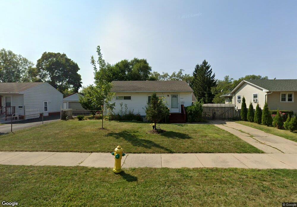
2028 Miami Rd Waukegan, IL 60087
Lake Cogardens NeighborhoodEstimated Value: $174,000 - $213,000
2
Beds
1
Bath
768
Sq Ft
$264/Sq Ft
Est. Value
About This Home
This home is located at 2028 Miami Rd, Waukegan, IL 60087 and is currently estimated at $202,537, approximately $263 per square foot. 2028 Miami Rd is a home located in Lake County with nearby schools including Oakdale Elementary School, Miguel Juarez Middle School, and Waukegan High School.
Ownership History
Date
Name
Owned For
Owner Type
Purchase Details
Closed on
Jun 25, 2004
Sold by
Webb Richard D and Webb Joy M
Bought by
Sanchez Fernando and Figueroa Sanchez Lilia
Current Estimated Value
Home Financials for this Owner
Home Financials are based on the most recent Mortgage that was taken out on this home.
Original Mortgage
$108,000
Outstanding Balance
$52,714
Interest Rate
5.87%
Mortgage Type
Purchase Money Mortgage
Estimated Equity
$149,823
Create a Home Valuation Report for This Property
The Home Valuation Report is an in-depth analysis detailing your home's value as well as a comparison with similar homes in the area
Home Values in the Area
Average Home Value in this Area
Purchase History
| Date | Buyer | Sale Price | Title Company |
|---|---|---|---|
| Sanchez Fernando | $135,000 | -- |
Source: Public Records
Mortgage History
| Date | Status | Borrower | Loan Amount |
|---|---|---|---|
| Open | Sanchez Fernando | $108,000 | |
| Closed | Sanchez Fernando | $13,500 |
Source: Public Records
Tax History Compared to Growth
Tax History
| Year | Tax Paid | Tax Assessment Tax Assessment Total Assessment is a certain percentage of the fair market value that is determined by local assessors to be the total taxable value of land and additions on the property. | Land | Improvement |
|---|---|---|---|---|
| 2024 | $4,062 | $56,537 | $8,247 | $48,290 |
| 2023 | $3,569 | $51,076 | $7,450 | $43,626 |
| 2022 | $3,569 | $42,505 | $7,098 | $35,407 |
| 2021 | $3,248 | $37,150 | $6,145 | $31,005 |
| 2020 | $3,243 | $34,610 | $5,725 | $28,885 |
| 2019 | $3,211 | $31,714 | $5,246 | $26,468 |
| 2018 | $2,500 | $25,715 | $6,682 | $19,033 |
| 2017 | $2,383 | $22,751 | $5,912 | $16,839 |
| 2016 | $2,128 | $19,769 | $5,137 | $14,632 |
| 2015 | $1,975 | $17,694 | $4,598 | $13,096 |
| 2014 | $2,293 | $19,092 | $5,046 | $14,046 |
| 2012 | $3,062 | $20,684 | $5,467 | $15,217 |
Source: Public Records
Map
Nearby Homes
- 2928 W Country Club Ave
- 3000 W Country Club Ave
- 2946 W Country Club Ave
- 2715 W Greenwood Ave
- 2713 Varonen Ave
- 1913 Chippewa Rd
- 2440 W Cheyenne Rd
- 3320 Sunset Ave
- 2705 Dana Ave
- 2708 Dana Ave
- 2810 W Atlantic Ave
- 3032 W Vermont Ave
- 2207 Williamsburg Dr
- 36955 N Garrick Ave
- 12352 W Atlantic Ave
- 12933 W Polo Ave
- 2813 Theresa Ave
- 2350 N Lewis Ave
- 2008 Harding Ave
- 12312 W Audrey Ave
- 2032 Miami Rd Unit 2
- 2024 Miami Rd
- 2031 Indian Rd
- 2027 Indian Rd
- 2020 Miami Rd
- 2100 Miami Rd
- 2023 Indian Rd
- 2101 Indian Rd
- 2027 Miami Rd
- 2031 Miami Rd
- 2023 Miami Rd
- 2019 Indian Rd Unit 2
- 2105 Indian Rd
- 2016 Miami Rd Unit 2
- 2019 Miami Rd
- 2720 Iroquois Rd
- 2015 Indian Rd
- 2711 Iroquois Rd
- 2109 Indian Rd
- 2109 Indian Rd Unit Rd