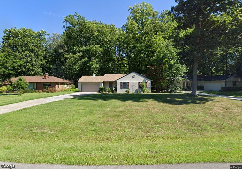
2028 Natona Rd Euclid, OH 44117
Estimated Value: $172,000 - $194,000
3
Beds
2
Baths
1,580
Sq Ft
$118/Sq Ft
Est. Value
About This Home
This home is located at 2028 Natona Rd, Euclid, OH 44117 and is currently estimated at $186,669, approximately $118 per square foot. 2028 Natona Rd is a home located in Cuyahoga County with nearby schools including Bluestone Elementary School, Euclid Middle School, and Euclid High School.
Ownership History
Date
Name
Owned For
Owner Type
Purchase Details
Closed on
Feb 17, 1994
Sold by
Debelak Robert W
Bought by
Hunter Joyce
Current Estimated Value
Purchase Details
Closed on
May 20, 1988
Sold by
Thompson Stephen C
Bought by
Debelak Robert W
Purchase Details
Closed on
May 10, 1978
Sold by
Dackor Gloria J
Bought by
Thompson Stephen C
Purchase Details
Closed on
Jan 27, 1977
Sold by
Dackor Gary P and Dackor Gloria J
Bought by
Dackor Gloria J
Purchase Details
Closed on
Sep 8, 1975
Sold by
Mulhollan Edgar A and Mulhollan Edith A
Bought by
Dackor Gary P and Dackor Gloria J
Purchase Details
Closed on
Jan 1, 1975
Bought by
Mulhollan Edgar A and Mulhollan Edith A
Create a Home Valuation Report for This Property
The Home Valuation Report is an in-depth analysis detailing your home's value as well as a comparison with similar homes in the area
Home Values in the Area
Average Home Value in this Area
Purchase History
| Date | Buyer | Sale Price | Title Company |
|---|---|---|---|
| Hunter Joyce | $88,600 | -- | |
| Debelak Robert W | $73,800 | -- | |
| Thompson Stephen C | $66,000 | -- | |
| Dackor Gloria J | -- | -- | |
| Dackor Gary P | $50,900 | -- | |
| Mulhollan Edgar A | -- | -- |
Source: Public Records
Tax History Compared to Growth
Tax History
| Year | Tax Paid | Tax Assessment Tax Assessment Total Assessment is a certain percentage of the fair market value that is determined by local assessors to be the total taxable value of land and additions on the property. | Land | Improvement |
|---|---|---|---|---|
| 2024 | $3,676 | $54,705 | $12,250 | $42,455 |
| 2023 | $3,610 | $43,020 | $9,560 | $33,460 |
| 2022 | $3,526 | $43,015 | $9,555 | $33,460 |
| 2021 | $3,933 | $43,020 | $9,560 | $33,460 |
| 2020 | $3,286 | $32,590 | $7,250 | $25,340 |
| 2019 | $2,973 | $93,100 | $20,700 | $72,400 |
| 2018 | $3,001 | $32,590 | $7,250 | $25,340 |
| 2017 | $3,090 | $28,040 | $5,740 | $22,300 |
| 2016 | $2,677 | $24,120 | $5,740 | $18,380 |
| 2015 | $2,482 | $24,120 | $5,740 | $18,380 |
| 2014 | $2,482 | $24,120 | $5,740 | $18,380 |
Source: Public Records
Map
Nearby Homes
- 2441 Malden Rd
- 2150 Glenridge Rd
- 2337 Greenvale Rd
- 19871 Upper Valley Dr
- 19201 Shawnee Rd
- 19201 Genesee Rd
- 2536 Greenvale Rd
- 2217 Belvoir Blvd
- 1777 Catalpa Rd
- 24 Washington Square
- 3803 Bridgeview Dr
- 209 Greenbriar Ct
- 237 Greenbriar Ct Unit F237
- 1721 Grand Blvd
- 1897 Torbenson Dr
- 4002 Lancaster Rd
- 565 Quilliams Rd
- 3757 Princeton Blvd
- 1849 Torbenson Dr
- 1707 Catalpa Rd
- 2026 Natona Rd
- 2030 Natona Rd
- 2024 Natona Rd
- 2032 Natona Rd
- 2022 Natona Rd
- 2034 Miami Rd
- 2020 Natona Rd
- 2022 Sagamore Dr
- 2029 Natona Rd
- 2026 Sagamore Dr
- 2027 Natona Rd
- 2036 Miami Rd
- 2018 Natona Rd
- 2020 Sagamore Dr
- 2025 Natona Rd
- 2035 Natona Rd
- 2016 Natona Rd
- 2012 Sagamore Dr
- 2023 Natona Rd
- 2047 Miami Rd