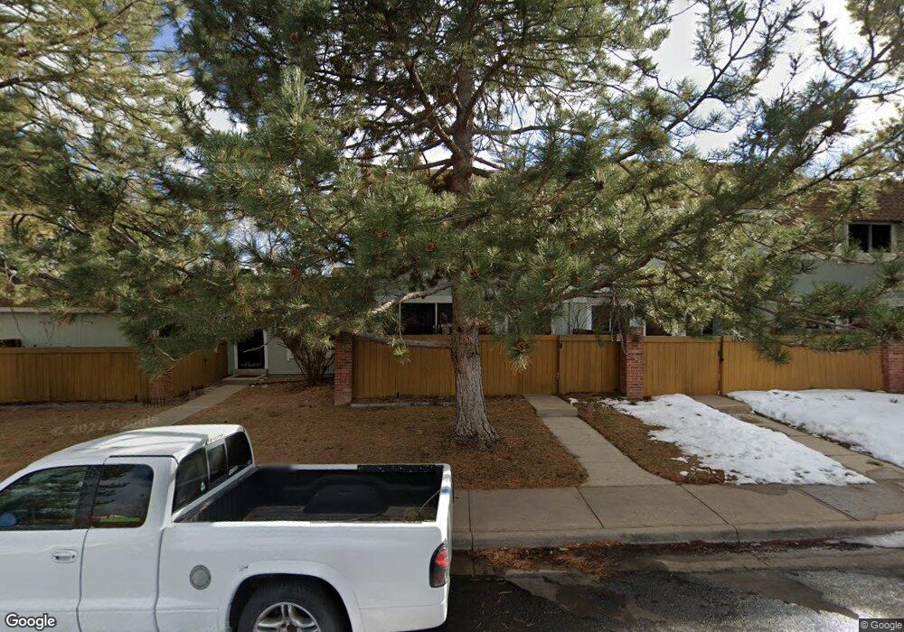
2028 W 101st Ave Thornton, CO 80260
Estimated Value: $312,000 - $340,042
3
Beds
3
Baths
1,334
Sq Ft
$247/Sq Ft
Est. Value
About This Home
This home is located at 2028 W 101st Ave, Thornton, CO 80260 and is currently estimated at $329,761, approximately $247 per square foot. 2028 W 101st Ave is a home located in Adams County with nearby schools including Hillcrest Elementary School, Silver Hills Middle School, and Northglenn High School.
Ownership History
Date
Name
Owned For
Owner Type
Purchase Details
Closed on
Aug 21, 2015
Sold by
Villhauer Gerald H
Bought by
Kaessner Danielle
Current Estimated Value
Home Financials for this Owner
Home Financials are based on the most recent Mortgage that was taken out on this home.
Original Mortgage
$171,830
Outstanding Balance
$137,263
Interest Rate
4.5%
Mortgage Type
FHA
Estimated Equity
$192,498
Purchase Details
Closed on
Jun 13, 2003
Sold by
Villhauer Gerald H and Villhauer Rebecca K
Bought by
Villhauer Gerald H and Villhauer Rebecca K
Purchase Details
Closed on
Aug 9, 2002
Sold by
Goad Heather L and Goad Ann Alicia
Bought by
Villhauer Gerald H and Villhauer Rebecca K
Home Financials for this Owner
Home Financials are based on the most recent Mortgage that was taken out on this home.
Original Mortgage
$146,726
Interest Rate
8.3%
Purchase Details
Closed on
Jun 29, 1999
Sold by
Jevons John L and Jevons Corrine J
Bought by
Goad Heather L and Goad Ann Alicia
Home Financials for this Owner
Home Financials are based on the most recent Mortgage that was taken out on this home.
Original Mortgage
$114,750
Interest Rate
7.21%
Mortgage Type
FHA
Purchase Details
Closed on
Apr 18, 1997
Sold by
Gargarini John L
Bought by
Jevons John L and Jevons Corrine J
Home Financials for this Owner
Home Financials are based on the most recent Mortgage that was taken out on this home.
Original Mortgage
$76,000
Interest Rate
7.82%
Purchase Details
Closed on
Sep 10, 1996
Sold by
Shomette Gregory C and Shomette Pauline F
Bought by
Garbarini John L
Purchase Details
Closed on
Feb 14, 1995
Sold by
Garbarini John L and Garbarini Helen
Bought by
Shomette Gregory C and Shomette Pauline F
Home Financials for this Owner
Home Financials are based on the most recent Mortgage that was taken out on this home.
Original Mortgage
$73,800
Interest Rate
9.14%
Mortgage Type
Seller Take Back
Purchase Details
Closed on
Jun 22, 1992
Create a Home Valuation Report for This Property
The Home Valuation Report is an in-depth analysis detailing your home's value as well as a comparison with similar homes in the area
Home Values in the Area
Average Home Value in this Area
Purchase History
| Date | Buyer | Sale Price | Title Company |
|---|---|---|---|
| Kaessner Danielle | $175,000 | Fidelity National Title Ins | |
| Villhauer Gerald H | -- | -- | |
| Villhauer Gerald H | $154,448 | Land Title Guarantee Company | |
| Goad Heather L | $115,000 | -- | |
| Jevons John L | $95,000 | First American Heritage Titl | |
| Garbarini John L | $79,290 | First American Heritage Titl | |
| Shomette Gregory C | $82,000 | First American Heritage Titl | |
| -- | -- | -- |
Source: Public Records
Mortgage History
| Date | Status | Borrower | Loan Amount |
|---|---|---|---|
| Open | Kaessner Danielle | $171,830 | |
| Previous Owner | Villhauer Gerald H | $146,726 | |
| Previous Owner | Goad Heather L | $114,750 | |
| Previous Owner | Jevons John L | $76,000 | |
| Previous Owner | Shomette Gregory C | $73,800 |
Source: Public Records
Tax History Compared to Growth
Tax History
| Year | Tax Paid | Tax Assessment Tax Assessment Total Assessment is a certain percentage of the fair market value that is determined by local assessors to be the total taxable value of land and additions on the property. | Land | Improvement |
|---|---|---|---|---|
| 2024 | $2,263 | $21,440 | $4,560 | $16,880 |
| 2023 | $2,241 | $24,560 | $3,520 | $21,040 |
| 2022 | $2,099 | $18,210 | $3,610 | $14,600 |
| 2021 | $2,170 | $18,210 | $3,610 | $14,600 |
| 2020 | $2,069 | $17,730 | $3,720 | $14,010 |
| 2019 | $2,072 | $17,730 | $3,720 | $14,010 |
| 2018 | $1,654 | $13,730 | $1,440 | $12,290 |
| 2017 | $1,506 | $13,730 | $1,440 | $12,290 |
| 2016 | $1,275 | $11,300 | $1,590 | $9,710 |
| 2015 | $1,273 | $11,300 | $1,590 | $9,710 |
| 2014 | $1,020 | $8,800 | $1,590 | $7,210 |
Source: Public Records
Map
Nearby Homes
- 2029 W 102nd Ave
- 2012 W 101st Ave
- 2025 W 102nd Ave
- 1923 W 101st Ave
- 1945 W 102nd Ave
- 1935 W 102nd Ave
- 2123 W 101st Cir
- 10143 Quivas St
- 10072 Wyandott Cir S
- 1707 W 102nd Ave
- 10211 Ura Ln Unit 4-107
- 10211 Ura Ln Unit 204
- 10211 Ura Ln Unit 5-206
- 10211 Ura Ln Unit 6-307
- 10211 Ura Ln Unit 7-108
- 10211 Ura Ln Unit 104
- 10211 Ura Ln Unit 101
- 10211 Ura Ln Unit 7-204
- 10211 Ura Ln Unit 8-207
- 10204 Quivas St
- 2026 W 101st Ave
- 2036 W 101st Ave
- 2038 W 101st Ave
- 2022 W 101st Ave
- 2040 W 101st Ave
- 2044 W 101st Ave
- 2042 W 101st Ave
- 2032 W 101st Ave
- 2020 W 101st Ave
- 2018 W 101st Ave
- 2030 W 101st Ave
- 2034 W 101st Ave
- 2014 W 101st Ave
- 2006 W 101st Ave
- 2008 W 101st Ave
- 2004 W 101st Ave
- 1946 W 102nd Ave
- 2002 W 101st Ave
- 2043 W 102nd Ave
- 1951 W 102nd Ave