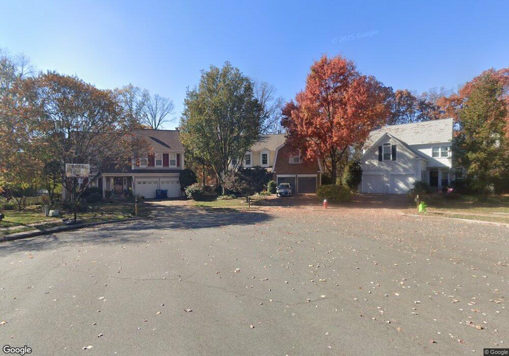
20281 Rosedale Ct Ashburn, VA 20147
Estimated Value: $920,000 - $984,000
4
Beds
4
Baths
3,676
Sq Ft
$258/Sq Ft
Est. Value
About This Home
This home is located at 20281 Rosedale Ct, Ashburn, VA 20147 and is currently estimated at $949,178, approximately $258 per square foot. 20281 Rosedale Ct is a home located in Loudoun County with nearby schools including Ashburn Elementary School, Farmwell Station Middle School, and Broad Run High School.
Ownership History
Date
Name
Owned For
Owner Type
Purchase Details
Closed on
Feb 26, 2008
Sold by
David R Tolston Tr
Bought by
Quick Phillip D
Current Estimated Value
Home Financials for this Owner
Home Financials are based on the most recent Mortgage that was taken out on this home.
Original Mortgage
$416,976
Outstanding Balance
$260,605
Interest Rate
5.8%
Mortgage Type
VA
Estimated Equity
$688,573
Create a Home Valuation Report for This Property
The Home Valuation Report is an in-depth analysis detailing your home's value as well as a comparison with similar homes in the area
Home Values in the Area
Average Home Value in this Area
Purchase History
| Date | Buyer | Sale Price | Title Company |
|---|---|---|---|
| Quick Phillip D | $550,000 | -- |
Source: Public Records
Mortgage History
| Date | Status | Borrower | Loan Amount |
|---|---|---|---|
| Open | Quick Phillip D | $416,976 |
Source: Public Records
Tax History Compared to Growth
Tax History
| Year | Tax Paid | Tax Assessment Tax Assessment Total Assessment is a certain percentage of the fair market value that is determined by local assessors to be the total taxable value of land and additions on the property. | Land | Improvement |
|---|---|---|---|---|
| 2025 | $6,903 | $857,470 | $299,400 | $558,070 |
| 2024 | $6,949 | $803,400 | $294,400 | $509,000 |
| 2023 | $6,916 | $790,360 | $294,400 | $495,960 |
| 2022 | $6,691 | $751,810 | $269,400 | $482,410 |
| 2021 | $6,409 | $653,980 | $219,400 | $434,580 |
| 2020 | $6,356 | $614,060 | $198,200 | $415,860 |
| 2019 | $6,299 | $602,730 | $198,200 | $404,530 |
| 2018 | $5,960 | $549,300 | $178,200 | $371,100 |
| 2017 | $6,034 | $536,360 | $178,200 | $358,160 |
| 2016 | $6,191 | $540,670 | $0 | $0 |
| 2015 | $5,829 | $335,330 | $0 | $335,330 |
| 2014 | $5,787 | $322,870 | $0 | $322,870 |
Source: Public Records
Map
Nearby Homes
- 20250 Millstead Dr
- 20314 Snowpoint Place
- 20278 Glenrobin Terrace
- 43878 Camellia St
- 44049 Ferncliff Terrace
- 44005 Gala Cir
- 20331 Susan Leslie Dr
- 44094 Gala Cir
- 43820 Laurel Ridge Dr
- 20044 Crew Square
- 44004 Florence Terrace
- 20576 Ashburn Rd
- 20129 Valhalla Square
- 44049 Florence Terrace
- 20231 Hidden Creek Ct
- 20153 Valhalla Square
- 44217 Navajo Dr
- 44180 Shady Glen Terrace
- 20402 Cool Fern Square
- 43582 Old Kinderhook Dr
- 20277 Rosedale Ct
- 20285 Rosedale Ct
- 20273 Rosedale Ct
- 20284 Rosedale Ct
- 20280 Rosedale Ct
- 20269 Rosedale Ct
- 20319 French Open Ct
- 20276 Rosedale Ct
- 20323 French Open Ct
- 20318 French Open Ct
- 20272 Rosedale Ct
- 20265 Rosedale Ct
- 20268 Rosedale Ct
- 43976 Clary Ct
- 20327 French Open Ct
- 20325 Advantage Ct
- 43980 Clary Ct
- 20322 French Open Ct
- 20205 Boxwood Place
- 20329 Advantage Ct