2029 Azimuth Ct Mount Pleasant, SC 29466
Oyster Point NeighborhoodEstimated Value: $1,875,000 - $3,166,000
4
Beds
5
Baths
4,900
Sq Ft
$503/Sq Ft
Est. Value
About This Home
This home is located at 2029 Azimuth Ct, Mount Pleasant, SC 29466 and is currently estimated at $2,462,681, approximately $502 per square foot. 2029 Azimuth Ct is a home located in Charleston County with nearby schools including Mamie Whitesides Elementary School, Moultrie Middle School, and Wando High School.
Ownership History
Date
Name
Owned For
Owner Type
Purchase Details
Closed on
Mar 16, 2016
Sold by
Lovingood Leslie L and Lovingood Charles Gordon
Bought by
Lovingood Leslie L and Lovingood Charles Gordon
Current Estimated Value
Home Financials for this Owner
Home Financials are based on the most recent Mortgage that was taken out on this home.
Original Mortgage
$902,500
Outstanding Balance
$704,681
Interest Rate
3.25%
Mortgage Type
Adjustable Rate Mortgage/ARM
Estimated Equity
$1,758,000
Purchase Details
Closed on
Jan 11, 2012
Sold by
Lovingood Charles Gordon and Lovingood Gordon
Bought by
Lovingood Leslie L
Purchase Details
Closed on
Sep 18, 2003
Sold by
Baker Sara P
Bought by
Lovingood Gordon
Purchase Details
Closed on
Aug 19, 1999
Sold by
Frisby Nancy And Tnt Resources Inc
Bought by
Baker Frank L and Baker Sara P
Create a Home Valuation Report for This Property
The Home Valuation Report is an in-depth analysis detailing your home's value as well as a comparison with similar homes in the area
Home Values in the Area
Average Home Value in this Area
Purchase History
| Date | Buyer | Sale Price | Title Company |
|---|---|---|---|
| Lovingood Leslie L | -- | None Available | |
| Lovingood Leslie L | -- | -- | |
| Lovingood Gordon | $600,000 | -- | |
| Baker Frank L | $695,000 | -- |
Source: Public Records
Mortgage History
| Date | Status | Borrower | Loan Amount |
|---|---|---|---|
| Open | Lovingood Leslie L | $902,500 |
Source: Public Records
Tax History Compared to Growth
Tax History
| Year | Tax Paid | Tax Assessment Tax Assessment Total Assessment is a certain percentage of the fair market value that is determined by local assessors to be the total taxable value of land and additions on the property. | Land | Improvement |
|---|---|---|---|---|
| 2024 | $5,046 | $49,680 | $0 | $0 |
| 2023 | $5,046 | $49,680 | $0 | $0 |
| 2022 | $4,729 | $49,680 | $0 | $0 |
| 2021 | $5,002 | $49,680 | $0 | $0 |
| 2020 | $5,151 | $49,680 | $0 | $0 |
| 2019 | $4,728 | $44,160 | $0 | $0 |
| 2017 | $4,789 | $46,160 | $0 | $0 |
| 2016 | $4,577 | $46,160 | $0 | $0 |
| 2015 | $4,818 | $46,160 | $0 | $0 |
| 2014 | $4,199 | $0 | $0 | $0 |
| 2011 | -- | $0 | $0 | $0 |
Source: Public Records
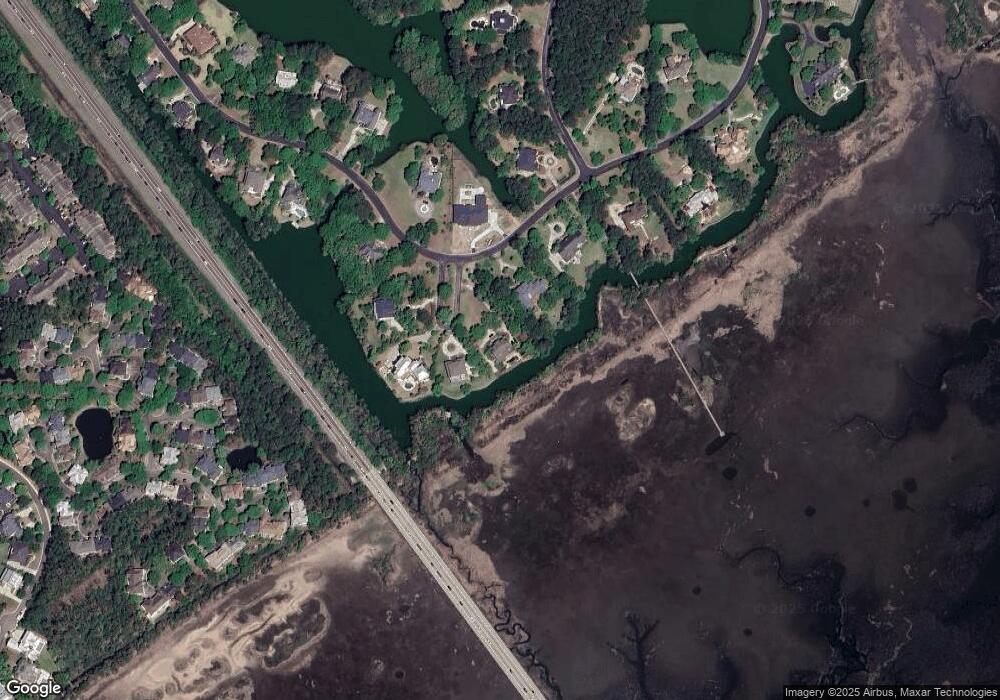
Map
Nearby Homes
- 1663 Omni Blvd
- 1904 English Ivy Ct
- 1509 Fig Vine Ct
- 1564 Sea Palms Crescent
- 1529 Sea Palms Crescent
- 1784 Omni Blvd
- 1600 Long Grove Dr Unit 913
- 1600 Long Grove Dr Unit 1226
- 1600 Long Grove Dr Unit 1115
- 1600 Long Grove Dr Unit 914
- 1573 Red Tide Rd
- 1536 Keshi Pearl Dr
- 1486 Diamond Blvd
- 1478 Diamond Blvd
- 1613 Fort Palmetto Cir
- 2373 Cross Timbers Dr
- 2130 Oyster Reef Ln
- 1432 Dahlia Rd
- 1432 Dahlia Dr
- 1427 Dahlia Rd
- 1720 Omni Blvd
- 2021 Azimuth Ct
- 0 Azimuth Ct
- 2026 Azimuth Ct
- 2022 Azimuth Ct
- 1708 Omni Blvd
- 0 Omni Blvd
- 2028 Azimuth Ct
- 2026 Azmith Ct
- 1740 Omni Blvd
- 1739 Omni Blvd
- 1707 Omni Blvd
- 1678 Omni Blvd
- 1668 Omni Blvd
- 1635 Aztec Ln
- 1758 Omni Blvd
- 1921 Grandview Ct
- 1921 Grandview Ct Unit 52
- 1925 Grandview Ct
- 1925 Grandview Ct Unit 51