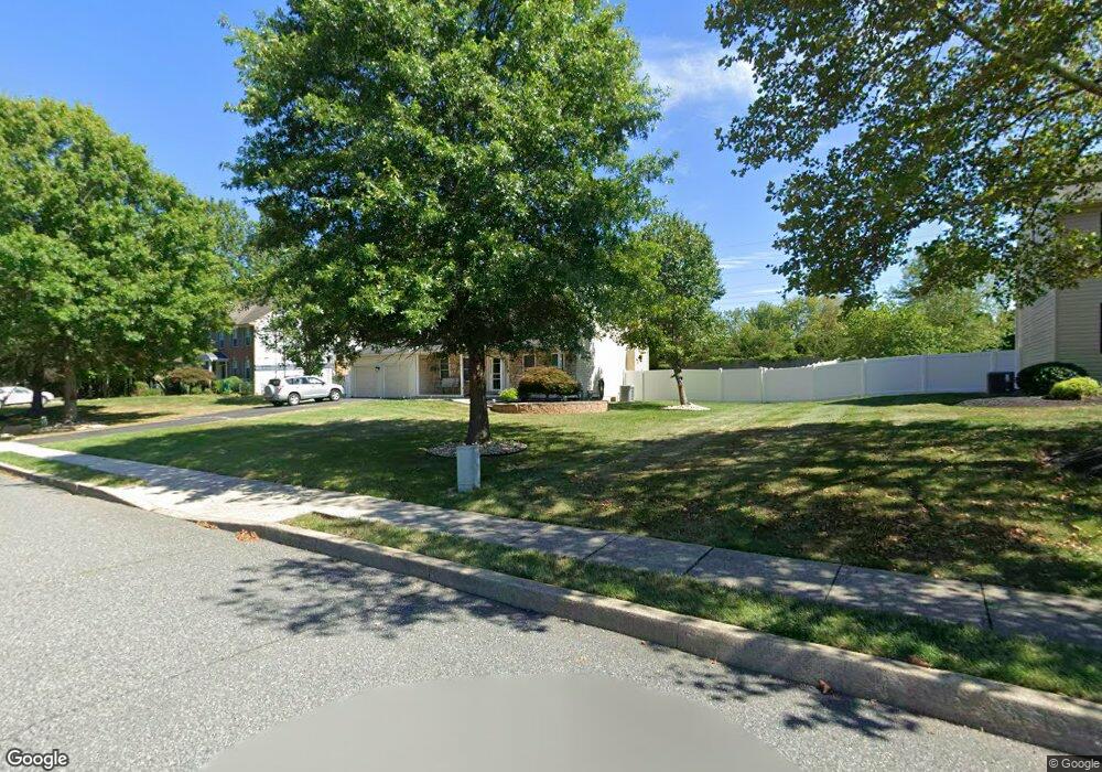
2029 Bevans Way Hatfield, PA 19440
Estimated Value: $595,000 - $659,000
4
Beds
3
Baths
2,168
Sq Ft
$289/Sq Ft
Est. Value
About This Home
This home is located at 2029 Bevans Way, Hatfield, PA 19440 and is currently estimated at $625,731, approximately $288 per square foot. 2029 Bevans Way is a home located in Montgomery County with nearby schools including A. M. Kulp Elementary School, Penndale Middle School, and North Penn Senior High School.
Ownership History
Date
Name
Owned For
Owner Type
Purchase Details
Closed on
Oct 31, 2009
Sold by
Patel Rajesh and Patel Rajesh
Bought by
Patel Ranjeeta and Patel Rejesh
Current Estimated Value
Purchase Details
Closed on
Oct 31, 2008
Sold by
Bunce Robert and Bunce Janine
Bought by
Patel Ranjesh and Patel Ranjeeta
Home Financials for this Owner
Home Financials are based on the most recent Mortgage that was taken out on this home.
Original Mortgage
$206,000
Outstanding Balance
$135,557
Interest Rate
6.13%
Estimated Equity
$490,174
Create a Home Valuation Report for This Property
The Home Valuation Report is an in-depth analysis detailing your home's value as well as a comparison with similar homes in the area
Home Values in the Area
Average Home Value in this Area
Purchase History
| Date | Buyer | Sale Price | Title Company |
|---|---|---|---|
| Patel Ranjeeta | -- | None Available | |
| Patel Ranjesh | $321,000 | None Available |
Source: Public Records
Mortgage History
| Date | Status | Borrower | Loan Amount |
|---|---|---|---|
| Open | Patel Ranjesh | $206,000 |
Source: Public Records
Tax History Compared to Growth
Tax History
| Year | Tax Paid | Tax Assessment Tax Assessment Total Assessment is a certain percentage of the fair market value that is determined by local assessors to be the total taxable value of land and additions on the property. | Land | Improvement |
|---|---|---|---|---|
| 2025 | $7,475 | $186,690 | $50,010 | $136,680 |
| 2024 | $7,475 | $186,690 | $50,010 | $136,680 |
| 2023 | $7,154 | $186,690 | $50,010 | $136,680 |
| 2022 | $6,921 | $186,690 | $50,010 | $136,680 |
| 2021 | $6,724 | $186,690 | $50,010 | $136,680 |
| 2020 | $6,565 | $186,690 | $50,010 | $136,680 |
| 2019 | $6,456 | $186,690 | $50,010 | $136,680 |
| 2018 | $6,456 | $186,690 | $50,010 | $136,680 |
| 2017 | $6,209 | $186,690 | $50,010 | $136,680 |
| 2016 | $6,137 | $186,690 | $50,010 | $136,680 |
| 2015 | $5,891 | $186,690 | $50,010 | $136,680 |
| 2014 | $5,891 | $186,690 | $50,010 | $136,680 |
Source: Public Records
Map
Nearby Homes
- 2111 Hidden Meadow Dr
- 5 Fortuna Dr
- 6 Fortuna Dr
- 9 Fortuna Dr
- 8 Fortuna Dr
- 401 Sadie Ave
- 373 Sydney Ln
- 381 Sydney Ave
- 375 Sydney Ln
- 1823 N Line St
- Warwick Plan at Sterling Walk
- Stratford Plan at Sterling Walk
- 000 Lenape Dr
- 0002 Sydney Ln
- 83 Bethlehem Pike Unit 1213 FIRESTONE
- 83 Bethlehem Pike Unit 1106- MADISON PLAN
- 6 Lantern Ln
- 732 Cowpath Rd
- 2674 Anthony Dr
- 100 Victoria Dr
- 2043 Bevans Way
- 2015 Bevans Way
- 151 Wynne Way
- 2001 Bevans Way
- 150 Wynne Way
- 165 Wynne Way
- 1033 Chapman Cir
- 1035 Chapman Cir
- 164 Wynne Way
- 1031 Chapman Cir
- 1029 Chapman Cir
- 1025 Chapman Cir
- 1037 Chapman Cir
- 1027 Chapman Cir
- 2026 N Broad St
- 2010 N Broad St
- 1023 Chapman Cir
- 1021 Chapman Cir
- 1041 Chapman Cir
- 1041 Chapman Cir Unit 21