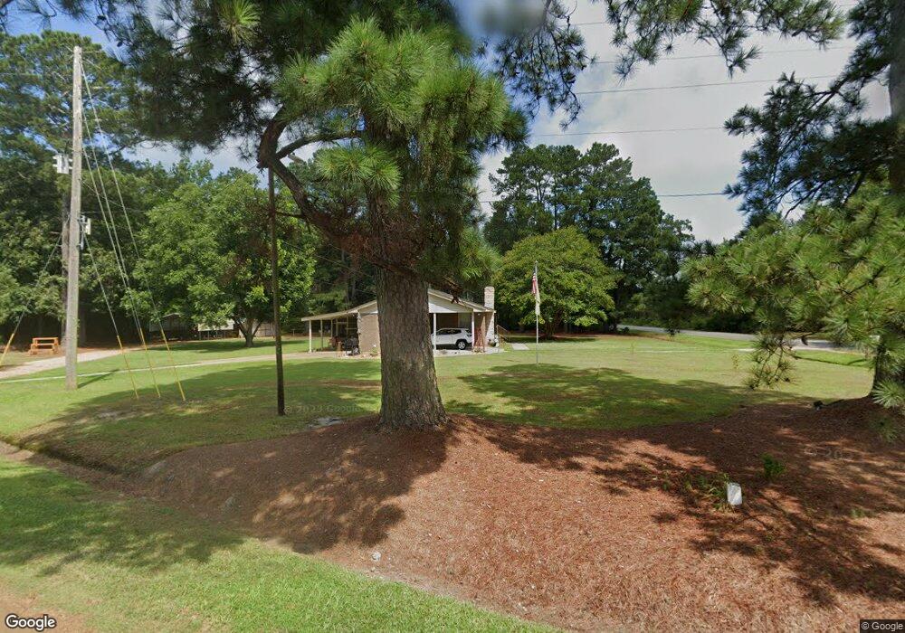
2029 Charles Taylor Rd Aulander, NC 27805
Estimated Value: $69,000 - $141,000
2
Beds
4
Baths
1,323
Sq Ft
$79/Sq Ft
Est. Value
About This Home
This home is located at 2029 Charles Taylor Rd, Aulander, NC 27805 and is currently estimated at $104,020, approximately $78 per square foot. 2029 Charles Taylor Rd is a home located in Bertie County with nearby schools including West Bertie Elementary School, Bertie Middle School, and Bertie High.
Ownership History
Date
Name
Owned For
Owner Type
Purchase Details
Closed on
May 12, 2023
Sold by
Tayloe Frederick A and Tayloe Ann D
Bought by
Tayloe Herbert C and Tayloe Alice B
Current Estimated Value
Purchase Details
Closed on
Aug 8, 2014
Sold by
Farmer Lee Roy and Farmer Denise D
Bought by
Tayloe Freddie A and Tayloe Ann D
Purchase Details
Closed on
Apr 7, 2010
Sold by
Francis Hazel H
Bought by
Farmer Clayton M and Farmer Sherri W
Home Financials for this Owner
Home Financials are based on the most recent Mortgage that was taken out on this home.
Original Mortgage
$66,273
Interest Rate
5.02%
Mortgage Type
Purchase Money Mortgage
Create a Home Valuation Report for This Property
The Home Valuation Report is an in-depth analysis detailing your home's value as well as a comparison with similar homes in the area
Purchase History
| Date | Buyer | Sale Price | Title Company |
|---|---|---|---|
| Tayloe Herbert C | $335,000 | None Listed On Document | |
| Tayloe Freddie A | $65,500 | None Available | |
| Farmer Clayton M | $65,000 | -- |
Source: Public Records
Mortgage History
| Date | Status | Borrower | Loan Amount |
|---|---|---|---|
| Previous Owner | Farmer Clayton M | $66,273 |
Source: Public Records
Tax History
| Year | Tax Paid | Tax Assessment Tax Assessment Total Assessment is a certain percentage of the fair market value that is determined by local assessors to be the total taxable value of land and additions on the property. | Land | Improvement |
|---|---|---|---|---|
| 2025 | $675 | $69,711 | $10,928 | $58,783 |
| 2024 | $675 | $69,711 | $10,928 | $58,783 |
| 2023 | $6 | $69,711 | $10,928 | $58,783 |
| 2022 | $603 | $69,711 | $10,928 | $58,783 |
| 2021 | $603 | $69,711 | $10,928 | $58,783 |
| 2020 | $603 | $69,711 | $10,928 | $58,783 |
| 2019 | $550 | $63,585 | $9,845 | $53,740 |
| 2018 | $528 | $63,585 | $9,845 | $53,740 |
| 2017 | $528 | $63,585 | $9,845 | $53,740 |
| 2016 | $528 | $63,585 | $9,845 | $53,740 |
| 2015 | $515 | $63,585 | $9,845 | $53,740 |
| 2014 | $515 | $63,585 | $9,845 | $53,740 |
| 2013 | $515 | $63,585 | $9,845 | $53,740 |
Source: Public Records
Map
Nearby Homes
- 312 Hoggard St
- 1027 N Carolina 305
- 436 N Carolina 11
- 1047 Republican Rd
- 401 E Main St
- 944 Republican Rd
- 154 Horace Vick Rd
- 104 Front St
- 248 N Carolina 305
- 943 Off 943 Governors Rd Nc 308 Rd
- Tbd Hendrix Ln
- 110 W Church St
- 943 Governors Rd
- 304 Peele St
- 531 Roquist Poquosin Rd
- 442 Mill Branch Church Rd
- 350 Hoggard Mill Rd
- 119 Stable Ln
- 0 N Carolina 308
- 0 Luther Brown Rd
- 2030 Charles Taylor Rdaulander
- 526 Francis Mill Rd
- 518 Francis Mill Rd
- 2024 Charles Taylor Rd
- 522 Francis Mill Rd
- 536 Francis Mill Rd
- 2022 Charles Taylor Rd
- 2020 Charles Taylor Rd
- 540 Francis Mill Rd
- 504 Francis Mill Rd
- 443 Francis Mill Rd
- 1946 Charles Taylor Rd
- 450 Francis Mill Rd
- 437 Francis Mill Rd
- 440 Francis Mill Rd
- 421 Francis Mill Rd
- 426 Francis Mill Rd
- 1916 Charles Taylor Rd
- 131 White Rd
- 403 Francis Mill Rd
Your Personal Tour Guide
Ask me questions while you tour the home.