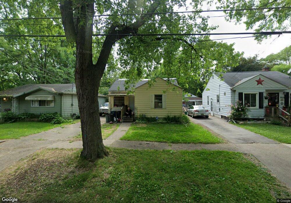
2029 Hoff St Flint, MI 48506
Eastside NeighborhoodEstimated Value: $21,000 - $49,000
2
Beds
1
Bath
811
Sq Ft
$47/Sq Ft
Est. Value
About This Home
This home is located at 2029 Hoff St, Flint, MI 48506 and is currently estimated at $38,098, approximately $46 per square foot. 2029 Hoff St is a home located in Genesee County with nearby schools including Potter School, Flint Cultural Center Academy, and Richfield Public School Academy.
Ownership History
Date
Name
Owned For
Owner Type
Purchase Details
Closed on
Feb 16, 2015
Sold by
Whipple David
Bought by
Finton Deanna
Current Estimated Value
Purchase Details
Closed on
Mar 10, 2009
Sold by
Secretary Of Housing & Urban Development
Bought by
Whipple David
Purchase Details
Closed on
Jul 15, 2008
Sold by
Bank Of The West
Bought by
The Secretary Of Housing & Urban Develop
Purchase Details
Closed on
Feb 27, 2008
Sold by
Todd Charles
Bought by
Commercial Federal Bank
Purchase Details
Closed on
Jun 16, 1999
Sold by
Estate Of Eleanor S Todd
Bought by
Todd Charles
Home Financials for this Owner
Home Financials are based on the most recent Mortgage that was taken out on this home.
Original Mortgage
$32,300
Interest Rate
7.15%
Mortgage Type
FHA
Create a Home Valuation Report for This Property
The Home Valuation Report is an in-depth analysis detailing your home's value as well as a comparison with similar homes in the area
Home Values in the Area
Average Home Value in this Area
Purchase History
| Date | Buyer | Sale Price | Title Company |
|---|---|---|---|
| Finton Deanna | -- | None Available | |
| Whipple David | $3,200 | None Available | |
| The Secretary Of Housing & Urban Develop | -- | None Available | |
| Commercial Federal Bank | $34,604 | None Available | |
| Todd Charles | $32,000 | Metropolitan Title Company |
Source: Public Records
Mortgage History
| Date | Status | Borrower | Loan Amount |
|---|---|---|---|
| Previous Owner | Todd Charles | $32,300 |
Source: Public Records
Tax History
| Year | Tax Paid | Tax Assessment Tax Assessment Total Assessment is a certain percentage of the fair market value that is determined by local assessors to be the total taxable value of land and additions on the property. | Land | Improvement |
|---|---|---|---|---|
| 2025 | $586 | $11,400 | $0 | $0 |
| 2024 | $544 | $10,600 | $0 | $0 |
| 2023 | $543 | $9,200 | $0 | $0 |
| 2022 | $0 | $7,400 | $0 | $0 |
| 2021 | $651 | $7,100 | $0 | $0 |
| 2020 | $515 | $6,300 | $0 | $0 |
| 2019 | $828 | $6,200 | $0 | $0 |
| 2018 | $2,221 | $5,000 | $0 | $0 |
| 2017 | $1,656 | $0 | $0 | $0 |
| 2016 | $648 | $0 | $0 | $0 |
| 2015 | -- | $0 | $0 | $0 |
| 2014 | -- | $0 | $0 | $0 |
| 2012 | -- | $7,900 | $0 | $0 |
Source: Public Records
Map
Nearby Homes
- 2426 Broadway Blvd
- 2211 Torrance St
- 2321 Levern St
- 2426 Hoff St
- 2601 Illinois Ave
- 1622 Arlington Ave
- 2506 Arlington Ave
- 1510 N Vernon Ave
- 2415 Pennsylvania Ave
- 1805 Bennett Ave
- 2610 Pennsylvania Ave
- 2217 Maryland Ave
- 2701 Branch Rd
- 2301 Missouri Ave
- 2002 Branch Rd
- 1721 New York Ave
- 2719 Branch Rd
- 2605 Nebraska Ave
- 3018 Dakota Ave
- 3149 Whittier Ave
Your Personal Tour Guide
Ask me questions while you tour the home.