2029 Lawson Pond Rd Morven, GA 31638
Estimated Value: $154,000 - $1,515,891
--
Bed
--
Bath
1,557
Sq Ft
$403/Sq Ft
Est. Value
About This Home
This home is located at 2029 Lawson Pond Rd, Morven, GA 31638 and is currently estimated at $626,964, approximately $402 per square foot. 2029 Lawson Pond Rd is a home with nearby schools including North Brooks Elementary School.
Ownership History
Date
Name
Owned For
Owner Type
Purchase Details
Closed on
Jan 11, 2021
Sold by
Griffin Joshua L
Bought by
Hiers Timothy F
Current Estimated Value
Purchase Details
Closed on
Mar 30, 2018
Sold by
Farmers & Merchants
Bought by
Griffin Joshua L and Griffin Monica L
Purchase Details
Closed on
Apr 4, 2017
Sold by
Mcleod John Daniel
Bought by
Farmers & Merchants Bank
Purchase Details
Closed on
May 10, 2012
Sold by
Mcleod John Daniel
Bought by
Conservation Use Covenant Recording
Purchase Details
Closed on
Apr 19, 2010
Sold by
Lawson Howard I
Bought by
Conservation Use Covenant Recording
Purchase Details
Closed on
Jan 9, 2008
Bought by
Conservation Use Covenant Recording
Purchase Details
Closed on
Oct 26, 1995
Sold by
Lawson Clyde Yawn
Bought by
Lawson Thomas Irvin
Purchase Details
Closed on
Sep 27, 1983
Sold by
Lawson Ernest and Lawson Thomas I
Bought by
Lawson Clyde Yawn
Create a Home Valuation Report for This Property
The Home Valuation Report is an in-depth analysis detailing your home's value as well as a comparison with similar homes in the area
Home Values in the Area
Average Home Value in this Area
Purchase History
| Date | Buyer | Sale Price | Title Company |
|---|---|---|---|
| Hiers Timothy F | $925,000 | -- | |
| Griffin Joshua L | $458,980 | -- | |
| Farmers & Merchants Bank | -- | -- | |
| Conservation Use Covenant Recording | -- | -- | |
| Conservation Use Covenant Recording | -- | -- | |
| Conservation Use Covenant Recording | -- | -- | |
| Lawson Thomas Irvin | -- | -- | |
| Lawson Clyde Yawn | -- | -- |
Source: Public Records
Tax History Compared to Growth
Tax History
| Year | Tax Paid | Tax Assessment Tax Assessment Total Assessment is a certain percentage of the fair market value that is determined by local assessors to be the total taxable value of land and additions on the property. | Land | Improvement |
|---|---|---|---|---|
| 2024 | $3,946 | $389,868 | $294,280 | $95,588 |
| 2023 | $3,536 | $351,988 | $266,200 | $85,788 |
| 2022 | $3,656 | $333,788 | $253,520 | $80,268 |
| 2021 | $686 | $152,320 | $152,320 | $0 |
| 2020 | $4,230 | $152,320 | $152,320 | $0 |
| 2019 | $638 | $173,960 | $173,960 | $0 |
| 2018 | $6,782 | $232,200 | $232,200 | $0 |
| 2017 | $6,802 | $232,200 | $232,200 | $0 |
| 2016 | $816 | $232,200 | $232,200 | $0 |
| 2015 | -- | $232,200 | $232,200 | $0 |
| 2014 | -- | $232,200 | $232,200 | $0 |
| 2013 | -- | $232,200 | $232,200 | $0 |
Source: Public Records
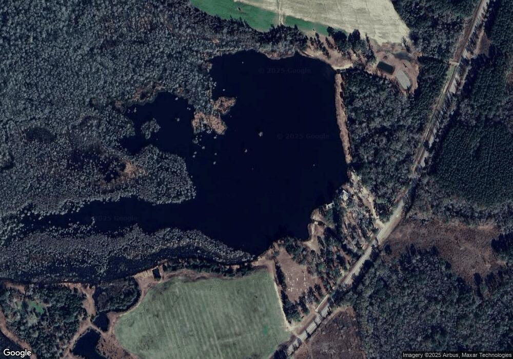
Map
Nearby Homes
- 1440 Peach Rd
- 168 Azalea St
- 165 Fletcher St
- 85 Hitch St
- Tract 2 Hall Webb Rd
- 11439 Adel Hwy
- 8290 Morven Rd
- 2275 Old Coffee Rd
- 7552 Webb Rd
- 8311 N Coffee Rd
- 6821 Miller Bridge Rd
- 6211 Hardee Dr
- 8200 Georgia 122
- 8739 Folsom Rd
- 6936 Simpson Rd
- 7398 Woodbend Trail
- 51 Green Lake Cir
- 8009 Webb Rd N
- 7361 Wind Chase Dr
- 17 Green Lake Cir