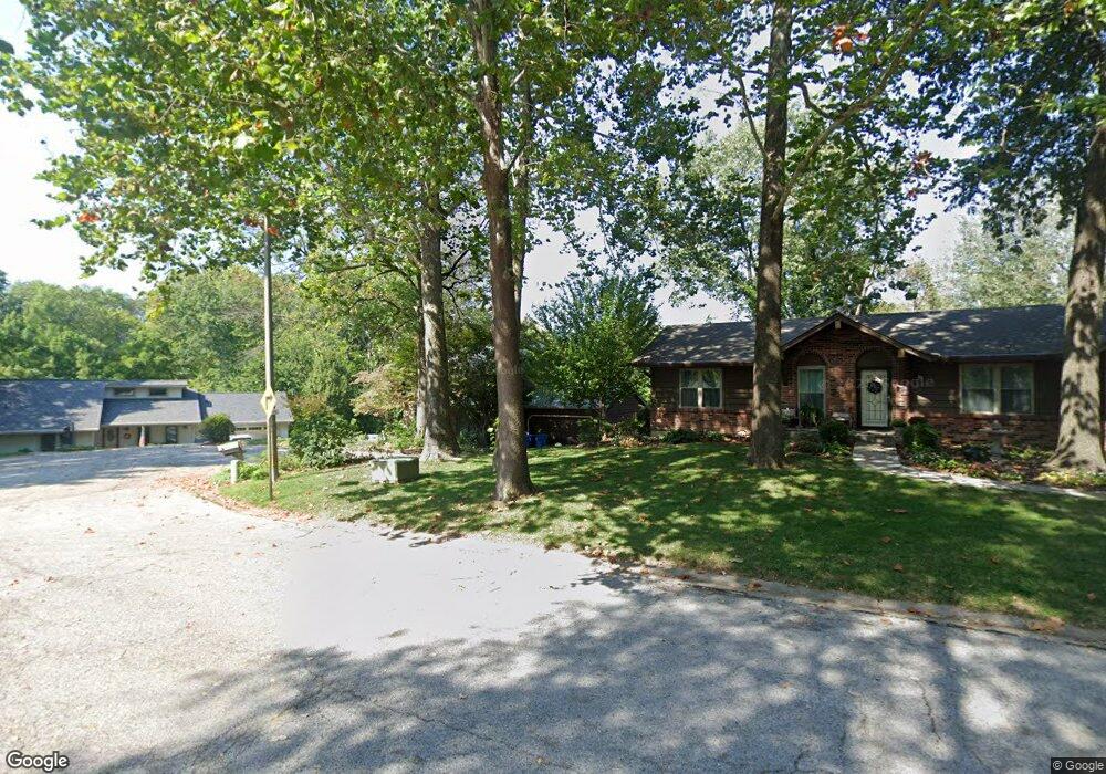
2029 Mapleleaf Dr Collinsville, IL 62234
Estimated Value: $208,000 - $315,000
4
Beds
4
Baths
1,717
Sq Ft
$164/Sq Ft
Est. Value
About This Home
This home is located at 2029 Mapleleaf Dr, Collinsville, IL 62234 and is currently estimated at $281,976, approximately $164 per square foot. 2029 Mapleleaf Dr is a home located in Madison County with nearby schools including John A Renfro Elementary School, Dorris Intermediate School, and Collinsville Middle School.
Ownership History
Date
Name
Owned For
Owner Type
Purchase Details
Closed on
Jul 19, 2010
Sold by
Kondaur Capital Corporation
Bought by
Mann Todd
Current Estimated Value
Home Financials for this Owner
Home Financials are based on the most recent Mortgage that was taken out on this home.
Original Mortgage
$144,060
Outstanding Balance
$99,387
Interest Rate
5.5%
Mortgage Type
FHA
Estimated Equity
$182,589
Purchase Details
Closed on
Nov 9, 2009
Sold by
Hayden Deborah S
Bought by
Kondaur Capital Corporation
Create a Home Valuation Report for This Property
The Home Valuation Report is an in-depth analysis detailing your home's value as well as a comparison with similar homes in the area
Home Values in the Area
Average Home Value in this Area
Purchase History
| Date | Buyer | Sale Price | Title Company |
|---|---|---|---|
| Mann Todd | $146,000 | Chicago Title | |
| Kondaur Capital Corporation | -- | None Available |
Source: Public Records
Mortgage History
| Date | Status | Borrower | Loan Amount |
|---|---|---|---|
| Open | Mann Todd | $144,060 |
Source: Public Records
Tax History
| Year | Tax Paid | Tax Assessment Tax Assessment Total Assessment is a certain percentage of the fair market value that is determined by local assessors to be the total taxable value of land and additions on the property. | Land | Improvement |
|---|---|---|---|---|
| 2024 | $4,281 | $72,970 | $17,600 | $55,370 |
| 2023 | $4,281 | $67,540 | $16,290 | $51,250 |
| 2022 | $4,050 | $62,450 | $15,060 | $47,390 |
| 2021 | $3,638 | $58,670 | $14,150 | $44,520 |
| 2020 | $3,494 | $56,050 | $13,360 | $42,690 |
| 2019 | $3,386 | $54,130 | $12,900 | $41,230 |
| 2018 | $3,297 | $51,280 | $12,220 | $39,060 |
| 2017 | $3,293 | $50,260 | $11,980 | $38,280 |
| 2016 | $3,459 | $50,260 | $11,980 | $38,280 |
| 2015 | $3,454 | $52,140 | $13,380 | $38,760 |
| 2014 | $3,454 | $52,140 | $13,380 | $38,760 |
| 2013 | $3,454 | $52,140 | $13,380 | $38,760 |
Source: Public Records
Map
Nearby Homes
- 2033 Mapleleaf Dr
- 804 Oran St
- 2019 Raintree Trail
- 2010 Raintree Trail
- 30 Saint Rose Dr
- 19 Pine Lake Dr
- 10 White Birch Ln
- 110 Linda Dr
- 102 3rd St
- 4 Cedar Point
- 204 Emery St
- 38 Lakeview Acres Dr
- 104 Rex Dr
- 1404 Olive St
- 625 W Country Ln
- 1511 Franklin Ave
- 6111 Tara Ln
- 44 Kimberly Ct
- 1202 State St
- 2 Eastway Ct
- 2031 Mapleleaf Dr
- 2027 Mapleleaf Dr
- 716 Hi Point St
- 714 Hi Point St
- 2025 Mapleleaf Dr
- 712 Hi Point St
- 2023 Mapleleaf Dr
- 722 Hi Point St
- 2022 Mapleleaf Dr
- 2104 Apple St
- 711 Highpoint St
- 2102 Apple St
- 2021 Mapleleaf Dr
- 715 Highpoint St
- 2020 Mapleleaf Dr
- 2106 Apple St
- 713 Hi Point St
- 711 Hi Point St
- 2104 Laura St
- 715 Hi Point St
Your Personal Tour Guide
Ask me questions while you tour the home.