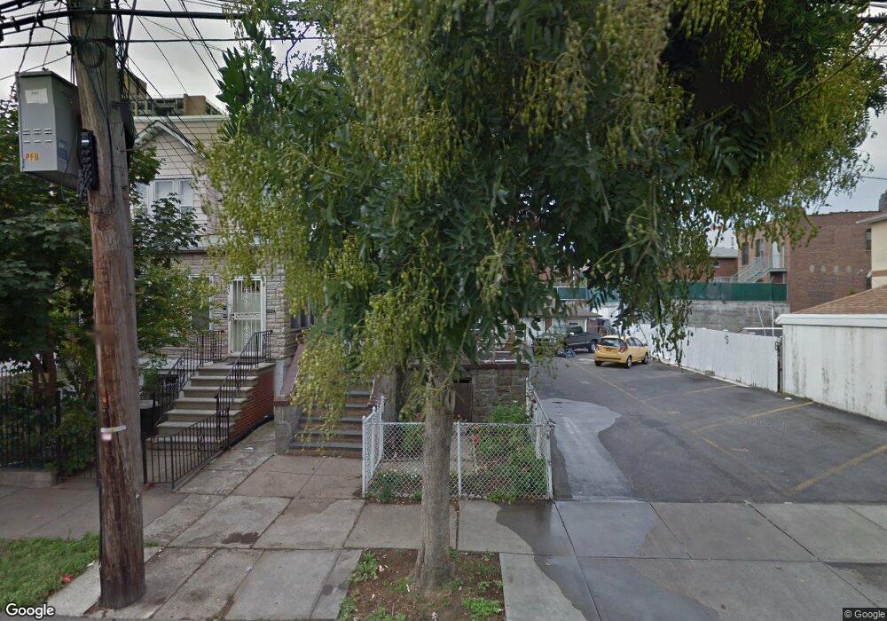
2029 Muliner Ave Bronx, NY 10462
Morris Park NeighborhoodEstimated Value: $846,000 - $1,095,000
--
Bed
--
Bath
2,812
Sq Ft
$345/Sq Ft
Est. Value
About This Home
This home is located at 2029 Muliner Ave, Bronx, NY 10462 and is currently estimated at $970,500, approximately $345 per square foot. 2029 Muliner Ave is a home located in Bronx County with nearby schools including Bronx Green Middle School, Pelham Academy, and Bronx Charter School For Excellence 2.
Ownership History
Date
Name
Owned For
Owner Type
Purchase Details
Closed on
Sep 13, 2018
Sold by
Malik Mohammad A
Bought by
5H Hldh Llc
Current Estimated Value
Purchase Details
Closed on
Dec 10, 2010
Sold by
Ahmed Chaudry and Malik Mohammad A
Bought by
Malik Mohammad A
Purchase Details
Closed on
Oct 15, 2007
Sold by
Ahmed Chaudrey F and Malik Mohammad
Bought by
Ahmed Chaudrey F and Malik Mohammad
Purchase Details
Closed on
Jan 12, 2007
Sold by
Malik Mohammad
Bought by
Ahmed Chaudrey F and Malik Mohammad
Create a Home Valuation Report for This Property
The Home Valuation Report is an in-depth analysis detailing your home's value as well as a comparison with similar homes in the area
Home Values in the Area
Average Home Value in this Area
Purchase History
| Date | Buyer | Sale Price | Title Company |
|---|---|---|---|
| 5H Hldh Llc | $445,000 | -- | |
| Malik Mohammad A | -- | -- | |
| Ahmed Chaudrey F | -- | -- | |
| Ahmed Chaudrey F | -- | -- |
Source: Public Records
Tax History Compared to Growth
Tax History
| Year | Tax Paid | Tax Assessment Tax Assessment Total Assessment is a certain percentage of the fair market value that is determined by local assessors to be the total taxable value of land and additions on the property. | Land | Improvement |
|---|---|---|---|---|
| 2025 | $9,445 | $47,382 | $11,013 | $36,369 |
| 2024 | $9,445 | $47,024 | $11,398 | $35,626 |
| 2023 | $9,010 | $44,363 | $10,104 | $34,259 |
| 2022 | $8,355 | $48,060 | $12,900 | $35,160 |
| 2021 | $8,310 | $50,460 | $12,900 | $37,560 |
| 2020 | $8,358 | $44,640 | $12,900 | $31,740 |
| 2019 | $8,198 | $42,540 | $12,900 | $29,640 |
| 2018 | $7,536 | $36,969 | $12,557 | $24,412 |
| 2017 | $7,110 | $34,878 | $11,093 | $23,785 |
| 2016 | $6,578 | $32,904 | $12,114 | $20,790 |
| 2015 | $3,968 | $32,904 | $13,195 | $19,709 |
| 2014 | $3,968 | $32,656 | $14,321 | $18,335 |
Source: Public Records
Map
Nearby Homes
- 2037 Radcliff Ave
- 2080 Matthews Ave
- 2090 Barnes Ave Unit 6A
- 2090 Barnes Ave Unit 4D
- 2090 Barnes Ave Unit 2H
- 2080 Barnes Ave Unit 5C
- 2080 Barnes Ave Unit 3H
- 2080 Barnes Ave Unit 4A
- 2080 Barnes Ave Unit 5B
- 1925 Bogart Ave
- 1958 Colden Ave
- 760 Brady Ave Unit 117
- 758 Brady Ave Unit 411
- 758 Brady Ave Unit 214
- 760 Brady Ave Unit 417
- 2075 Wallace Ave Unit 546
- 762 Brady Ave Unit 221
- 762 Brady Ave Unit 621
- - Lydig Ave
- 754 Brady Ave Unit 303
- 2027 Muliner Ave
- 2025 Muliner Ave
- 838 Brady Ave
- 840 Brady Ave
- 2023 Muliner Ave
- 834 Brady Ave
- 2040 Matthews Ave
- 2021 Muliner Ave
- 2034 Matthews Ave
- 2032 Matthews Ave
- 2019 Muliner Ave
- 2036 Matthews Ave
- 2042 Matthews Ave
- 2030 Matthews Ave
- 902 Brady Ave
- 2034 Muliner Ave
- 2017 Muliner Ave
- 2030 Muliner Ave
- 2028 Matthews Ave
- 2026 Muliner Ave